By William Fischer, Jr., October 14, 2018
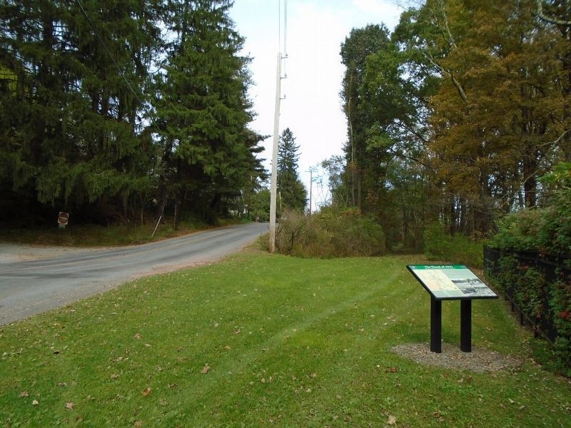
The Flood of 1955 Marker
RANKED BY RELEVANCE
| On Sand Spring Road (County Route 1008) at Hardytown Road, on the left when traveling south on Sand Spring Road. |
| On River Road 0 miles south of Hollow Road, on the left when traveling north. |
| On Main Street (U.S. 209), on the right when traveling north. |
| On Main Street (U.S. 209) at 9th Street, on the left when traveling north on Main Street. |
| On Manor Drive (PA 611) at T 537 at the bridger on Manor Drive (PA 611). |
| On Rochester Street (New York State Route 251) 0.2 miles south of Main Street ( Route 383). |
| On Slutter Road 0.5 miles Locust Ridge Road (State Route 4003), on the left when traveling east. |
| On Benton Avenue East (County Road H35) at North Clinton Street, on the right when traveling west on Benton Avenue East. |
| On 3rd Street north of Fulmer Avenue / Kraemer Avenue, on the left when traveling north. |
| On Delaware Drive (Pennsylvania Route 611) at Hester Street, on the left when traveling north on Delaware Drive. |
| Near South Washington Street south of West Hillside Road, on the right when traveling south. |
| On North Main Street south of First Street, on the left when traveling south. |
| Near N. Texas Ridge Road 0.1 miles east of North County Line Road, on the left when traveling east. |
| On Otia-Blythe Road east of Turkey Neck Bend (Kentucky Route 214), on the left when traveling south. |
| Near East State Street (New York State Route 408) at Genesee Street. |
| Near Park Road (County Route 25) 0.2 miles west of Corduroy Road. |
| On North State Street (Ohio Route 3) at East Main Street, on the right when traveling north on North State Street. |
| On Monroe Street at 7th Street, on the left when traveling west on Monroe Street. |
| On Kanawha Trail (West Virginia Route 311) at Jefferson Lane, on the right when traveling south on Kanawha Trail. |
| Near Moore Road south of Elmwood Avenue, on the right when traveling south. |
| On Platt St 0.1 miles west of Brown's Race, on the right when traveling east. |
| Near Platt St 0.2 miles east of Brown's Race. |
Thin black lines indicate changes in relevance. Between each pair of lines entries are ordered geographically but all have the same relevance.* Inflectional forms of words are their plurals, singulars, and possessives as well as gramatical tenses and similar variations.
Nov. 13, 2026
