By Anton Schwarzmueller, August 16, 2026
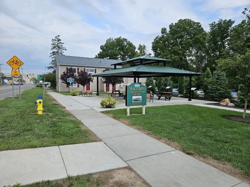
Town of Macedon Marker
RANKED BY RELEVANCE
| On West Main Street (New York State Route 31) at Erie Street North, on the right when traveling east on West Main Street. |
| Near East Main Street at Ethel Mae Johnson Way, on the right when traveling west. |
| On North Main Street at Church Street ( Route 89), on the right when traveling north on North Main Street. |
| On Bay Street (New York State Route 14 Connector Road) west of Lummis Street, on the right when traveling west. |
| On William Street just south of Canal Street, on the right when traveling south. |
| On Leach Road 0.1 miles south of Water Street, on the left when traveling north. |
| On Grand Street at Broad Street, on the left when traveling west on Grand Street. |
| On Geneva Street (New York State Route 14) at Montezuma Street, on the left when traveling north on Geneva Street. |
| On Butternut Street at Church Street, on the left when traveling north on Butternut Street. |
| On Water Street at Leach Road, on the left when traveling west on Water Street. |
| On Main Street (New York State Route 414), on the right when traveling south. |
| On Ontario Center Road 0.2 miles south of Brick Church Road, on the left when traveling north. |
| On Hancock Avenue, on the left when traveling north. |
| On Michigan Avenue 0.1 miles east of Capital Avenue Southwest, on the right when traveling north. |
| On North McClure Road 1 mile south of Ohio Route 81, on the left when traveling south. |
| On Wheatfield Road at Birney Lane, on the right when traveling east on Wheatfield Road. |
| On Hancock Highway (Pennsylvania Route 191), on the left when traveling north. |
| Near Bova Road 0.1 miles west of U.S. 209, on the right when traveling west. |
| On East Main Street (New York State Route 31) at Fayette Street, on the left when traveling east on East Main Street. Reported missing. |
| On 9th Street at Court Street, on the left when traveling east on 9th Street. |
| On 8th Street at Oak Street (U.S. 60), on the right when traveling south on 8th Street. |
| On William Street just south of Canal Street, on the left when traveling south. |
| On Wayneport Road at North Canal Road, on the right when traveling north on Wayneport Road. |
| On Ridge Road-Main Street (County Route 103) at Lake Avenue ( Route 21), on the left when traveling west on Ridge Road-Main Street. |
| On U.S. 6, on the right when traveling south. |
| On Park Street at Dyberry Place, on the right when traveling east on Park Street. |
| On Main Street (U.S. 6) south of Park Street, on the left when traveling south. |
| On Huron River Drive 0.1 miles east of Sterling Street, on the right when traveling east. Reported unreadable. |
| On Water Street at Leach Road, on the left when traveling east on Water Street. |
| On Texas Palmyra Highway (U.S. 6), on the right when traveling south. |
| On State Street (U.S. 89) at the road to Mount Carmel Cemetery, on the left when traveling north on State Street. |
| On U.S. 12, on the right when traveling west. |
| Near Ontario Center Road 0.2 miles south of Brick Church Road. |
| On North Carolina Highway 58 (State Highway 58) at Fort Run Road (State Highway 1058), on the right when traveling south on North Carolina Highway 58. |
| On Highland Boulevard (State Highway 118) at Queen Street, on the right when traveling north on Highland Boulevard. |
Thin black lines indicate changes in relevance. Between each pair of lines entries are ordered geographically but all have the same relevance.* Inflectional forms of words are their plurals, singulars, and possessives as well as gramatical tenses and similar variations.
Nov. 13, 2026
