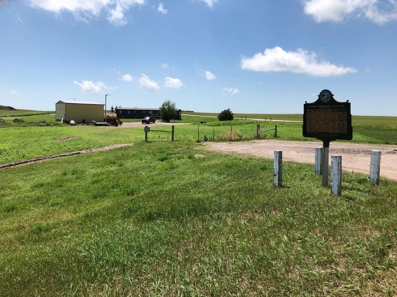
Camp BF-3: located 1 mile E, 4 miles S, 1 mile W & 5 miles S
Company: 4723 May 1937-Fall 1939
The Civilian Conservation Corps was a federal relief program during 1933-1942 that gave jobless men work renovating abused lands. The Army . . . — — Map (db m137082) HM
This trail features seven types of animals that once lived in the area now known as Badlands National Park. Each of these lineages met a different fate as the climate changed. Some moved, some adapted to the changes, and some are now extinct. . . . — — Map (db m114175) HM
In the days when oreodonts walked this land, the rock layer before you was not rock but the muddy bottom of a streambed. Over time, those sediments hardened into the thick horizontal band of grayish red stone you see here.
Thin ribbons of . . . — — Map (db m137007) HM
Water is scarce in the Badlands, which get less than 16 inches of precipitation per year. The bowl-like Cliff Shelf where you stand provides more moisture than commonly found in this desolate land.
Drawn to this spot for more than 11,000 . . . — — Map (db m137125) HM
Rock layers in Badlands National Park contain fossils that show a dramatic cooling and drying of global climate over millions of years. The oldest rock layers contain marine fossils, roughly 70 million years old, from when this area was . . . — — Map (db m113124) HM
Oredonts were common throughout the Badlands, but became extinct. Their fossil remains provide evidence of their lives and habitat. Fossils can develop over time when animal or plant remains are quickly covered in sediment and replaced by . . . — — Map (db m113122) HM
Dogs have changed and adapted over millions of years. Members of the dog lineage gradually evolved in to the wolf by growing longer, stronger legs and a shorter tail. This increased size led to increased strength and power to hunt food and . . . — — Map (db m113177) HM
Mako sica - Lakota
Les mauvaises terres
The Badlands
When the Lakota looked on the land around you, they saw the Paha ska (white hills)-a place of bountiful hunting. Historically used for transitory camps, the Paha . . . — — Map (db m137121) HM
These rocks were deposited millions of years ago when rivers and wind spread silt, sand, and ash across the landscape. About 500,000 years ago, ancient rivers began eroding this area, leading to the present day landscape. Modern rivers, rain, . . . — — Map (db m113126) HM
Prehistoric alligators lived in swampy conditions, as they do today.
Physically, alligators have changed mostly in size over the last several million years. Modern alligators are larger, growing up to 14 feet long. Ancient alligators grew . . . — — Map (db m113092) HM
The Badlands Wall constantly retreats north as it erodes and washes into the White River Valley below. The Wall, an intricately carved cliff, divides the upper from the lower prairie.The wall is more than sixty miles long. It is the geologic feature . . . — — Map (db m45289) HM
A few hundred yards to the west, turn left on the sage Creek Rim Road for Roberts Prairie Dog Town and the Sage Creek Primitive Campground. Wildlife, particularly bison, is often seen near this gravel road.
The Sage Creek Rim Road . . . — — Map (db m113127) HM
The discovery of this specimen led to the golden age of paleontology in North America. After acquiring this fossil from fur traders, Dr. Hiram Prout wrote about it in 1846. His description captured the attention of scientists. At that time, . . . — — Map (db m113176) HM
Ammonite fossils found in the park are evidence that this area was under water 75 million years ago. Some ammonites could grow to more that three feet across and served as a food source for giant mosasaurs and other predators.
The Western . . . — — Map (db m113115) HM
Your fossil discovery begins a scientific process. Every detail is important, even the area around the find. A fossil and its surroundings reveal what types of plants and animals existed and how they lived, died, and changed.
The . . . — — Map (db m113123) HM
Finding the pass too steep and rough for wagon traffic, homesteaders on the way to Interior parked their rigs at the top—then walked or coaxed their horses down.
How steep is Saddle Pass Trail?
Find out for yourself. Half an hour will . . . — — Map (db m237670) HM
East 1/2 mile from this point on the old Cherry Creek - Pine Ridge Trail, Chief Big Foot (Spotted Elk) and his Minneconjou, wagon Horse band, with some forty braves and Sitting Bull's Hunkpapa band was intercepted and surrended on December 28, 1890 . . . — — Map (db m179956) HM
This monument erected by surviving relatives and other Ogallala and Cheyenne River Sioux Indians in memory of the Chief Big Foot Massacre December 29, 1890. Col. Forsyth was in command of the U.S. Troops. Big Foot was a great chief of the Sioux . . . — — Map (db m122747) WM
Dec. 29, 1890, Chief Big Foot, with his Minneconjou and Hunkpapa Sioux Band of 108 warriors, 250 women and children were encamped on this Flat, surrounded by the U.S. 7th Cavalry (470 soldiers) commanded by Col. Forsythe.
The "Messiah Craze" . . . — — Map (db m40643) HM