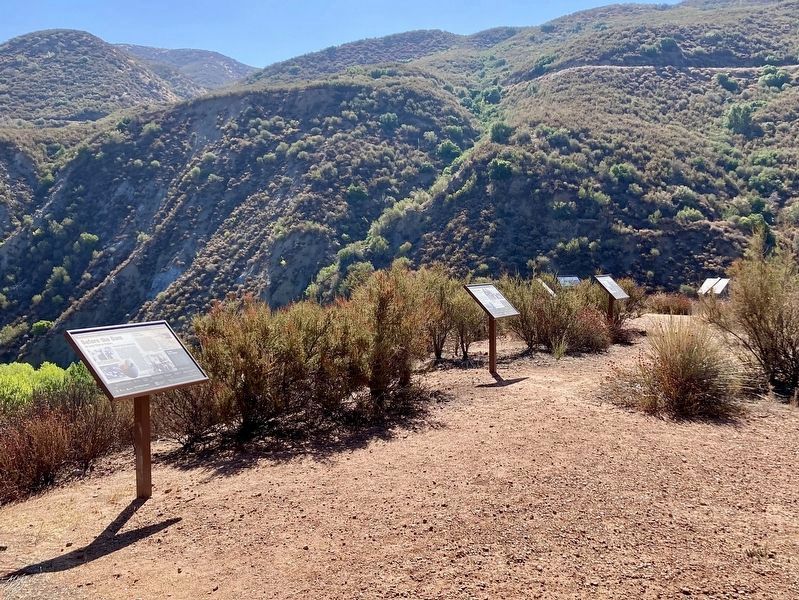
Tataviam Native Americans
The Tataviam - a name applied to the people occupying this
region by other tribal groups, and varying in meaning from
"people facing the sun" to "people of the south facing slope"
- lived in . . . — — Map (db m285463) HM
What Were the Water Wars?
The California Water Wars were a series of political conflicts that took place in the
late 19th and early 20th centuries in Owens Valley. These conflicts centered around
Los Angeles' expanding population . . . — — Map (db m285492) HM
Early Life
William Mulholland joined the British
Merchant Navy at the age of 15 and
sailed as an apprentice for several years.
After landing in the United States, he
worked on the Great Lakes and in the
lumber camps of Michigan . . . — — Map (db m285493) HM
Problems With Design
Too Tall
Final design was 20 ft higher than the
original plan, without increasing the base
width to support the additional height.
Hydraulic Uplift
The design did not . . . — — Map (db m285494) HM
Hello Girls
Telephone operators such as Louise Gipe in Santa
Paula and Reicel Jones in Saticoy - subsequently
nicknamed the "Hello Girls" - bravely stayed at
their posts after being notified of the flood headed
their way. They . . . — — Map (db m285495) HM
Policy Changes
In response to the failure of the St. Francis Dam,
the California Department of Water Resources
Division of Safety of Dams was established on
August 14, 1929, by the State Legislature. The
division was . . . — — Map (db m285496) HM
Tony Harnischfeger
Tony was the dam keeper who frantically called
Mulholland earlier that day worried about the
muddy water coming from the dam. It is believed
that his girlfriend Leona, his 6-year old son Coder,
and
he, were . . . — — Map (db m285498) HM
Geology That Contributed to the Failure
Landslides of the eastern abutment, oversaturated
sandstone and conglomerate of the western abutment,
and an active thrust fault under the footing contributed
to the failure. The Sespe . . . — — Map (db m285501) HM
On this site in August of 1924 construction started on the St. Francis Dam, a unit of the Los Angeles Aqueduct. When it was completed in May of 1926, this concrete dam stood 185 feet above the stream bed, impounding a 610 surface-acre lake.
. . . — — Map (db m143721) HM
The 185-foot concrete St. Francis Dam, part of the Los Angeles aqueduct system, stood 1½ miles north of this site. On March 12, 1928, the 185-foot high concrete dam collapsed just before midnight, sending 12½ billion gallons of water roaring down . . . — — Map (db m143722) HM
The St. Francis Dam, part of the
Los Angeles Aqueduct system,
stood 1½ miles north of this site.
On March 12, 1928, the 185-foot high
concrete dam collapsed just
before midnight, sending 12⅓ billion
gallons of water roaring down . . . — — Map (db m146564) HM
Harry Carey Sr. was an early silent-screen actor who starred in more than 200 films. In 1916 he took over the homestead rights of a previous settler and established his ranch of almost 2,000 acres. Carey, the first of many film actors to settle in . . . — — Map (db m146570) HM
The bell in the tower of this station was fabricated by the C.S. Bell Company of Hillsboro, Ohio. It weighs approximately 400 pounds and measures 30 inches in diameter at the base. The bell originally hung in the belfry of Saugus Elementary School, . . . — — Map (db m143725) HM
This was one of several cottages built in the 1920s along
present-day Magic Mountain Parkway for operators of
Southern California Edison's Saugus substation. Some of
the cottages were destroyed in the 1928 St. Francis Dam
disaster. Three were . . . — — Map (db m119564) HM
This memorial is dedicated to commemorate the 90th anniversary of the St. Francis Dam Disaster.
Just before midnight on March 12, 1928, the dam collapsed and sent billions of gallons of water down the San Francisquito Canyon, eventually meeting . . . — — Map (db m146566) HM
Three minutes before midnight on the night of March 12, 1928, the St. Francis Dam collapsed sending over twelve billion gallons of water and debris the length of the Santa Clara River Valley from San Francisquito Canyon through Piru, Fillmore, and . . . — — Map (db m146565) HM
Minutes before midnight on the chilly evening of March 12, 1928, the St. Francis Dam failed. The dam's 200-foot high concrete wall crumpled and collapsed, sending billions of gallons of raging flood waters down San Francisquito Canyon, about five . . . — — Map (db m146569) HM
To honor victims of the St. Francis Dam Disaster, March 12, 1928. This monument of native stone was placed in respectful memory of the nameless souls whose unmarked graves rest in this hallowed ground. — — Map (db m146567) HM