9 entries match your criteria.
Historical Markers in Central Kootenay, British Columbia
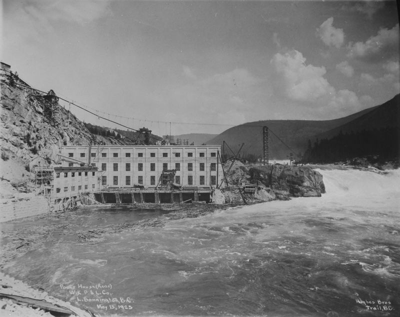
Canada Dept. of Mines & Technical Surveys via Library & Archives Canada PA-015550 (Public domain), May 13, 1925
West Kootenay Power & Light Co. power house, Lower Bonnington Dam
| On Nelson Nelway Highway (Provincial Highway 3A) 0.2 kilometers east of South Slocan Village Road, on the right when traveling east. Reported missing. |
| On Brilliant Road, 0.5 kilometers east of Gorkoff Road, on the right when traveling east. |
| On British Columbia 6, 0.2 kilometers south of Crescent Valley Road, on the right when traveling south. |
| On Highway 3A, 0.3 kilometers south of View Road, on the right when traveling south. |
| On Nelson Nelway Highway (Provincial Highway 3A) 0.2 kilometers west of Government Road, on the right when traveling west. |
| On Vernon Street at Ward Street, on the right when traveling east on Vernon Street. |
| On Eastman Avenue at Davis Street, on the left when traveling north on Eastman Avenue. |
| On Crowsnest Highway (Provincial Highway 3) 3 kilometers south of Salmo Ski Hill Road, on the left when traveling south. |
| On Slocan Star Street, 0.3 kilometers east of Sandon Road, on the left when traveling east. |
May. 18, 2024