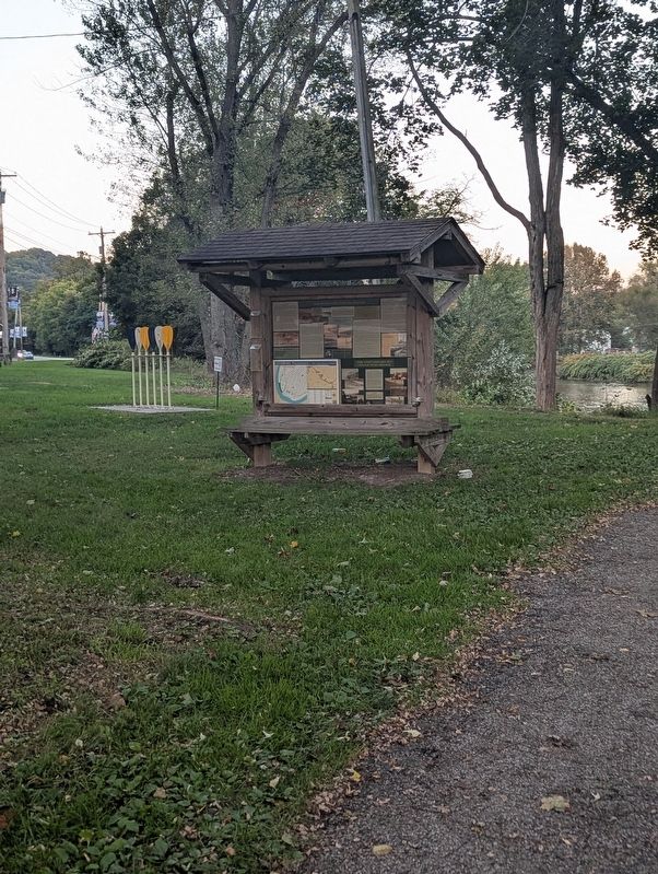
On Market Street, on the right when traveling north.
Crossing the “Kiski”
The State of Pennsylvania has over 86,000 miles of rivers and streams, the most of any state in the continental United States. The Kiskiminetas River to your right is part of the Allegheny River Watershed and contributes 27 . . . — — Map (db m314501) HM
On Market Street (U.S. 422) at Water Street, on the right when traveling west on Market Street.
Kittanning or Attiqué Indian Town was located on this river flat. The chief settlement as early as 1727, of the Lenni-Lenape or Delaware Indians in their early westward movement from the Susquehanna River, became the most important Indian center . . . — — Map (db m49191) HM
On Taneytown Road (State Highway 134), on the right when traveling south.
(Front):2d. Pennsylvania Cavalry attached to Provost Guard, Army Headquarters. The Regiment held this position July 3rd. until the close of the day when it conducted 3000 prisoners to Westminster, Md. Detach- ments served on other parts of . . . — — Map (db m14464) HM WM
Prior to settlement, a native american presence evident in this vicinity. What is now Freeport and west of the Allegheny River, did not belong to Pennsylvania until the purchase of 1784. The "Depreciation Lands", surveyed out of this purchase were . . . — — Map (db m114803) HM
This stone marks the grave of Major General John Armstrong, “First Citizen of Carlisle” and “Hero of Kittanning”.
Armstrong was born October 13, 1717 in Ireland and settled in the Cumberland Valley sometime between . . . — — Map (db m166858) HM
On South Grant Avenue south of Market Street, on the left when traveling south.
(Panel 1):
The Armstrong Trail is located along the eastern bank of the Allegheny River in Armstrong and Clarion Counties. Currently, the trail has 36 miles of a relatively flat, compressed surface and runs from Rosston to East Brady. . . . — — Map (db m286338) HM
On Logan Avenue at Veterans Avenue on Logan Avenue.
Born Jack Benjamin Wilson in 1909 and raised in Leechburg, PA. "Pittsburgh Jackie" began boxing professionaly in 1929 during boxing's golden age. He defeated Jack Lemos in 1941 to become the National Box Association Featherweight World Champion 1941 . . . — — Map (db m275946) HM
Designed by the John A. Roebling’s Sons Co. of Trenton, NJ and constructed of wood on the piers of the Pennsylvania Railroad’s former East Leechburg Bridge in 1920. The original bridge washed away in the St. Patrick’s Day Flood of 1936. Rebuilt in . . . — — Map (db m275937) HM
Near Hemlock Acres Road 2.2 miles north of Pennsylvania Route 954.
This is a small re-creation of an 18th century log fort or blockhouse typical of this area. The building was erected in Smicksburg by Amish craftsmen using local logs and authentic saddle-notch construction and then moved to this site. Log buildings . . . — — Map (db m49198) HM
On North River Avenue (Pennsylvania Route 268) 0.1 miles south of Bluff Road, on the right when traveling south.
Parker is the only city in Armstrong County and is located in its extreme northwestern portion. The city was named for Judge John Parker, lead surveyor of Lawrenceburg and founder/owner of Parker's Landing-the two villages combined to create . . . — — Map (db m177577) HM
On South Water Street (Business U.S. 422) just north of Jacob Street, on the left when traveling north.
(Panel 1):
From Where You Stand
Past & Present
Of the many important aspects of our town's past and present none figures more prominently than the Allegheny River-the transportation artery that brought commercial and . . . — — Map (db m286970) HM
Thin black lines indicate changes in relevance. Between each pair of lines entries are ordered geographically but all have the same relevance.
* Inflectional forms of words are their plurals, singulars, and possessives as well as gramatical tenses and similar variations.