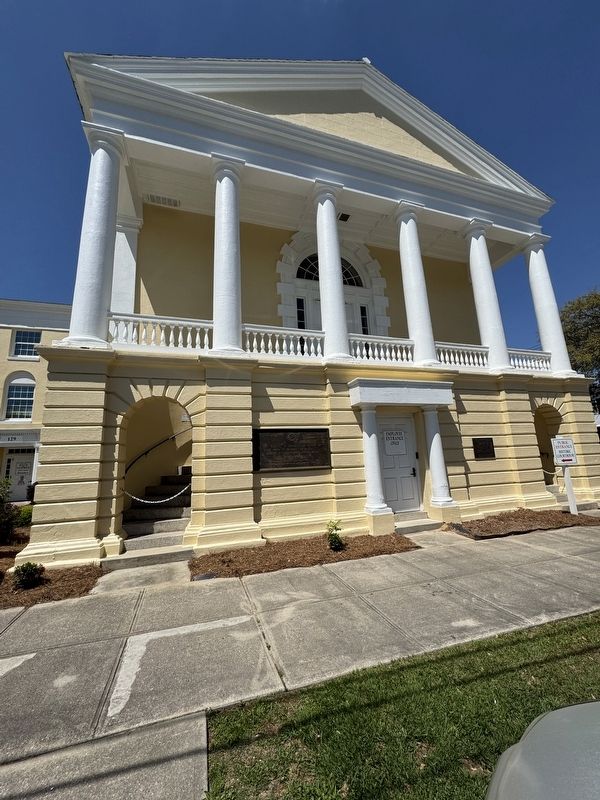
On Front Street at St. James Street, on the right when traveling east on Front Street.
This house, one of Georgetown’s earliest, was built ca. 1737 by John and Mary Perry Cleland. Mrs. Cleland inherited the property from her father John Perry, who had been granted a large tract in 1705 including the site of present-day Georgetown. . . . — — Map (db m7863) HM
On Front Street near King Street, on the left when traveling west.
This house, probably built between 1750 an 1800, was for many years the home of Harold Kaminski (1886–1951), Georgetown County commissioner, mayor 1930–35, and U.S. Navy officer, and his wife Julia Bossard Pyatt (d. 1972). The house was originally . . . — — Map (db m98297) HM
On Front Street, on the right when traveling west.
Overlooking the Sampit River, the Kaminski House Museum is pre-Revolutionary War and one of over 60 antebellum landmarks in the Georgetown Historic District. The house was built by Paul Trapier, a prominent local merchant, considered to be one of . . . — — Map (db m66371) HM
On East Bay Street south of River Road, on the right when traveling east.
Historically Significant
A strategic site of protection for the city and harbor.
Presently
This beautiful public park offers excellent vistas of upper Winyah Bay's marshes, beaches, waterways, and harbor. . . . — — Map (db m300886) HM
On Front Street north of King Street, on the right when traveling north.
The Robert Steward House was built between 1740 and 1770 by Robert Stewart (d.1776), planter and militia captain; it was acquired in 1787 by Daniel Tucker (d. 1797), prominent Georgetown merchant. When President George Washington arrived in . . . — — Map (db m4856) HM
On Prince Street at Broad Street, on the left when traveling east on Prince Street.
732 Prince Street was the home of William Doyle Morgan (1853–1938), mayor 1891–1906 and the catalyst for much of Georgetown’s growth and prosperity by the turn of the century. He helped give the city what one observer called “the snap and vim of . . . — — Map (db m7603) HM
After Eutaw Springs, the British retreated to their post at Fair Lawn Plantation. In November 1781, Brig. Gen. Francis Marion sent Col. Hezekiah Maham with 180 horsemen and Col. Isaac Shelby with 200 mountain riflemen to eliminate British foraging . . . — — Map (db m53885) HM
On Henry Road (State Highway 512) east of Ivey Road (County Route 45-121), on the left when traveling east.
Active in the Red Shirt campaign which resulted in Gen. Wade Hampton’s election as SC governor, 1876, Chandler later served as Supervisor of Williamsburg County. He was twice elected to the SC House and was known as “an honest and manly . . . — — Map (db m27900) HM
Belle Wilcox Baruch, with great love and foresight for Hobcaw Barony, provided a plan that enables generations of people to understand and learn from Hobcaw's forests, marshes, and beaches.
In 1936, Bellefield Plantation became Belle's winter . . . — — Map (db m39643) HM
On Highmarket Street at North Fraser Street (U.S. 17), on the right when traveling west on Highmarket Street.
From the 1880's to the 1930's the block bordered by Highmarket, Dozier, Duke and Church streets served as a cemetery for criminals, the indigent and the unknown. These types of cemeteries were located in many towns and communities and were . . . — — Map (db m184660) HM
On Prince Street, on the right when traveling north.
Has Been Designated A
National
Historic Landmark
This site possesses national significance
in commemorating the history of the
United States of America — — Map (db m102552) HM
On Front Street at King Street, on the right when traveling south on Front Street.
September 17, 2005, the City of Georgetown, South Carolina celebrated two events: The Tricentennial of the first King's Grant in present Georgetown County on September 15, 1705, and the Bicentennial of Georgetown's incorporation in 1805. The . . . — — Map (db m31611) HM
Near Harborwalk, on the left when traveling north.
Georgetown is blessed with deep navigable rivers that historically served as the city's safest and easiest routes for trading. Four rivers flow together to form Winyah Bay: Sampit, Waccamaw, Pee Dee, and Black. Each river's name, with the . . . — — Map (db m102544) WM
On King Street north of Front Street, on the left when traveling north.
In Memory of Walter Wilbert Manigault
Walter Wilbert Manigault (1910-1968) a native of South Carolina, was a prominent mortician, civic activist, humanitarian and businessman in Georgetown County for several decades. Mr. Manigault and William . . . — — Map (db m300913) HM
Near Front Street at Screven Street, on the left when traveling north.
The rice culture in Georgetown County is one of the most colorful chapters in American History. Through maps, dioramas, artifacts, "The Garden of Gold" video produced by the museum, and other exhibits, the Rice Museum tells the story of the rice . . . — — Map (db m68021) HM
On Farrow Parkway at Hendrick Avenue, on the right when traveling west on Farrow Parkway.
Chief Master Sergeant Jimmy E. Davis is a native of Georgetown County, South Carolina. He graduated from Winyah High School in Georgetown, South Carolina, and enlisted in the United States Air Force shortly thereafter. After completing basic . . . — — Map (db m102229) HM WM
Near Key Road 1.5 miles north of Turkey Road, on the left when traveling north.
Adapt and Reuse
You are standing on Key Bridge, a 122-foot steel one-lane pin-connected Pratt through-truss bridge. Originally built in 1912, Key Bridge carried travelers from Augusta to Liberty Hill, probably in one of Henry Ford's first . . . — — Map (db m198777) HM
On Highway 41 (U.S. 17) at Browns Chapel Road, on the right when traveling south on Highway 41.
In Memory of W. J. Andrews, Member, State Highway Commission 1932–1935.
Born in Vermont – May 20, 1873
• Settled in Georgetown – 1900
• Mayor of Georgetown
• Founded town of Andrews
• Died in Andrews – January 20, 1935 — — Map (db m269775) HM
Established on four former rice
plantations in 1931 by Archer and Anna Hyatt Huntington, Brookgreen Gardens is a non-profit, outdoor
museum. It is designated as a National Historic Landmark because of Anna Hyatt Huntington’s
significance as an . . . — — Map (db m141716) HM
Thin black lines indicate changes in relevance. Between each pair of lines entries are ordered geographically but all have the same relevance.
* Inflectional forms of words are their plurals, singulars, and possessives as well as gramatical tenses and similar variations.