19 entries match your criteria.
Beckwourth Trail Historical Markers Opened by Jim Beckwourth, the Beckwourth Trail was a significant trail that crossed the Sierra Mountains. Its main claim to fame was that it had the lowest elevation crossing of the mountains and was a much needed alternative to the difficult mountain crossings on the Carson and Truckee Trail routes. It departed from the Truckee Trail in present day Sparks, Nevada and headed west to Marysville, California.
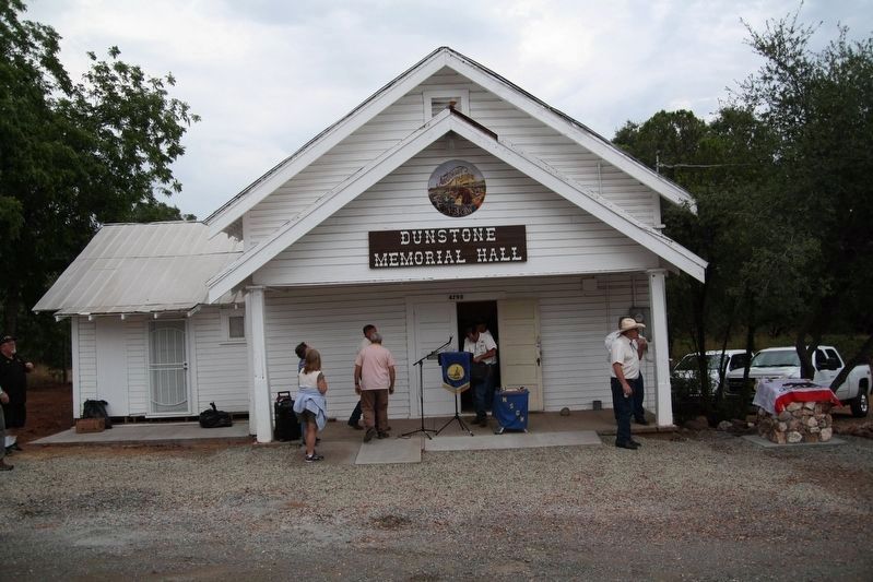
By James King, August 5, 2017
Dedication Day
GEOGRAPHIC SORT Title Sort Marker Number Sort Marker Number Sort N Marker Number Sort T Publication Order Sort Publication Order Sort A Erected Year Sort Most Viewed Sort Most Recent-Interest Sort Most Recently Changed Sort SEE FAQ #33 FOR DESCRIPTIONS
On Foothill Boulevard, 0.2 miles Dunstone Drive, on the right when traveling south.
On Scott Road, 2.3 miles south of California Route 70, on the left when traveling south.
On Main Street, on the left when traveling east.
Near Feather River Highway (Route 70), on the left when traveling west.
On Feather River Highway (Route 70), on the left when traveling west.
Near Feather River Highway, on the left when traveling east.
Near California Route 70.
On Chilcoot Avenue, 0.3 miles south of California Route 70, on the left when traveling west.
On Oroville-Bucks Lake Road.
On Oroville-Bucks Lake Road.
On Bucks Lake Road, on the right when traveling west.
On Jackson Street at Coburn Street on Jackson Street.
On Quincy Junction Road at Chandler Road, on the right when traveling north on Quincy Junction Road.
Near Bucks Lake Road (County Route 119) at Snake Lake Road, on the left when traveling east.
On California Route 70 at Cow Camp Road, on the right when traveling west on State Route 70.
Paid Advertisement
On D Street at 3rd Street, on the right when traveling south on D Street.
On N Virginia St at N Red Rock Rd, on the right when traveling west on N Virginia St.
On C Street west of Victorian Plaza Circle, on the right when traveling west.
On Tahoe Pyramid Bikeway, on the left when traveling east.
May. 4, 2024