When the River Road connected Selbysport and Friendsville, the original way into town was past the cemetery, across Bear Creek, at the cement arch bridge location; and down Walnut Street to Morris Avenue. The more daring could cross on foot, using . . . — — Map (db m134363) HM
Leslie Friend built the largest department store in the county in the 1890's where the First United Bank now stands. Leslie also helped charter and built the First National Bank of Friendsville in 1902, now the Friend Family Association Heritage . . . — — Map (db m134357) HM
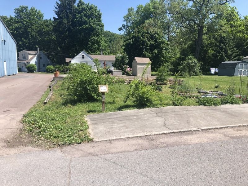
This area was an important gathering place for the townspeople. Early on it was an orchard and the farm of Gabriel Friend, whose cabin on the high ground was known as 'Look Sharp'. In 1830 Gabriel (son of John Friend Sr.) was appointed . . . — — Map (db m134364) HM
David 'Bud' Sheridan Custer had the Custer grocery store and furniture store built here by George Kolb in 1888. He served on the board of the Methodist Church in Friendsville and as superintendent of the Sunday School. In 1917 he became . . . — — Map (db m134369) HM
In 1891 the old log house that was used as the school (located in the vicinity of the Methodist Church on Water Street) became too small for the growing student population and the School Board purchased a 1/2 acre lot on Water Street from John T. . . . — — Map (db m134368) HM
Drawn by the rich forest timberlands of Garrett County, John W. McCullough arrived in the Friendsville area in the 1890's and figured prominently in the expansion of the town. He constructed several sawmills in the area and in 1894 built a 36 inch . . . — — Map (db m134372) HM
During the late 1800's, the junction of Morris Ave. and Maple St. is where people congregated most. The building now occupied by Precision Rafting was originally W.W. Savage's Furniture and Clothing Store. His father, Salathial Savage, was the . . . — — Map (db m134367) HM
In 1950, the Carnegie Museum of Pittsburgh investigated this site in a three-year survey of the entire Ohio River drainage system. In 1972, the Maryland Geographical Survey conducted excavations on the areas to be impacted by the construction of . . . — — Map (db m153154) HM
Charles Liston, the town constable, was behind the bar of the Collier Hotel (now the Riverside Hotel) when rowdy drifter Lupton Frantz came in looking for Mr. Collier. Constable Liston thought he was reaching for a gun, so he shot him. The . . . — — Map (db m153155) HM
In the mid-1700's, Neil Friend and his sons held land on the Virginia side of the Potomac River, where the North and South Branches join. A good location for trade with Indians but prone to flooding.
A decision was made to move on to the . . . — — Map (db m134371) HM
With the arrival of the train to Friendsville in 1889, the Yough Manor Lumber Co. extended the tracks upriver two miles to service a sawmill. A. Knabb and company had already set up a stave mill for barrels in 1891 and the town's name became Krug, . . . — — Map (db m134370) HM
The Confluence and Oakland Railroad (C&O) was completed between Confluence, PA and Friendsville. Upon completion, it was leased to the B&O Railroad for 99 years. In Confluence it connected with the B&O Baltimore, Pittsburgh and Chicago Railways. . . . — — Map (db m134353) HM
From the beginning of recorded time people have milled grain as an important part of their diet. Along Bear Creek and the Yough several mills operated in the 1800's, using water as the power source to turn the mill stones. As soon as the railroad . . . — — Map (db m134355) HM
As Friendsville branched out from the river, Walnut Street became the site of Frederick Fox's planing mill, then hardware store, the Post Office and a tin shop. Fred Fox was also a builder and many of the old buildings display his handiwork and were . . . — — Map (db m134362) HM
The land occupied by Wilderness Voyageurs was once the site of the livery stable for the Riverside Hotel. The house pictured above was the home of Captain Elijah Monroe Friend, grandson of Gabriel Friend, son of John Friend the first white . . . — — Map (db m153156) HM
Quincy Murphy built the Yough Motor Company in the early 1900's as a full service auto repair shop offering parts and painting. Quincy's sons Ralph and Robert worked in the business as mechanics in the business as mechanics and the whole family . . . — — Map (db m134354) HM