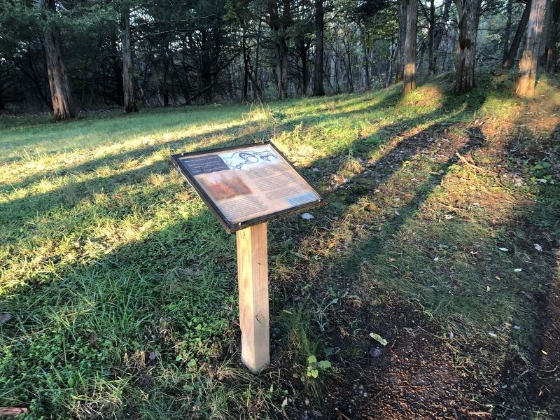
The defensive earthworks in front of you are the only preserved remnants of a mile-long chain of infantry trenches, rifle pits, and artillery emplacements that were built by the Union VI Corps, 2nd Division, following the battle of Cedar Creek . . . — — Map (db m159051) HM
You are standing approximately 45 feet above the Crystal Caverns Mine, a chamber that once produced calcite crystals, as well as saltpeter, the chief component, of black gunpowder. Early gunpowder works utilized a low-tech production method that . . . — — Map (db m159039) HM
Hupp Cave is one of two (known) wild Caves on Hupp's Hill. Unlike show caves such as Crystal Caverns which are open to the public, wild caves, of which there are thousands in the Shenandoah Valley alone, would often serve as snake . . . — — Map (db m159487) HM
Hupp's Hill
Mirroring the story of many Valley settlers, during the mid-1600s a German family surnamed Hupp disembarked in Philadelphia settling first in Pennsylvania's York and Lancaster Counties before migrating south along the Great Wagon . . . — — Map (db m159033) HM
As Keyhole Cave is situated along the trench line, it is likely that wiry soldiers slithered down into this wild cave, which contains human artifacts of indeterminate age (pictured below).
Bat specialists who surveyed Keyhole Cave in . . . — — Map (db m159493) HM
Crystal Caverns
You are standing approximately 60 feet above Crystal Caverns' Hall of Masonry, so named for calcite-filled fissures that resemble mortar. The fissures resulted from compression of limestone strata that occurred when the north . . . — — Map (db m159043) HM
Civil War troops could rapidly construct sophisticated earthworks, especially when they were targeted by vastly superior numbers of enemy forces. A well-designated earthwork could more readily absorb a projectile and was therefore more effective . . . — — Map (db m159489) HM
Massanutten Mountain
Directly ahead of you is Massanutten Mountain. Its highest point on the northern tip (Signal Knob) served as a strategic observation post and signal station for both sides during the Civil War. A war dispatch from . . . — — Map (db m159050) HM
1862
The town of Strasburg is directly ahead, at the bottom of the southern (reverse) slope of Hupp's Hill. The image to the right is a wartime view from 1862. Today's prominent water tower sits atop Fort Hill, the site of Banks' . . . — — Map (db m211938) HM
On 13 October 1864, Confederate probing actions triggered a "short but sharp" engagement with Federal troops headquartered at Cedar Creek, two miles north of this position. Six days later, Jubal Early re-engaged enemy forces, directing a . . . — — Map (db m159052) HM
Although the winter camp at Hupp's Hill was less extensive than the one pictured above, the layout was fairly typical. Two brigades of the Federal VI Corps, 2nd Division, began erecting small log huts, stables, quartermaster stores, divisional . . . — — Map (db m159491) HM