After filtering for Hawaii, 17 entries match your criteria.
Natural Features Topic
By Joseph Beeman, August 4, 2004
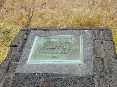
South Point complex Marker
GEOGRAPHIC SORT Title Sort Marker Number Sort Marker Number Sort N Marker Number Sort T Publication Order Sort Publication Order Sort A Erected Year Sort Most Viewed Sort Most Recent-Interest Sort Most Recently Changed Sort SEE FAQ #33 FOR DESCRIPTIONS
On South Point Road, 11 miles south of Mamalahoa Highway (Hawaii Route 11), on the left when traveling south.
On Chain of Craters Road (at milepost 6.4) near Hilina Pali Road, on the right when traveling south.
Near Chain of Craters Road near Hilina Pali Road.
On Chain of Craters Road near Hilina Pali Road.
Near Chain of Craters Road near Hilina Pali Road.
Near Chain of Craters Road near Hilina Pali Road.
Near Crater Rim Drive near Mauna Loa Road, on the left when traveling west.
Near Crater Rim Drive near Mauna Loa Road, on the left when traveling west.
On Daniel K. Inouye Highway (Saddle Road) (Route 200 at milepost 28) at Mauna Kea Access Road, on the right when traveling east on Daniel K. Inouye Highway (Saddle Road).
On Lawai Road south of the traffic circle on Poipu Road (Hawaii Route 520), on the left when traveling west.
Near Ainako Street south of Poipu Road, on the right when traveling south.
On Ala Kinolike Highway north of Poipu Road, on the right when traveling north.
Paid Advertisement
Near Iao Valley Road (Hawaii Route 32) when traveling west.
May. 5, 2024