After filtering for New York, Erie County, 18 entries match your criteria.
Abolition & Underground RR Topic
By Anton Schwarzmueller, April 7, 2019
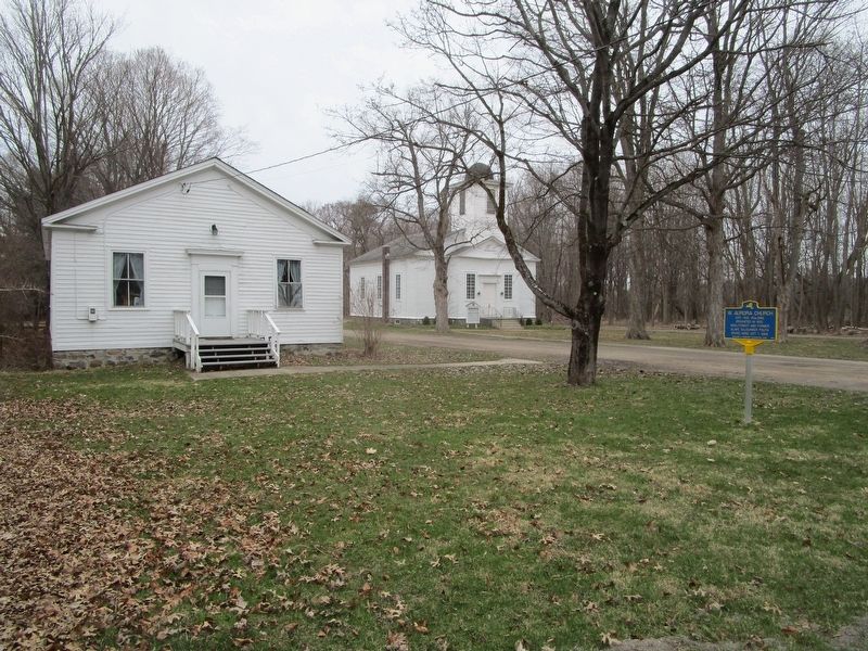
Church, Meeting Hall & Marker
| On Mill Road at West Falls Road, on the right when traveling west on Mill Road. |
| On Robert Rich Way, 0.1 miles south of Ferry Street Bridge, on the right when traveling south. |
| On Robert Rich Way, 0.1 miles south of Ferry Street Bridge, on the right when traveling south. |
| On Robert Rich Way, 0.1 miles south of Ferry Street Bridge, on the right when traveling south. |
| Near Robert Rich Way west of Niagara Street, on the left when traveling north. |
| On Robert Rich Way at Ferry Street Bridge, on the right when traveling south on Robert Rich Way. |
| Near Niagara Square at Court Street, in the median. |
| On Michigan Avenue south of Broadway, on the right when traveling north. |
| On Michigan Avenue south of Broadway, on the right when traveling north. |
| On Michigan Avenue south of Broadway, on the right when traveling north. |
| On Pine Street, 0.1 miles south of South Division Street, on the left when traveling south. |
| On Marine Drive at Commercial Street, on the left when traveling west on Marine Drive. |
| Near Marine Drive at Pearl Street. |
| On Michigan Avenue at Arsenal Place, on the right when traveling north on Michigan Avenue. |
| On Como Park Boulevard at Park Street, on the right when traveling east on Como Park Boulevard. |
| On Como Park Boulevard at Indian Road, on the right when traveling west on Como Park Boulevard. |
| On South Main Street (U.S. 62) at Florence Avenue, on the left when traveling south on South Main Street. |
| On East Quaker Road (U.S. 20A) at Baker Road, on the left when traveling east on East Quaker Road. |
May. 19, 2024