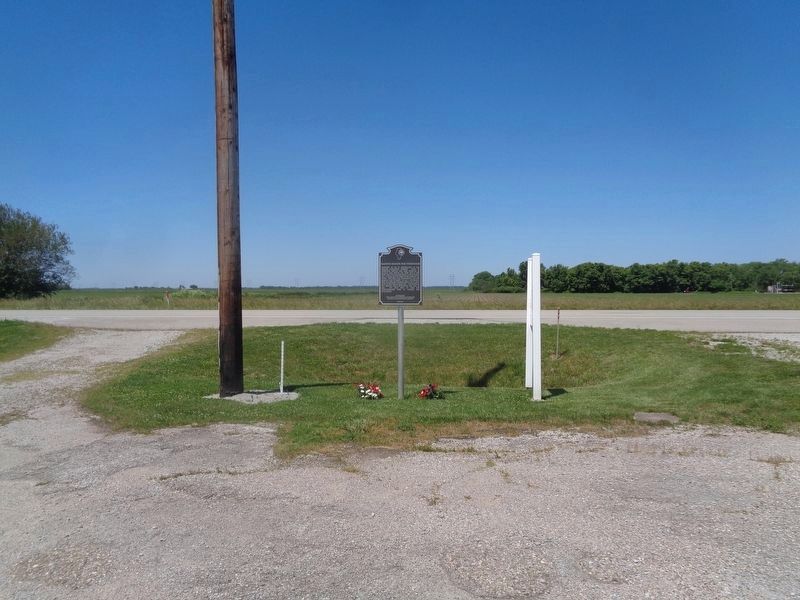
Discovery of oil in Pennsylvania in 1859 created nationwide interest. Signs of petroleum
seepage had been observed in Illinois long before 1865 when one of the first wells was drilled
about ½ mile north and ¼ mile east of here on the farm of T R . . . — — Map (db m248173) HM
For more than fifty years Westfield College was located on this site. It was founded as a seminary in 1861 by the United Brethren in Christ and incorporated as a college in 1865. The school was coeducational from the beginning and in some years . . . — — Map (db m184588) HM
Darwin was the Clark County seat from 1823 to 1838. The County Courthouse was one block south from 1819 to 1823. The county seat was Aurora, once located two miles north. Two blocks east was the Darwin Steamboat Landing on the Wabash River. The . . . — — Map (db m152464) HM
This Bridge was completed by Army Engineers sometime between 1834 and 1837 as part of the Old National Road, between Cumberland, Maryland and Vandalia, Illinois, was authorized by the enabling act of 1803 and was the Nation's first federally . . . — — Map (db m71127) HM
On this site stood Margaretta Post Office, which served many northwestern communities of Clark County from 1840 to 1861. It was named for Margaret, wife of the postmaster, William B. Marrs. Mail was carried to the post office first in saddlebags by . . . — — Map (db m184585) HM
The Mormons, Clark County's first loggers, came in 1844 and established camps between Wedge's Creek and Greenwood to cut timber for their Illinois city of Nauvoo. After the murder of their leader Joseph Smith at Carthage, Illinois in mid-1844, the . . . — — Map (db m103977) HM
Paris lies in the heart of a rich farming area. Most of the land embraced in Edgar County, including Paris, remained Kickapoo hunting grounds until 1819, but the eastern quarter of the county was part of a tract ceded by the Indians in 1809 and . . . — — Map (db m188363) HM
With the opening of the National Road through this area, small communities began to the established along the route, one of which was Casey. The first settler was John Lang, a native of Scotland. Lang and family arrived from Ohio in 1838 and bought . . . — — Map (db m152488) HM
With the completion of the National Road (Cumberland Road) through Clark County in 1834, a settlement known as Cumberland was established in this vicinity. The settlement consisted mainly of workmen who moved here for the purpose of securing . . . — — Map (db m188290) HM
Jeffersonville is named for President Thomas Jefferson, who had a profound influence on the city. As a Virginia legislator, Jefferson was a strong supporter of General George Rogers Clark's Illinois campaign from 1778 to 1779, which resulted in the . . . — — Map (db m241638) HM
In the early 1860s, the prospect of war divided Missouri. Many of Missouri's settlers came from Southern states. Some owned enslaved people and many held strong views favoring slavery or "Southern rights." Despite this, a statewide convention held . . . — — Map (db m149943) HM
Built at the intersection of Illinois' first state road and America's first federal highway, Marshall was a gateway community for immigrants traveling west. It was founded in 1835 by Illinois Gov. Joseph Duncan and Col. William B. Archer. . . . — — Map (db m152562) HM
Imagine you're traveling the National Road in the late 1800s. Your wagon is one of many trundling toward town. The dirt road is rough and the ride uncomfortable, but you welcome the trip. It's a day to visit with friends, catch up on news, and trade . . . — — Map (db m152560) HM
Prevos as we knew it started as the Model Store in 1900 as a men’s haberdashery located at 12 E. Washington St., Greencastle, Ind. Owned by Samuel C. Prevo. From his second marriage to Emily Hogue from Clark County Illinois they had three . . . — — Map (db m56410) HM
The breaking of the lines at Petersburg sparked major events that followed in quick succession - the evacuation and capture of Richmond, the pursuit to Appomattox, the surrender of Lee's Army, and the assassination of Abraham Lincoln. This . . . — — Map (db m285353) HM
The Linn Family
The ancestors of the Linn Family immigrated from Ireland in 1809. They eventually settled in Parker Township in Clark County Illinois, near Westfield in 1864. Walter Linn and his family moved to Martinsville in the late . . . — — Map (db m242006) HM
Fort Handy, built in 1816, was located 1200 feet southeast of this park on a knoll. The fort, the only structure of its kind in Clark County, was built by the family of Thomas Handy and contained three cabins and a well surrounded by a bulletproof . . . — — Map (db m152478) HM
You are standing at the very spot where John Keifer built a cabin that was more than just a home.
This home, built by John around 1824, was a witness to the lives of pioneers and the changing landscape of early America and Clark County. . . . — — Map (db m299514) HM
Thin black lines indicate changes in relevance. Between each pair of lines entries are ordered geographically but all have the same relevance.
* Inflectional forms of words are their plurals, singulars, and possessives as well as gramatical tenses and similar variations.