THE HISTORICAL
MARKER DATABASE
“Bite-Size Bits of Local, National, and Global History”


13 entries match your criteria.  


Entries Containing All of the Phrases «mcdowell county» AND «north carolina»

This list will also include matches for inflectional* forms of the words.
 
By Mark Parker, August 29, 2025
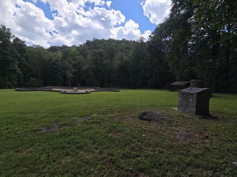
McDowell County Marker looking towards Andrew's Geyser
RANKED BY RELEVANCE
1 ► North Carolina, McDowell County, Old Fort — McDowell County — 1861-1865 —
When called upon to defend their homeland and firesides, men and boys from McDowell County answered the call by the hundreds. From the first musket shot fired at Big Bethel to the last shots fired at Appomattox, men from McDowell County were . . . — — Map (db m284201) WM

2 ► North Carolina, McDowell County, Old Fort — The First U.S. Forest Service Tract — Blue Ridge Parkway —
The 8000-acre Curtis Creek tract before you was the first parcel of land acquired under the Weeks Act. This act was signed by President Taft in 1911 and authorized buying parcels of land that would become eastern National Forests. This tract also . . . — — Map (db m183160) HM

3 ► North Carolina, McDowell County, Old Fort — The Mountain Gateway Museum & Heritage Center —
The Mountain Gateway Museum and Heritage Center is dedicated to bringing life to the wonderful history of the “Old North State”. The museum, open year round, focuses on history from the pioneer era through the early 20th century. A variety of . . . — — Map (db m211004) HM
4 ► North Carolina, Rutherford County, Rutherfordton — Green River Plantation — Unwelcome Guests — Stoneman's Raid — Reported missing
On March 24, 1865, Union Gen. George Stoneman led 6,000 cavalrymen from Tennessee into southwestern Virginia and western North Carolina to disrupt the Confederate supply line by destroying sections of the Virginia and Tennessee Railroad, . . . — — Map (db m266614) HM

5 ► North Carolina, Mitchell County, Spruce Pine — "The Blackwater Men Had Come Over the Mountain" —
Rededicated on September 29th, 1980 to commemorate the 200th anniversary of the heroic march of the "Over the Mountain Men." When American independence looked hopeless a citizen army marched thru this mountain gap to challenge British . . . — — Map (db m138466) HM WM
6 ► North Carolina, Mitchell County, Spruce Pine — Gillespie Gap —
On Friday, September 29, 1780, a large part of the American Army passed this spot, under command of Colonels William Campbell, Isaac Shelby and John Sevier. On their march to the battle of King's Mountain, where the British and Tory forces, . . . — — Map (db m138478) HM WM

7 ► North Carolina, Halifax County, Halifax — The Charters of Freedom —
The original Charters of Freedom are on display in The Rotunda at the National Archives in Washington, D.C. The Declaration of Independence was adopted July 4, 1776. The United States Constitution was adopted September . . . — — Map (db m290872) HM
8 ► North Carolina, McDowell County, Marion — The Charters of Freedom —
The original Charters of Freedom are on display in The Rotunda at the National Archives in Washington, D.C. The Declaration of Independence was adopted July 4, 1776. The United States Constitution was adopted September . . . — — Map (db m268520) HM
Paid Advertisement

9 ► North Carolina, Catawba County, Hickory — Annie McDowell Ervin House — 1920 —
Kenworth Historic District National Register of Historic Places — — Map (db m258901) HM
10 ► North Carolina, McDowell County, Marion — Lone Beech —
circa 1905 has been placed on the National Register of Historic Places by the United States Department of the Interior — — Map (db m240436) HM

11 ► North Carolina, Buncombe County, Ridgecrest — N-32 — Swannanoa Gap —
Used by Indians and pioneers in crossing Blue Ridge. General Rutherford's expedition against Cherokee passed here, September, 1776. — — Map (db m57036) HM
12 ► North Carolina, Polk County, Columbus — Polk County Courthouse —
This property has been Placed on the National Register of Historic Places by the United States Department of the Interior — — Map (db m266620) HM

13 ► North Carolina, Buncombe County, Asheville, Five Points — P-22 — Locke Craig — 1860 - 1924 —
Governor, 1913-1917. He created the state highway & fisheries commissions, est. Mt. Mitchell State Park. Lived ½ mi. W. — — Map (db m57111) HM
 
    Thin black lines indicate changes in relevance. Between each pair of lines entries are ordered geographically but all have the same relevance.
* Inflectional forms of words are their plurals, singulars, and possessives as well as gramatical tenses and similar variations.
 
CeraNet Cloud Computing sponsors the Historical Marker Database.
This website earns income from purchases you make after using our links to Amazon.com. We appreciate your support.
Paid Advertisement
Nov. 12, 2026
