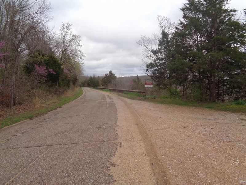
Established in 1870 and named after a bad bend in the Big Piney River, this "devil of an elbow" was made famous by historic Route 66. — — Map (db m170623) HM
Fort Leonard Wood
[Major General Leonard Wood]
[Drill Instructor and Recruit]
[The Spirit of Pulaski County P-51]
[Armed Service Service Caps]
[Fallen Soldier Memorial] — — Map (db m157293) WM
In November 2013, an opportunity for development arose during the "The Road Ahead" Strategic Roundtable hosted by the World Monument Fund in Anaheim, CA. Jim Thole, a guest speaker from the Neon Heritage Preservation Committee of the Route 66 . . . — — Map (db m311740) HM
"Jeremiah Vardeman was a distinguished minister somewhat rare in the annals of the church. He possessed the peculiar talent of bringing the leading truths of the gospel home to the consciences of his hearers his illustrations were singularly . . . — — Map (db m244374) HM
Colleyville is named for Dr. Lilburn Howard Colley. Dr. Colley was a beloved country doctor who served the medical needs of this area for a number of years. He was also active in various school and civic foundations.
Dr. Colley was born . . . — — Map (db m228187) HM
George Marcellus Reed (1855-1938), a man of many talents, served Pulaski County in numerous ways. Beginning in his 20s, he taught at schools in Hancock, Dixon, and Waynesville over a period of 30 years while also giving violin lessons. In 1882, . . . — — Map (db m311735) HM
Here in Missouri's central Ozarks, Pulaski County was organized 1833, and named for Revolutionary War general, Polish Count Casimir Pulaski. Once roamed by Indians and French trappers, the county is part of land ceded by the Osage . . . — — Map (db m55638) HM