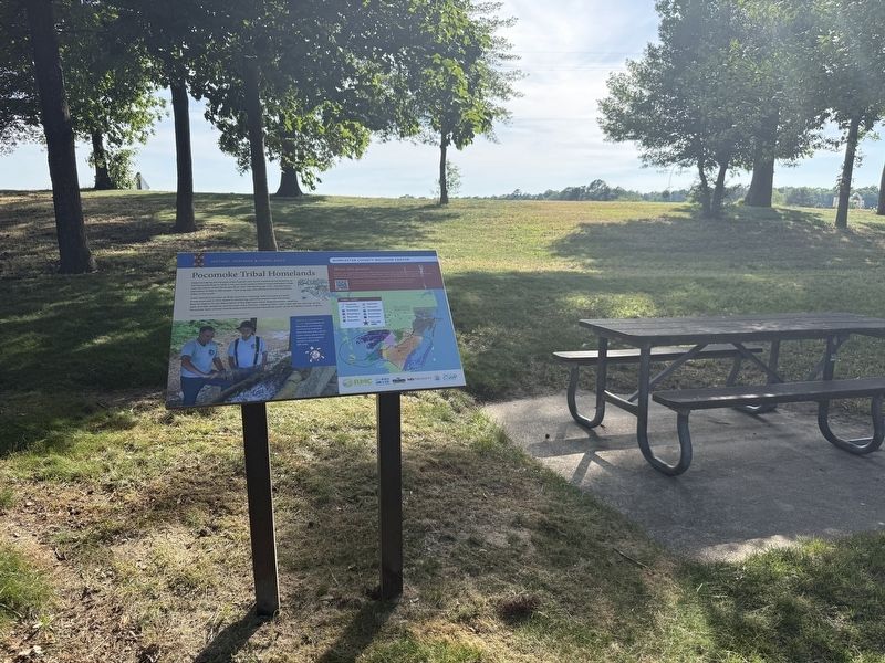
Near Ocean Highway (U.S. 13) north of Marva Road, on the right when traveling north.
State boundaries did not exist when Captain John Smith traveled some distance up the Pocomoke River in 1608. In his journal he noted a Native king’s palisaded village near the mouth of the Pocomoke River with 100 fighting age men, representing a . . . — — Map (db m301927) HM
On Somerset Avenue (Maryland Route 675) at Washington Street, on the right when traveling north on Somerset Avenue.
This southeast corner of Somerset Avenue, originally Bridge Street, and Washington Street, first named Upper Alley has been enhanced by this private boxwood garden since the first half of the 19th century. Long-standing tradition in Princess Anne . . . — — Map (db m3878) HM
Located in Princess Anne, Somerset County, the University of Maryland Eastern Shore celebrates a rich African-American history. This historically black, land-granted doctoral degree granting institution was founded on September 13, 1886 as the . . . — — Map (db m66563) HM
Near West Memorial Boulevard at South Potomac Street.
William Preston Lane was elected Maryland's attorney general in 1930. When local officials did not act, he personally supervised the investigation of a lynch mob in Somerset county. Although prosecution was
unsuccessful, it was the last lynching . . . — — Map (db m107093) HM
1000 acres surveyed 1665 for
Col. William Stevens,
member of Governor's Council,
through whose influence
Francis Makemie
came to Maryland and established
Presbyterianism in the State. On this
same tract stood the Episcopal . . . — — Map (db m3883) HM
On St. Mark’s Church Road at Beacon Point Drive, on the right when traveling west on St. Mark’s Church Road.
To present log wing, believed built in 1735, George Gale added fieldstone section c. 1781. Further additions to house were made in 19th century. Gale, born in Somerset County in 1756, served in Continental Army during Revolutionary War. Was member . . . — — Map (db m127921) HM
By an act of Maryland’s General Assembly, 25 acres of the Beckford Plantation were purchased to establish Princess Anne, named for the daughter of King George II. The town was designated as the seat of Somerset County Court in 1742 and became an . . . — — Map (db m66568) HM
On Capitola Road at Whitehaven Road ( Route 352), on the right when traveling east on Capitola Road.
Ferry operated here as early as 1692. Settlers were led by Col. George Gale of Whitehaven in the North of England. His first wife, Mildred Warner Washington who by previous marriage was George Washington's grandmother, lived nearby before her . . . — — Map (db m263452) HM
Near Ocean Highway (U.S. 13) north of Marva Road, on the right when traveling north.
The tribal homelands include Somerset County MD portions of Worcester County MD and portions of Accomack County VA. Their influence extends into Wicomico County MD and Sussex County DE. The Pocomoke tribal paramountcy includes Pocomoke, Annemessex, . . . — — Map (db m301926) HM
On Plantation Lane 0.4 miles south of Pemberton Drive, on the left when traveling east.
Pemberton Hall has a story to tell. Although important, that story is far wider and richer than the story of the preservation and restoration of a regional and local historical treasure. It is the far richer and wider story of the settlement of . . . — — Map (db m258474) HM
Near Bowtie Drive north of Artillery Road, on the right when traveling north.
Among the troops defending this ridgeline during the battle were the 1st Maryland Infantry Regiment (Confederate) and the Baltimore Light Artillery, both positioned on the western end of the Confederate line, about 600 yards to your right. During . . . — — Map (db m275695) HM
Near Main Street east of 8th Street, on the left when traveling east.
■ When the Baltimore & Ohio Railroad came through the Casselman River valley in 1871, Meyersdale already was a prosperous town. Founded by German settlers in the late 1700s, Meyers Mill became Meyersdale in 1874 and was an important . . . — — Map (db m202262) HM
On Rockdale Road at Markleton School Road, on the right when traveling south on Rockdale Road.
Maynard R. Sembower watched the construction of the Western Maryland Railway, rode it as a child and an adult, saw it through its final days of passenger and freight traffic and was delighted to see its right-of-way reborn as a rail-trail. . . . — — Map (db m229702) HM
On Coventry Parish Road at Old Rehobeth Road, on the right when traveling east on Coventry Parish Road.
Erected 1784 - 1792
Placed on the National Register of Historic Places 9 August 1984
Ruins stabilized 1985 - 1990 under the auspices of
Rehobeth Ruritan Club
Maryland Historical Trust
Somerset County Historical Trust
B. J. . . . — — Map (db m3881) HM
The Connellsville Extension from Cumberland Financier George Gould purchased the Western Maryland as part of a transcontinental railroad scheme that would stretch from Baltimore to San Francisco. Gould extended the WM west to Cumberland, but . . . — — Map (db m4688) HM
Thin black lines indicate changes in relevance. Between each pair of lines entries are ordered geographically but all have the same relevance.
* Inflectional forms of words are their plurals, singulars, and possessives as well as gramatical tenses and similar variations.