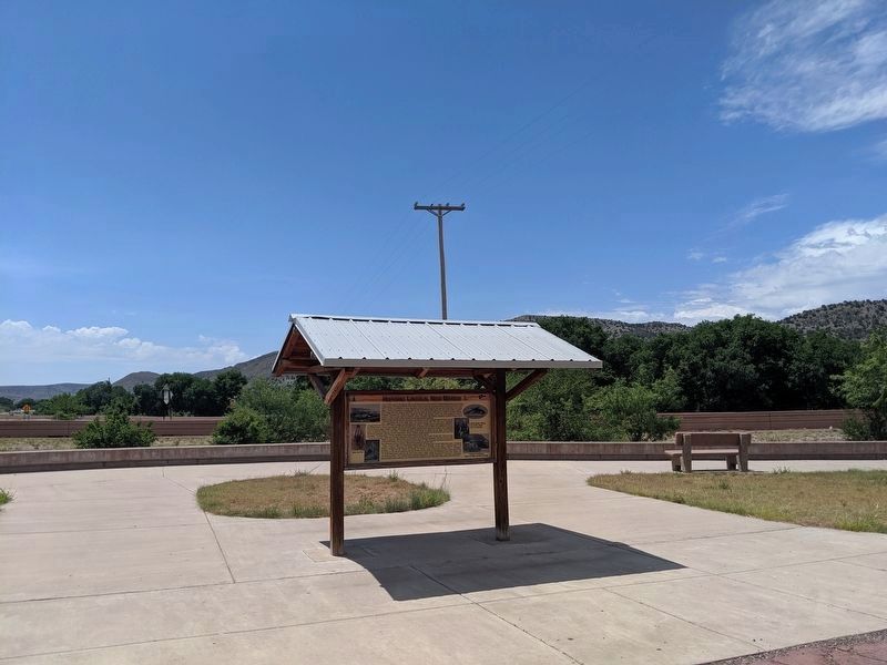
Just 10 miles west on US Highway 380 you will discover one of New Mexico’s hidden treasures, the town of Lincoln. Tucked away in the beautiful Bonito River Valley, Lincoln has barely changed since the Lincoln County War (1878-1881). Lincoln is . . . — — Map (db m79141) HM
Pat Garrett and Billy the Kid
As sheriff of Lincoln County, Pat Garrett was charged with tracking down and arresting Billy the Kid, a friend from Garrett's saloon keeping days in Fort Sumner, New Mexico. He was captured in December 1880 . . . — — Map (db m83262) HM
One of the most colorful incidents in the violent history of the American West during the late 1800s, the Lincoln County War in New Mexico involved a Boaz man named Richard M. Brewer. Born February 19, 1850, "Dick" Brewer came to Richland County . . . — — Map (db m43541) HM
The notorious New Mexico outlaw, also known as William Bonney, was captured and sucessfully imprisoned for the last time in the downstairs jail housed in this, the Cornell Building, at 208 W. San Francisco St., Santa Fe, from December 27, 1880 to . . . — — Map (db m73714) HM
In one of the Lincoln County War’s earliest violent encounters, John H. Tunstall was shot and killed at a nearby site on February 18, 1878. Tunstall’s death set off a series of violent reprisals between his friends, among whom was William . . . — — Map (db m46009) HM
This is a two-sided markerSide A:
Spanish-speaking settlers established a town here in the 1850s, after the U.S. Army began to control the Mescalero Apaches. First known as Las Placitas del Río Bonito, the name of the community . . . — — Map (db m119774) HM
Built in 1874, as place of business and residence of L.G. Murphy & Co., a dominant factor in area in 1870's, and headquarters of the Murphy faction during Lincoln County War. Firm failed, and store became county gov't and judicial center for 33 . . . — — Map (db m119775) HM
This structure is the oldest steel highway bridge in New Mexico, built in 1902 by Chaves County as part of the three-span Pecos River Bridge east of Roswell. There it connected the growing town with the smaller communities and ranches of the . . . — — Map (db m89690) HM
Cattle baron whose herds, moving from east to west Texas and into New Mexico, expanded into one of the greatest cattle spreads in the west. Coming from Tennessee to Paris, 1837, Chisum joined S. K. Fowler in a cattle venture in Denton County, . . . — — Map (db m201835) HM
South some 75 yds. was the lone adobe house of J.B. Wilson, noted J.P. in Lincoln Co. War. At night, Mar 17, 1879 he helped Gov. Lew Wallace meet with Bill Bonney, leader of remaining McSween men, and arranged a surrender under promise of protection. — — Map (db m45969) HM
Before homesteaders began farming the plains, before barbed wire sliced the prairies into neat squares, and before windmills spiked the horizon, huge open-range ranching operations controlled thousands of square miles of grasslands. Enormous herds . . . — — Map (db m280698) HM
Roswell’s first general store and post office stood near this spot. The building was constructed by Van C. Smith in 1870 and hosted a somewhat famous postmaster, Ash Upton, who was a political player in the Lincoln County War and the ghost writer . . . — — Map (db m102896) HM
He was known by many names, William Henry McCarthy, William H. Bonney, but he was best known as "Billy the Kid." Born in New York City in 1859, he would find infamy in the old west as a hired gun, outlaw and other wise stone-cold killer. His mother . . . — — Map (db m269527) HM
• Billy the Kids tombstone was stolen in 1951. Its location was a mystery for twenty-six years until 1976 when it was recovered in Granbury, Texas, by Joe Bowlin.
• The tombstone was stolen again on Feb. 8, 1981 and recovered four days later . . . — — Map (db m269530) HM
It is said that... While drunk one night, Grant had the misfortune of getting on the wrong side of "Billy the Kid" at Beaver Smith's saloon in Ft. Sumner, NM. After a heated discussion, Grant bet Billy $25 that he would kill a man first. Billy . . . — — Map (db m269524) HM
On this site, famed New Mexico lawman Patrick Floyd Garrett met his death on February 29, 1908, while traveling to Las Croces from his home just east of San Augustin Pass. Garrett is known worldwide for killing Bille the Kid. Garrett was formerly . . . — — Map (db m314423) HM
The Trail Boss monument features six brands, two on each of the Longhorns and two more on the horse. Every rancher owns a distinctive brand, with the location of the brand on the livestock being part of the brand's unique character. The brands . . . — — Map (db m254703) HM
Sallie was 19 when she arrived from Texas at her Uncle John Chisum’s Jinglebob Land and Livestock Company ranch south of Roswell. Her ranching skills rivaled those of the cowboys she joined driving cattle up her uncle’s Goodnight-Loving Trail to . . . — — Map (db m235270) HM
[Top]
has been placed on the
National Register
of Historic Places
by the United States
Department of the Interior
1908
[Bottom]
Sallie Chisum Robert House
Built of cast-stone, this house was erected in . . . — — Map (db m235341) HM
The series of hills immediately to the northeast are the Godfrey Hills. The mountains beyond are part of the Lincoln National Forests White Mountain Wilderness. It provides opportunities for camping, hiking, and backpacking in cool pinyon, juniper, . . . — — Map (db m251042) HM
On this site during the Civil War and later, grazed by tens of thousands the Longhorns of cattle baron John S. Chisum. Ranch headquarters were 10 miles east. Here in 1863-1865, Chisum not only ranched but also was buyer of cattle to feed Confederate . . . — — Map (db m82187) HM
William "Billy the Kid" Bonney Grave 1859-1881
Henry McCarty is better known by his alias, William "Billy the Kid" Bonney. His family moved to the New Mexico territory in 1873. Bonney was charged with numerous thefts and involved in nine . . . — — Map (db m270111) HM
A New Community
Following the disastrous failure of the U.S. Government's Bosque Redondo experiment, the land set aside as reservation returned to the public domain. The Army sold the fort buildings and other improvements to the famous . . . — — Map (db m269514) HM
After skirmishing on July 8 with Confederates west of Frederick, MD, Maj. Gen. Lew Wallace’s 5,800 Union troops—many of them “raw and untried”—took a stand at the Monocacy River. Wallace carefully chose this critical intersection of the river, . . . — — Map (db m3247) HM
John S. Chisum, a western icon, is generally recognized as the early West's most prominent cattleman.
In the mid-1870s, Chisum was the largest cattle producer in the nation, with as many as 80,000 longhorn steers in his herd. Beginning as a . . . — — Map (db m73451) HM
In the frontier west, Pat Garrett has to be considered as one of the most famous and effective of legendary law officers. Six feet, five inches tall, he was an imposing and implacable foe of western criminals. An honest and honorable lawman, . . . — — Map (db m73452) HM
In many American small towns, the railroad depot was the portal to the rest of the world. More than any other public building, the depot touched the lives of all people in the town. Everything important to the existence of the town came and went . . . — — Map (db m77890) HM
Section 1 Top Tablet United States Army The Chief of Staff October 27, 2000 The Junction City - Fort Riley Community and the Buffalo Soldiers I would like to take this opportunity to congratulate the Junction City-Fort Riley community . . . — — Map (db m44250) HM
Dedicated
to the
Spirit of the Pioneer Woman
Sculptor: Robert Summers
Foundry: Eagle Bronze
First Lady of Artesia is approximately 12 feet tall and 6 feet in diameter. The artist designed Sallie Chisum from several photographs . . . — — Map (db m73436) HM
On the site located 100 yards west of this sign resided the L.G. Murphy Sutler Store (the post trader). Begun in 1866 by Lawrence G. Murphy and Emil Fritz (both former Dragoons stationed at Fort Stanton), it was a large, rambling, adobe structure . . . — — Map (db m123794) HM
Panel 1
Arriba
In frontier Arriba (locally pronounced "AIR-uh-buh"), the only thing
more scarce than water was whiskey. Charles Creel, who founded
the town in 1888 to greet the advancing Chicago, Rock Island &
Pacific . . . — — Map (db m89381) HM
James Gang members Dick Liddell and
Robert Ford, who was convicted and
pardoned for shooting Jesse James in
the back, opened the Bank Saloon here. — — Map (db m236669) HM
Thin black lines indicate changes in relevance. Between each pair of lines entries are ordered geographically but all have the same relevance.
* Inflectional forms of words are their plurals, singulars, and possessives as well as gramatical tenses and similar variations.