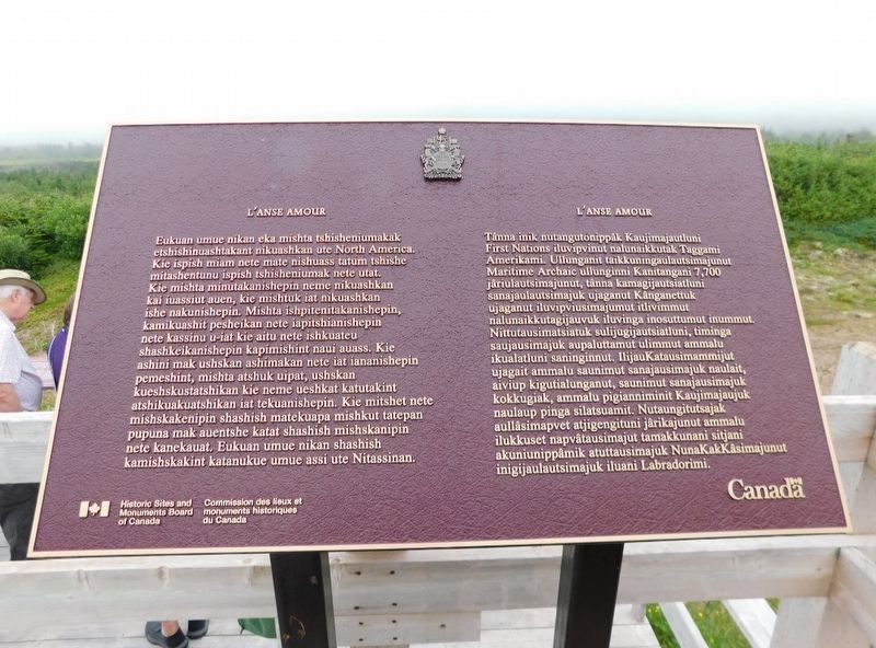
This is the site of the oldest known First
Nations funerary monument in North
America. Dating to the Maritime Archaic
period about 7,700 years ago, the carefully
built mound of rocks over a stone burial
box marked the grave of a young . . . — — Map (db m289807) HM
English:
This mound of rocks is the earliest known funeral monument in the new world and marks the burial place of an Indian child who died about 7500 years ago. The Maritime Archaic people, to whom the child belonged, occupied this area . . . — — Map (db m79551) HM
The concrete foundations near the beach are the remains of a huge diaphone - a fog signal which produces a blast of two distinct tones. When it was installed (in) 1906 the diaphone was the latest in technology. It was operated by compressed air and . . . — — Map (db m79554) HM
The concret ruins which you see here are the remains of the Marconi Wireless Telegraph Station that was built in 1904. Originally constructed for the benefit of trans-Atlantic shipping, the telegraph station became the first major communication link . . . — — Map (db m79552) HM
Tracey has been home to several generations of the Moores Family since the mid-1800s.
This monument marks the location of Ellis & Lillian Moores’s family house. — — Map (db m79543) HM
English:
In the 16th century, the Labrador side of the Strait of Belle Isle emerged as the world's largest producer of whale oil. At its peak, whaling on this coast attracted nearly 2000 Basques annually from Spain and France, and Red Bay . . . — — Map (db m79527) HM
These are critically endangered microbial structures. Thrombolites-building micro-organisms resemble the earliest form of life on Earth. These organisms were the only known form of life from 3.5 billion to 650 million years ago. These are some of . . . — — Map (db m79656) HM
English:
In 2000, the global stratotype for the boundary between the Cambrian and Ordovician systems was designated here at Green Point by the International Commission of Stratigraphy. It is located within a bed of shale and . . . — — Map (db m79654) HM
English:
Discovered in 1960, this is the first authenticated Norse site found in North America and could be Leif Ericsson's short-lived Vinland camp. Some time about AD 1000 Norse seafarers established a base here from which they . . . — — Map (db m79611) HM
English:
Following clues in the ancient Icelandic sagas, and the writings of Viking scholars and enthusiasts, Norwegian writer and explorer Helge Ingstad arrived at L’Anse aux Meadows in 1960. When he asked whether there were any unusual . . . — — Map (db m79650) HM
In 1912, a light was established at the south entrance of St. Anthony Harbour replacing the original harbour light placed there in 1906.
The white occulting light was installed in a cast-iron light tower. It exhibited 20.5 meters (67 feet) above . . . — — Map (db m79667) HM
English:
Born in England and trained in medicine, Grenfell gave 50 years of service to the people of northern Newfoundland and Labrador, and became a legend in his own time. He and those he inspired brought medical, spiritual and . . . — — Map (db m79610) HM
St. Anthony Haven
By tradition St. Anthony harbour was named by French explorer Jacque Cartier in 1534. Indeed, it is probable that the long, deep and sheltered harbour was already well-known to fishermen of the French province . . . — — Map (db m79668) HM