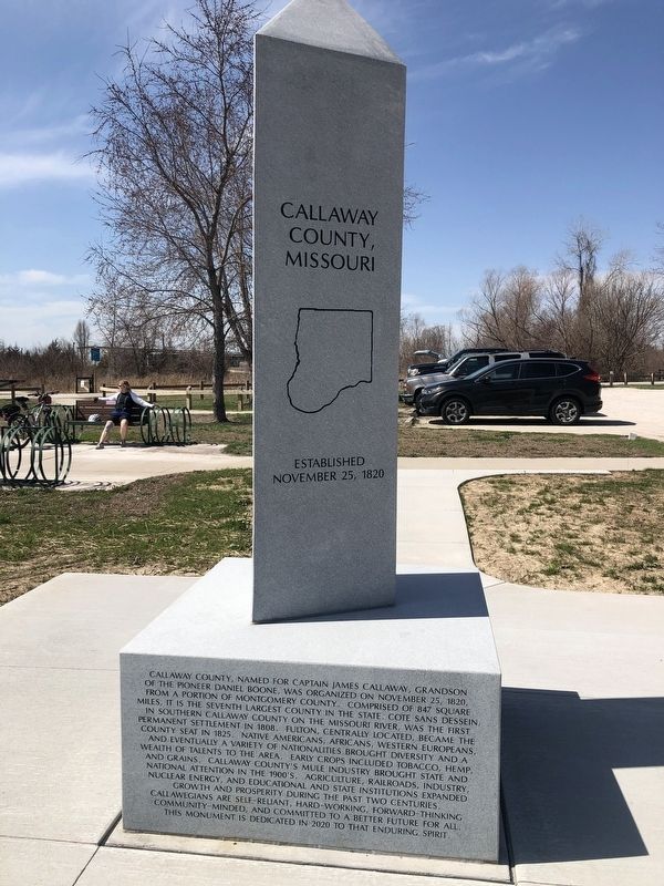
On Katy Road (County Road 391) 0.6 miles north of Oilwell Road, on the right when traveling north.
Cole County, Missouri
Established November 16, 1820
Dedicated in this bicentennial year to those who have given life to Cole County, from the generations of Ancient Ones before the settlers of European and African lineage who formed our . . . — — Map (db m169397) HM
On West Singleton Street at South Allen Street, on the right when traveling east on West Singleton Street.
A violent encounter between Southern partisan cavalry and Union forces occurred in and near Centralia on September 27, 1864. The Southern forces were irregular Confederate partisan rangers under the overall command of William "Bloody Bill” . . . — — Map (db m116878) HM
Near Providence Road (Missouri Route 163) south of Green Meadows Road, on the right when traveling south. Reported permanently removed.
Jewell Cemetery is located on what was originally the farm of George Jewell. George, his wife, and their children first moved from Virginia to Kentucky, then Franklin, Missouri, and finally Columbia in 1822.
George, his son William, and . . . — — Map (db m59646) HM
Near Perche Avenue (Missouri Route K) east of Katy Street, on the left when traveling east.
1800........
Nashville Born, Destroyed …
McBaine's history begins with Nashville, five miles downriver.
Ira Nash received a Spanish land grant in 1800, before the
United States owned the Louisiana Territory. Nash, a Virginian
and one . . . — — Map (db m252679) HM
On State Highway JJ 0.6 miles south of State Highway Z, on the right when traveling north.
The July 28, 1862, Battle of Moore's Mill opened about one-eighth mile south along the Moore's Mill-Galbreath Mill road, near today's State Road JJ. This area then was heavily timbered.
Lying in ambush east of the road were about 260 . . . — — Map (db m207957) HM
On South 4th Street at Cherry Street, on the right when traveling south on South 4th Street.
The first settlers of present-day Boone County, Missouri were American Indians who arrived more than 11,000 years ago. Their descendants slowly evolved culturally, settling in communities where they engaged in agriculture and developed pottery. . . . — — Map (db m169425) HM
Near Perche Avenue (Missouri Route K) east of Katy Street, on the left when traveling east.
The Plank Road linking Columbia
to a river port at Providence reached its
peak of success when it opened in 1856.
By the next year, the road was a disaster.
River towns like Glasgow, Boonville
and Rocheport had boat landings, . . . — — Map (db m252674) HM
On Bollinger Mill Road just south of State Highway HH, on the left when traveling south.
In Missouri, the covered bridge was first used in the 1850s when roads, railroads and overland transportation in general became a practical and important mode of travel. The first covered bridge in the state was built in 1851 in Boone County . . . — — Map (db m307496) HM
First Professor of Geology, Chemistry, Agriculture, and First Dean of
The College of Agriculture
University of Missouri.
First State Geologist of Missouri. — — Map (db m59459) HM
On Katy Trail north of Highway 94, on the left when traveling south.
Daniel Boone was legendary while he was alive, thanks to his exploits in leading American settlers to Kentucky and both fighting and befriending American Indians. Outwardly simple—an accomplished hunter and woodsman, conspicuously brave yet . . . — — Map (db m132894) HM
On Tanner Street (Kentucky Route 0) at 3rd Street, on the right when traveling south on Tanner Street.
First settlement in Boone County. Rev. John Tanner built blockhouse, and town began on 2000 acres he and John Taylor owned. Shawnees captured Tanner’s 9-year-old son here, held him until grown. An ardent Baptist, Tanner preached in Carolinas, . . . — — Map (db m79310) HM
In Missouri, the covered bridge was first used in the 1850s when roads, railroads and overland transportation in general became a practical and important mode of travel. The first covered bridge in the state was built in 1851 in Boone County over . . . — — Map (db m211580) HM
Near Ponderosa Street south of East Nifong Boulevard.
The Easley country store was a fixture in southern Boone County for over one hundred years, beginning in about 1890. Originally built by William Greene Easley, the store sat on the banks of the Missouri River and along the MKT Railroad. It served as . . . — — Map (db m250145) HM
Near South Providence Road (Missouri Route 163) near Green Meadow Road.
Jewell Cemetery
This cemetery is part of the former farmstead of George Jewell (1769-1844). The Jewell family first moved from Virginia to Kentucky, then Franklin, Mo. And finally Columbia, Mo. In 1821.
George, his son William, and . . . — — Map (db m249832) HM
On Missouri Route 87 west of U.S. 40, on the right when traveling north.
Beyond the Mississippi
The Boone's Lick Road was the first to bring settlers deep into the heart of the great Louisiana Purchase from early settlements west of the Mississippi River. It bore the nation's constant westward push, extending by . . . — — Map (db m247698) HM
Near East Nifong Boulevard west of Ponderosa Street.
Built in 1877 on the historic Maplewood Farm site by Boone County farmer and stock breeder Slater Ensor Lenoir, the barn was part of a working farm featuring unique feeding troughs and providing ample storage for animals and hay. The barn was listed . . . — — Map (db m250120) HM
On Missouri Route 87 west of U.S. 40, on the right when traveling north.
The Lewis and Clark Expedition traveled up the Missouri River past here on June 8, 1804. On June 7, the party had camped at the mouth of Bonne Femme Creek, at what is now Franklin Island Conservation Area. Capt. Meriwether Lewis and two men made a . . . — — Map (db m247613) HM
On Central Avenue W. at Grotto Street N., on the right when traveling east on Central Avenue W..
St. Paul's Pilgrim Baptist Church is the first & oldest African American Baptist congregation in Minnesota. PBC was founded by Reverend Robert Hickman and a group of escaped slaves from Boone County, Missouri. The "Pilgrims", as they called . . . — — Map (db m247197) HM
On Front Street (State Highway 14) just north of 10th Street, on the right when traveling north.
Logan Fontenelle, an interpreter and Omaha chief, was born at Bellevue in May, 1825. His father was Lucien Fontenelle, a noted fur trader both on the lower Missouri River and near Fort Laramie, Wyoming. His mother was a daughter of Big Elk, noted . . . — — Map (db m179377) HM
On South 4th Street at Cherry Street, on the right when traveling south on South 4th Street.
During the early stages of Columbia's development, the Smithton Company donated land for a "Market Square" to the Boone County Commissioners. South Fourth Street, known at the time as Water Street, was no doubt created for the traffic of numerous . . . — — Map (db m169424) HM
On Walnut Street west of North 8th Street, on the right when traveling west.
Lynching in America. Between 1865 and 1950, at least 6,500 Black people were victims of mob violence and lynching across the United States. Following the Civil War, many white people remained committed to the ideology of white supremacy and . . . — — Map (db m249703) HM
On Gold Rush Byway (U.S. 385) at Local Road 86, on the right when traveling north on Gold Rush Byway.
On June 23, 1850, twenty-eight-year-old Amanda Lamme, a California-bound emigrant, died of cholera and was buried near here in what is now private pastureland. She was the wife of M.J. Lamme of Boone County, Missouri, and mother of three . . . — — Map (db m223465) HM
On North Main Street south of West Rush Avenue, on the right when traveling south.
Boone County Men Served Both Armies
During the Civil War (1861-1865), most of Boone Co. was part of Carroll with a small part in Marion Co. Local men served in both armies. There was a lot of military activity. The "Joe Wright Guards", CSA, . . . — — Map (db m141558) HM
On East Walnut Street east of North 7th Street, on the right when traveling west.
(text is on base)
(front:)
Boone County, organized November 16, 1820, from a portion of Howard County, was named for pioneer Daniel Boone. It developed because of its proximity to transportation - the Boone's Lick Trail, the . . . — — Map (db m249700) HM
Near Katy Trail north of Sare Street (County Highway O), on the left when traveling north.
The Lewis and Clark Expedition camped below these bluffs and just downstream from here on June 6, 1804, across from a large island, known at the time as Big Manitou Island, which no longer exists. To reach camp, crews of the two pirogues . . . — — Map (db m272508) HM
Thin black lines indicate changes in relevance. Between each pair of lines entries are ordered geographically but all have the same relevance.
* Inflectional forms of words are their plurals, singulars, and possessives as well as gramatical tenses and similar variations.