On Main Street south of Virginia Avenue, on the right when traveling south.
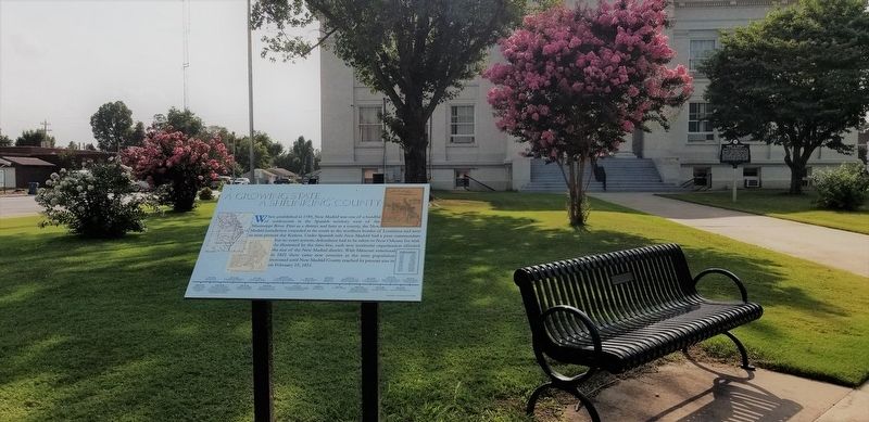
When established in 1789, New Madrid was one of a handful of settlements in the Spanish territory west of the Mississippi River. First as a district and later as a county, the New Madrid jurisdiction extended as far south to the northern border of . . . — — Map (db m179976) HM
Near Arkansas Route 25 at 3rd Street, on the left when traveling south.
In 1815 Lawrence County was formed from the Territory of Missouri. It became part of the Arkansas Territory in 1819 when Missouri became a state. Thirty-one other counties were formed from Lawrence County, giving it the name, "Mother of Counties." . . . — — Map (db m155965) HM
Near Arkansas Route 166 0.6 miles south of Route 361.
Legal Heart of the County
While trials of criminal cases might have
been the most exciting events that went on
at the courthouse, the day-to-day business
of municipal life was what made the county
seat important. It was here that land . . . — — Map (db m170919) HM
On Williams Street just south of Lee Street, on the right when traveling south.
Appointed by Sheriff Seth Bullock Deadwood’s 1st Sheriff, US Marshal Captain A Troop Grisby’s Cowboy Regiment Spanish American War Built 1882 — — Map (db m305898) HM
On West Commercial Street at Frisco Place, on the right when traveling east on West Commercial Street.
The City of Pierce City was founded in Lawrence County in 1870 as
a division point for the Atlantic and Pacific Railroad. Named for
railroad executive Andrew Peirce, the town used both spellings before
settling on “Pierce” in 1934. An early . . . — — Map (db m251586) HM
On Arkansas Route 115 at Elm Street, on the right when traveling west on Arkansas Route 115.
The Civil War in Lawrence County
Smithville was the Lawrence County seat in 1861, and while most residents supported secession, others stayed loyal to the Union. At least 17 Confederate companies were raised in the county. Other troops . . . — — Map (db m170478) HM
On Cooperage Way (County Route 700) at Alabama Route 20, on the right when traveling south on Cooperage Way.
(side 1)
This small dwelling is the last reminder of "Boxwood" plantation, the home of the Elliot family, and later of the Nevilles. Built-in 1854 of slave-made brick and occupied by the household servants it is one of the few brick . . . — — Map (db m114719) HM
On U.S. 62/67 north of South Bettis Street, on the right when traveling north.
People have hunted and fished in the rich Black River Basin at least since the Paleo Indian Period (beginning around 10,000 B.C.). More recently, Native American built villages and mounds across the Mississippi River valley (3000 B.C.-A.D.1650). . . . — — Map (db m170367) HM
Near Arkansas Route 166 0.6 miles south of Route 361 when traveling south.
Courthouse Architecture
Prominently placed in the center of the
town square sat the Lawrence County
Courthouse. Although no illustration
of the courthouse has been found,
research indicates it was built on a
plan commonly used in the . . . — — Map (db m170851) HM
John Richard Brennan
From John Brennan's Journal
February 23, 1876
A party consisting of W.P. Martin, J.W. Allen, Mart Persinger, William Marston, John R. Brennan, Tom Ferguson, and Dick King left Palmer Gulch with a view . . . — — Map (db m187538) HM
Thin black lines indicate changes in relevance. Between each pair of lines entries are ordered geographically but all have the same relevance.
* Inflectional forms of words are their plurals, singulars, and possessives as well as gramatical tenses and similar variations.