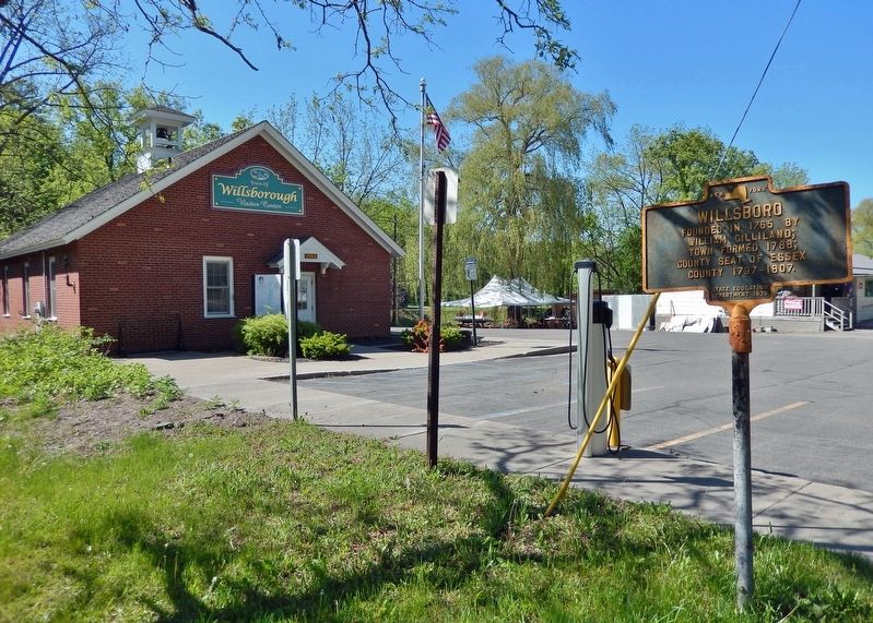
On Brinkerhoff Street at Marion Street, on the left when traveling east on Brinkerhoff Street.
The families who founded the First Presbyterian Church of Plattsburgh in 1797 were among the wealthiest and most influential in town. Several had owned slaves prior to 1827 when New York outlawed slavery. Others had a history of active involvement . . . — — Map (db m268197) HM
On West Mansion Street at North Eagle Street, on the right when traveling west on West Mansion Street.
The city of Marshall was platted in 1830 by Sidney Ketchum, a land speculator from Clinton County, New York. In 1832 townsfolk erected their first public building, a modest frame schoolhouse, on land donated by Isaac E. Crary, who became one of the . . . — — Map (db m177246) HM
On Exchange Street at East Green Street, on the right when traveling south on Exchange Street.
Sidney Ketchum (1797-1862) Sidney Ketchum, a land surveyor, was born in Clinton County, New York. Seeking a new home and hoping to found a town, Ketchum explored central lower Michigan in 1830. Later that year he obtained government grants for . . . — — Map (db m177175) HM
On North Westphalia Street at Church Street, on the right when traveling south on North Westphalia Street.
Westphalia Settlement
In October 1836 the Reverend Anton Kopp and five other men from Westphalia, Germany, arrived in New York. They traveled to Detroit by way of the Erie Canal. Advised to settle in the Grand River Valley, the Reverend Kopp . . . — — Map (db m215916) HM
On Chemin Louis Cyr (Rue Saint-Jacques) (Québec Route 221) 1 kilometer south of Rue de l'Église, on the right when traveling south.
Vous êtes sur le lot n° 10, route de Burtonville. François Trépanier (1796-1844) et sa famille cultivent cette terre en 1838. François possède aussi une autre terre sur le lot n° 1, dans la 1re concession de la Petite Rivière . . . — — Map (db m315987) HM
Near Lincoln Highway (U.S. 30) just west of Monroe Avenue, on the right when traveling west.
In 1912, there were approximately one million motor vehicles registered in the United States but few good roads. Most of the roads outside of urban areas were dirt that turned to mud when wet. Long-distance travel by car was still very much a . . . — — Map (db m162418) HM
This wasn't always the quiet, peaceful place you find today. Point au Fer was once an important strategic military post.
The northern half of Lake Champlain used to be controlled by the French. On June 6, 1760, during the French and Indian War . . . — — Map (db m234761) HM
On Jay Street (Pennsylvania Route 664) at Water Street, on the right when traveling north on Jay Street.
Lock Haven...looking to the future, warmly remembering its past!
Nestled between the West Branch of the Susquehanna River and the scenic mountains of Central Pennsylvania, Lock Haven has small town charm and a rich historical architectural . . . — — Map (db m251748) HM