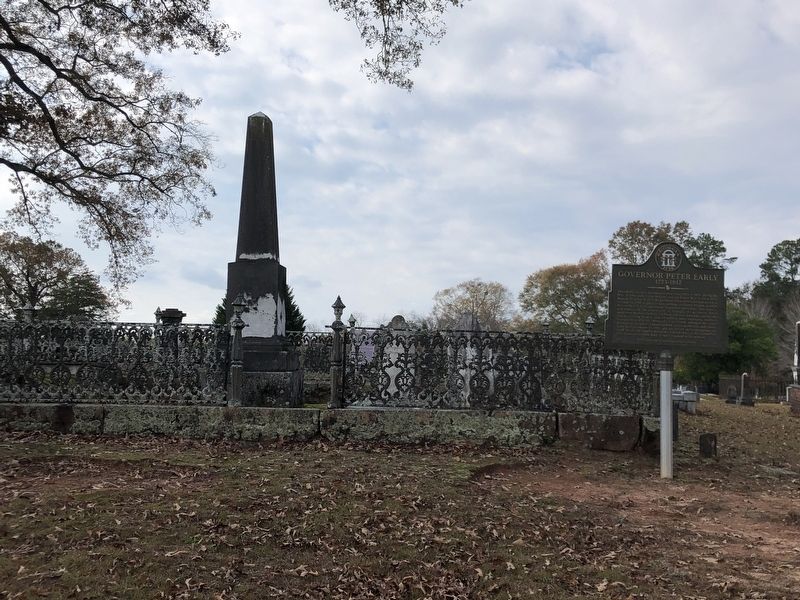
Near Memorial Drive west of North East Street, on the left when traveling west.
Peter Early served as Georgia governor from 1813 to 1815, during the War of 1812 with Great Britain and the Creek War of 1813-1814. Born in Virginia in 1773, he graduated from Princeton and moved to Georgia in 1795 to practice law, settling in . . . — — Map (db m267641) HM
On Saint Augustine Road 0.3 miles west of James Road, on the right when traveling east.
According to local tradition, Spanish priests traveled from San Augustín (St. Augustine, Florida) on the Atlantic coast along trails into northern Florida and southern Georgia, where they established a network of Indian missions during the 1600s . . . — — Map (db m279744) HM
On Greensboro Highway (Georgia Route 15) at Sand Pit Road, on the right when traveling north on Greensboro Highway. Reported missing.
Near here, on a bluff overlooking the river, stood the home of Governor Peter Early, one of Georgia's great men. Born in Virginia, June 30, 1773, a graduate of Princeton, he was a lawyer, judge, State Senator, Congressman, Governor during the . . . — — Map (db m170378) HM
On Main Street (Georgia Route 1) at College Street, in the median on Main Street.
This flag pole from which the Stars and Bars [CS] proudly flew is the last original Confederate flag staff still standing in Georgia. The stalwart pole was hewn from a long leaf pine tree that grew one mile southwest of this city in Early county. . . . — — Map (db m23172) HM
Near Memorial Drive west of North East Street, on the left when traveling west.
He was born near Madison, Virginia in 1773, the
son of Joel Early and Lucy Smith. His cousin, Jubal
Early, was the grandfather of Confederate General
Jubal Anderson Early (1816-1894). Peter Early
graduated from the Lexington Academy (current . . . — — Map (db m267646) HM
On Cotton Hill Road (County Route 43) 0.5 miles east of County Route 50, on the right when traveling east.
This church was constituted on July 21, 1822, under the leadership of the Rev. Jim Davis, when Fort Gaines was part of Early County. Land for the church was donated and deeded by J. Hugh Edge. The first building, which also served as a schoolhouse, . . . — — Map (db m47207) HM
On Court Square (Georgia Route 62) at Main Street, on the left when traveling east on Court Square.
The people of Early County, the largest peanut producing center in the world, have erected this monument in tribute to the peanut, which is so largely responsible for our growth and prosperity. Not only has it contributed to the higher living . . . — — Map (db m164460) HM
On East Church Street (Alabama Route 52) at South Davis Street, on the right when traveling east on East Church Street.
Side 1
History suggests that, in the early 1820's, circuit riding preachers from the South Carolina Conference of the Methodist Episcopal Church arrived in the newly settled town of Columbia. Assigned to the Early County Mission in . . . — — Map (db m73363) HM
Thin black lines indicate changes in relevance. Between each pair of lines entries are ordered geographically but all have the same relevance.
* Inflectional forms of words are their plurals, singulars, and possessives as well as gramatical tenses and similar variations.