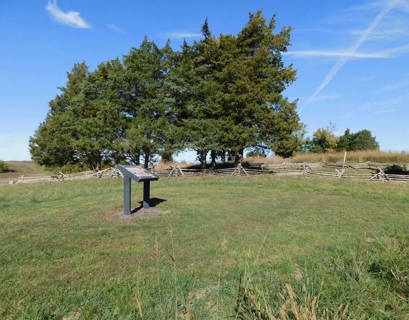
Near Park Road 0.3 miles west of Battlefield Road (Kentucky Route 1920).
The Battle of Perryville was a fierce fight for the 420 members of the 79th Pennsylvania Infantry. Fighting in these fields, this unit suffered 40 killed, 146 wounded, and 30 missing. This represents a loss of more than fifty percent of the . . . — — Map (db m288944) HM
Near Whites Road 0.1 miles west of Hays Mays Road, on the right when traveling west.
When night fell and the fighting ended, Union troops in this area feared the Confederates would resume the attack. The Union army controlled the crucial Dixville Crossroads, the intersection located to your right. The Union soldiers spent several . . . — — Map (db m288340) HM
On West Main Street (U.S. 25) west of 3rd Street, on the right when traveling west.
James Bennett McCreary
On August 31, 1975, James Bennett McCreary, a native of Madison County, was inaugurated governor of Kentucky. While advocating peace and reconciliation, his campaign had traded on his rank of lieutenant colonel . . . — — Map (db m45014) HM
On Boonesboro Road (Kentucky Route 388), on the right when traveling south.
Nathaniel Hart
Nathaniel Hart was born in Hanover County, Virginia, in 1734. A key figure in the purchase of land in Kentucky from Cherokee Indians, he came to Boonesborough in 1775. Killed in 1782 by Indians near this old house, and buried . . . — — Map (db m239141) HM
The Valley View Ferry has been operating since 1785 making it the oldest continuously operating business in Kentucky and perhaps the oldest ferry in America. Valley View Ferry was chartered near the community of Valley View, a thriving river town . . . — — Map (db m92819) HM
On Livingston Highway (SR111) north of Obey Park Road, on the left when traveling north.
Near here in November, 1852, a black and tan hound was stolen out of a deer chase by a horse trader, taken to Madison County, Kentucky, sold to George Washington Maupin. There, as Tennessee Lead, he became the foundation sire of all Walker, Trigg . . . — — Map (db m68327) HM
Near Battlefield Memorial Highway (U.S. 421) at Hays Fork Lane, on the right when traveling south.
The Cemetery
This cemetery holds the remains of some of the Barnett family, who settled this land sometime before 1804, and their servants. While most of these markers are inscribed, there are also at least three unidentified field-stone . . . — — Map (db m140408) HM
Near Battlefield Memorial Highway (U.S. 421) at Berea Road (U.S. 25), on the right when traveling north.
Son of an Influential Kentucky Family
The Nelson family counted among its friends some of the most important families in Kentucky. William Nelson, born in 1824, near Maysville, Kentucky, grew up in an atmosphere of influence and wealth. . . . — — Map (db m86288) HM
On McKee Road (U.S. 421) 0.6 miles north of State Highway 594, on the left when traveling north.
Shortly after Daniel Boone and his party chopped out a trail to the Kentucky River in 1775, members of the Starns family came to Boonsborough from Southwest Virginia, made land entries and helped build the fort. Frederick Starn, Sr. had . . . — — Map (db m30628) HM
On Old U.S. 66 at Quinn Street, on the right when traveling north on U.S. 66.
Native American groups in the area included the Illini, Peoria, Sauk, and Kickapoo, along with several others. Due to historical erasure of these marginalized peoples, it is difficult to find detailed information about their involvement in this . . . — — Map (db m266944) HM
The Pioneer National Monument Association was
an outgrowth of the Daniel Boone Bicentennial
Commission, which was created in 1934.
Under the leadership of Dr. Jonathan T. Dorris,
Eastern Kentucky State Collegé history professor
and . . . — — Map (db m165364) HM
Near Battlefield Memorial Highway (U.S. 421), on the right when traveling south.
Never a plantation Pleasant View Farm had its beginnings in 1801 when Joseph Barnett bought 578 acres on the Hayes Fork of Silver Creek. By 1824 he had constructed the brick house that stands today. About the same time, Barnett is believed . . . — — Map (db m31624) HM
Born in Madison County, Kentucky, January 14, 1807
Died at Tacoma, Washington, April 17, 1875
Pioneer and founder of Burlington, Iowa – 1883 · Linnton, Oregon – 1843 · Tacoma, Washington – 1868. — — Map (db m290971) HM
Near Collinsville Street at South Main Street, on the right when traveling north.
Bethel Meeting House 1805
The Bethel Meeting House was erected near the site of the historical marker on the Glen Carbon Road at the entrance to Lakewood, in 1805 by the frontier citizens of the Goshen settlement. This was first Methodist . . . — — Map (db m169618) HM
On Barnes Mill Road (Kentucky Route 876) at Goggins Lane, on the right when traveling west on Barnes Mill Road.
Madison County was created from Lincoln County in 1785 and later became 14 counties. Madison County was formally organized at Milford on August 22, 1786 as approved by the Virginia General Assembly with ten Justices of the Court & other officials . . . — — Map (db m273107) HM
Near Missouri Route 5 at Katy Trail, on the right when traveling south.
The story of heroine Millie Cooper is one of the great legends of Howard County. Mildred, nicknamed Millie by her father, was born in Madison County, Kentucky. She lived there until her father, Braxton, and his two brothers, Benjamin and Sarshall, . . . — — Map (db m252453) HM
On County Highway 401 at State Highway 71, on the right when traveling north on County Highway 401.
Texas patriot Jesse Burnam (also spelled Burnham), born in Madison County, Kentucky, was the youngest son of seven children. In 1812, Jesse married Temperance Null Baker in Shelbyville, Tennessee. Jesse was a private in the Mounted Volunteers of . . . — — Map (db m139958) HM
On West 18th Street at Baynard Boulevard on West 18th Street.
African American Medal of Honor Recipients Memorial
The Medal of Honor takes its place in our country as the highest award for military valor. The honor, awarded by the President in the name of Congress, may only be accorded an . . . — — Map (db m173924) HM WM
Near Missouri Route 5 at Katy Trail, on the right when traveling south.
Born in Madison County, Kentucky, Christopher (Kit) Carson was the ninth of fourteen children. At the age of nine, when Kit's father died, he helped support the family and at 14, he was apprenticed as a saddle and harness maker. Two years later, . . . — — Map (db m252447) HM
Near Springfield Road north of Illinois Route 159. Reported missing.
One quarter-mile to the west stood Fort Russell, a wooden stockade which served as a base of supplies and operations for the Illinois Militia during the War of 1812. From here, for months at a time, Governor Ninian Edwards administered the affairs . . . — — Map (db m202080) HM
On Hopeful Church Road (Kentucky Route 842) east of Clayton Road, on the right when traveling east.
Hopeful Evangelical Lutheran
Church was founded on Epiphany
Day. 1806. by German-speaking
families from Madison County, Virginia.
Called “the Mother of Lutheranism
west of the Allegheny Mountains,”
it is the oldest Lutheran church . . . — — Map (db m136081) HM
On Tates Creek Avenue (on School Road) north of Westover Avenue, on the right when traveling north.
Christopher Houston “Kit” Carson
Famous old west FigureWas born in Madison County on December 24, 1809
Less than two years later, the Carson family moved to Missouri. After his father, Lindsey Carson, . . . — — Map (db m67796) HM WM
In Memory of the Pioneers who with energy born of conviction, wrested wealth from the earth and gave an empire to untold generations to come. This memorial is dedicated by one of Kentucky's sons 1775-1906
Pioneer Monument
Erected . . . — — Map (db m86284) HM
On Norfolk Street at Washington Street, on the right when traveling south on Norfolk Street.
Lewis and John Milton Clarke, who were among the many contributors to the antislavery cause in Cambridge, were born in Madison County, Kentucky. They were the sons of an elderly white Revolutionary War veteran and a mulatto daughter of Samuel . . . — — Map (db m215275) HM
On Main Street at Cherry Street, on the right when traveling north on Main Street.
Born in Madison County, Kentucky
May 7, 1848
Died at Washington D.C.
April 14, 1918
Congressman 1885-1891
Governor 1893-1896
United States Senator 1903-1918
A Noble Man • Wise Brave Patriotic Statesman • Untiring Champion of the . . . — — Map (db m34309) HM
On Old Canton Road at Rice Road, on the left when traveling north on Old Canton Road.
Although Ridgeland was founded well after the Civil War, several actions occurred
in Madison County during the war. In May 1863, Confederate General Joseph E.
Johnston retreated to this area following the battle of Jackson. For the next . . . — — Map (db m259512) HM
Near East Broadway east of North Howard Street, on the left when traveling east.
In the year 1810 a number of families emigrated,
mostly from Madison County, Kentucky, and made
the first permanent settlement in the Boonslick
country.
Several of the number were Baptists who came with
the purpose of planting the gospel . . . — — Map (db m252637) HM
Thin black lines indicate changes in relevance. Between each pair of lines entries are ordered geographically but all have the same relevance.
* Inflectional forms of words are their plurals, singulars, and possessives as well as gramatical tenses and similar variations.