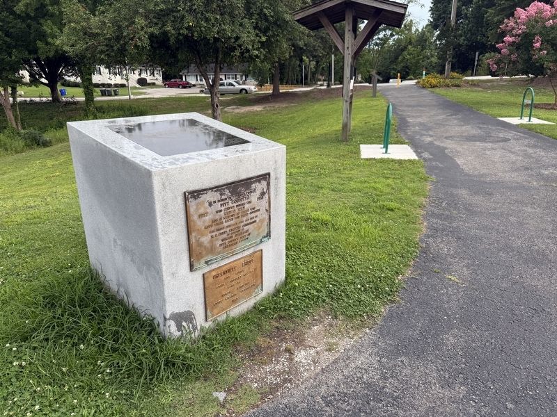
Near East 1st Street east of Reade Street, on the left when traveling east.
Constructed in 1927, this 200 ft. span ridge once served as a crossing over the Tar River and was located on Greene Street. In 2002, it was disassembled into three sections and moved to the Town Commons Park. Re-assembly of the . . . — — Map (db m276442) HM WM
On Baker Street at Avery Street, on the right when traveling south on Baker Street.
Constructed in 1927, this 200 ft. span ridge once served as a crossing over the Tar River and was located on Greene Street. In 2002, it was disassembled into three sections and moved to the Town Commons Park. Re-assembly of the . . . — — Map (db m276449) HM WM
On Cannon Price Road at Stokestown Saint Johns Road (County Route 1753), on the right when traveling east on Cannon Price Road.
(preface)
On July 18, 1863, Union Gen. Edward E. Potter led infantry and cavalry from New Bern to destroy the Wilmington and Weldon Railroad bridge at Rocky Mount. The infantry feinted toward Kinston and returned to New Bern. Potter raided . . . — — Map (db m76919) WM
On Main Street (U.S. 11) east of City Hall Drive, on the right when traveling west.
Warren Truss, a wealthy farmer from Pitt County, North Carolina, was the first settler in the area known today as Trussville. In August 1821, Truss purchased 1000 acres of land near the banks of the Cahawba River. The cemetery is located on what is . . . — — Map (db m254923) HM
Near North Kings Drive at East Fourth Street (North Carolina Route 16), on the right when traveling south.
(left panel)
Loonis McGlohon (the name was proudly Scots-Irish) learned piano in church as a boy in Ayden, NC, and fell in love with the new swing jazz he heard on the radio. He played in the Army Air Force band during World War II, then . . . — — Map (db m249184) HM
On Baltimore Street (Pennsylvania Route 94) just south of West Hanover Street, on the right when traveling south.
The Warehime-Myers Mansion, 305 Baltimore Street was built for Clinton N. Myers and his family between 1911 and 1913. This Neo-Classical structure is a "fraternal twin" to the Sheppard Mansion at 117 Frederick Street. Both C.N. Myers and H.D. . . . — — Map (db m197245) HM
On U.S. 13 (U.S. 258) at County Route 903, on the right when traveling north on U.S. 13.
On July 18, 1863 Union Gen. Edward E. Potter led infantry and cavalry from New Bern to destroy the Wilmington and Weldon Railroad bridge at Rocky Mount. The infantry feinted toward Kinston and retreated to New Bern. Potter raided . . . — — Map (db m222349) HM
On Fayetteville Street south of Eagle Campus Drive, on the left when traveling south.
In Loving Memory of
Beulah C. Bowens Fuller
1918-1997
Wilson, North Carolina
Class of 1940
North Carolina College for Negroes at Durham
A graduate of Darden High School in Wilson, North Carolina and the first in her family to . . . — — Map (db m126198) HM
On North Carolina Route 903 0.2 miles east of Edwards Bridge Road (County Route 1004), on the left when traveling east. Reported permanently removed.
(preface) On July 18, 1863, Union Gen. Edward E. Potter led infantry and cavalry from New Bern to destroy the Wilmington and Weldon Railroad bridge at Rocky Mount. The infantry feinted toward Kinston and returned to New Bern. Potter . . . — — Map (db m266003) HM
Near Nash Street at West 5th Street, on the right when traveling south.
One of Eastern North Carolina's most extraordinary friends in the cause of education in the first half of the 20th century was Charles Montgomery Eppes (1858-1942), supervising principal of Greenville's African American schools from 1903-1942. A . . . — — Map (db m251587) HM
"The Grand Old Man Of North Carolina"
Captain, 8th North Carolina, CSA
Lt. Governor & Governor of North Carolina
U.S. Ambassador to Brazil
U.S. Senator
The Father of East Carolina University In life he embodied the motto
of the . . . — — Map (db m66885) HM
On County Road 752 0.2 miles south of County Road 480, on the right when traveling north.
This cemetery is the final resting place for thirty-seven
members of the Moore Family. John Moore, son of American
Revolutionary War Patriot and Battle of Charleston POW
Obadiah Moore, purchased this land on September 4, 1834.
The Moore family . . . — — Map (db m206684) HM
On Richlands Road (U.S. 258) near Measley Road, on the right when traveling north.
Harriet’s Chapel saw some of the most intense fighting of the Battle of Kinston. In 2010, Historical Preservation Group moved this building, once New Beaverdam Primitive Baptist Church, to this site to interpret Harriet’s Chapel’s role in the . . . — — Map (db m70418) HM
Near East 1st Street at North Side Street, on the left when traveling east. Reported permanently removed.
On July 18, 1863, Union Gen. Edward E. Potter led infantry and cavalry from New Bern to destroy the Wilmington and Weldon Railroad bridge at Rocky Mount. The infantry feinted toward Kinston and returned to New Bern. Potter raided . . . — — Map (db m76873) HM
On East 1st Street east of Reade Street, on the left when traveling east.
On July 18, 1863, Union Gen. Edward E. Potter led infantry and cavalry from New Bern to destroy the Wilmington and Weldon Railroad bridge at Rocky Mount. Potter sent the infantry toward Kinston and part of the cavalry to Rocky Mount, . . . — — Map (db m276446) HM
Near East 1st Street at Evans Street, on the right when traveling west.
On September 15, 1999 Hurricane Floyd struck eastern North Carolina, resulting in historic levels of flooding and causing the loss of 35 lives within the state. Just ten days prior, Hurricane Dennis had dropped about 8 inches of rain in the area, . . . — — Map (db m251689) HM
On West Stewart Parkway at South Respess Street, on the right when traveling east on West Stewart Parkway.
The Original Washington
The history of Washington began around 1585 when English explorers first visited the area that would become Washington. The easily navigable waters and excess of natural resources made the area a very successful port . . . — — Map (db m226611) HM
On West Water Street at Monroe Street, on the right when traveling west on West Water Street.
In its edition of August 27, 1851, the Plymouth Villager made a backhanded confirmation of the presence of abolitionists in Washington County, North Carolina. "A coat of tar and feathers is in waiting for the gentleman who will come about . . . — — Map (db m276306) HM
On State Highway 11 near Blount Hall Road (State Highway 1103), on the right when traveling south.
Built before 1762 by Jacob Blount, member of Assembly, 1754-1762, 1764-1771, and of Provincial Congress, 1775 - 1776. Stood 90 Yds. N.W. — — Map (db m65465) HM