By Mark Parker, December 19, 2024
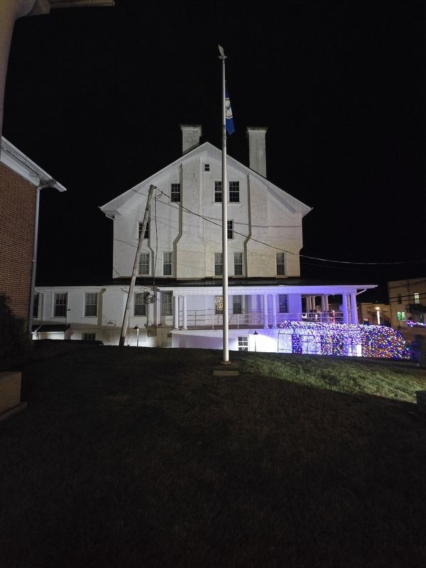
Carroll County Historical Flagpole Marker at the base of the Virginia state flag
RANKED BY RELEVANCE
| On North Main Street (U.S. 52) north of East Grayson Street, on the right when traveling north. |
| On Danville Pike / East Stuart Drive (Old U.S. 58) just west of Snake Creek Road (County Route 670), on the right when traveling west. |
| On Greenville Road (Virginia Route 640) at Justice Road ( Route 634), on the right when traveling west on Greenville Road. |
| On East Stuart Drive (Old U.S. 58) east of Floyd Pike (U.S. 221), on the right when traveling east. |
| On Danville Parkway (U.S. 58), on the right when traveling east. |
| On Byllesby Road (County Route 602) at Buck Dam Road, on the left when traveling east on Byllesby Road. |
| On Carrolton Pike (U.S. 58) near Coulson Church Road (County Route 620), on the right when traveling west. |
| On West Main Street (County Route 1001) at Scenic Road and Ivanhoe Road ( Route 94), on the left when traveling west on West Main Street. |
| On West 18th Street at Baynard Boulevard on West 18th Street. |
| On West Confederate Avenue, on the left when traveling south. |
| On Ivanhoe Road (Virginia Route 94) south of Hilltown Road (County Road 758), on the left when traveling south. |
| On North Main Street (U.S. 52) just north of Mill Street, on the right when traveling north. |
| On Carrolton Pike (U.S. 58) west of Snake Creek Road (County Route 670), on the right when traveling west. |
| On Woodlawn Road (Route 872) east of Snake Creek Road (County Route 620), on the right when traveling east. |
| On West Stuart Street west of North Jefferson Street, on the right when traveling east. |
| On 2nd Street NW (Virginia Route 99), on the right when traveling west. |
| On West Baltimore Street (State Highway 140) at Park Road, on the left when traveling west on West Baltimore Street. |
| Near South Center Street north of Gist Road, on the right when traveling south. |
| On West Main Street (Maryland Route 851) at Baldwin Drive, on the right when traveling west on West Main Street. Reported missing. |
| On West Main Street at Baldwin Drive, on the right when traveling west on West Main Street. |
| Near Littlestown Pike (Maryland Route 97). Reported permanently removed. |
| Near Littlestown Pike (Maryland Route 97) 0.4 miles north of Saw Mill Road West, on the right when traveling north. |
| On Uniontown Road 0.1 miles Route 84, on the right when traveling east. |
| On South Center Street at Farm Museum Road, on the right when traveling south on South Center Street. |
| On Emerald Hill Lane just north of Longwell Avenue, on the right when traveling north. |
| On Rebel Drive at Dormitory Row North, on the right when traveling east on Rebel Drive. |
| Near Duncan Road (Route 670), on the left when traveling south. |
| On U.S. 221 0.1 miles east of Borderline Road, on the right when traveling east. |
| On Scenic Road (Virginia Route 94) north of Walnut Lane (Route 860), on the right when traveling north. |
| On Main Street (Maryland Route 140) north of Bond Avenue, on the left when traveling north. |
| On Watt House Road (Virginia Route 718) 0.2 miles south of Cold Harbor Road ( Route 156), on the left when traveling south. |
Thin black lines indicate changes in relevance. Between each pair of lines entries are ordered geographically but all have the same relevance.* Inflectional forms of words are their plurals, singulars, and possessives as well as gramatical tenses and similar variations.
Nov. 12, 2026
