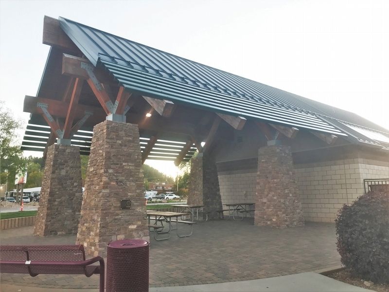
On West Omaha Street at Oshkosh Street, on the right when traveling west on West Omaha Street.
Heavy thunderstorms on the afternoon and evening of June 9th, 1972, caused Rapid Creek to flood this area. The water reached the elevation of this flood benchmark. — — Map (db m184418) HM
a relief sculpture in concrete
Martin Wanserski, creator and designer
Fiorenzo Berardozzi and Nancy Losacker, artist assistants
Lost Cabin Constructors, Inc., fabricators and installers
Trout are not native to the Black Hills. They were . . . — — Map (db m184831) HM
Near Chapel Lane, on the left when traveling west.
The rune stones of the viking period were erected to commemorate
the dead - mostly powerful people - and their honorable deeds.
They were intended to be prominent and were painted in bright colors.
The stones often stood near roads or bridges, . . . — — Map (db m300571) HM
Tank Trap A.
This tank trap, located between the Brandenburg Gate and Checkpoint Charlie from 1961 - 1989, is donated in honor of the citizens of Potsdam, Germany (the sister city of Sioux Falls, South Dakota), where religious freedom was . . . — — Map (db m136417) WM
The United States never wavered in its commitment to freedom and democracy in Berlin, a city isolated 100 miles inside Easts Germany. In 1948, to assert its influence over Germany, the Soviet Union blockaded land access to Berlin. The Western . . . — — Map (db m136414) WM
Given to Rapid City by Generous Citizens Mindful of the Price of Freedom
COMMITTEE
Gale Holbrook
Ra Vae Luckhart
Jim Kuehn
Phil Nichols
Carolyn Mollers
Paul Reinke, DDS
Col. Josiah Wallace
Dale Clement, PhD . . . — — Map (db m136399) WM
Here, in America's Heartland between Mount Rushmore national Memorial and Ellsworth Air Force Base, remnants of the Berlin Wall are a vivid remainder that vigilance must never give way to complacency where freedom is concerned.
The . . . — — Map (db m136400) HM
Sometimes East German border guards themselves took advantage of lapses of attention to escape the watch of their colleagues, as Conrad Schumann did by leaping over the barbed wire and fleeing to the West. Most often, however, people attempting . . . — — Map (db m136412) WM
On West Omaha Street (Highway 44) north of Canal Street.
The Eagles
"On eagles wings they soar, forever free, forever in our hearts."
On August 2, 2011, three Rapid City Police Officers were shot while on a routine public nuisance call. Officer Ryan McCandless died at the scene, Officer Nick . . . — — Map (db m184743) HM
On North 3rd Street north of Philadelphia Street, on the right when traveling north.
Original Construction
The Madison cabin was built in 1876 with logs from the abundant groves of cottonwoods along Rapid Creek. After the trees were felled and trimmed, the logs were squared on the ground (typically with a broadaxe) . . . — — Map (db m154847) HM
Near North 3rd Street north of Philadephia Street, on the right when traveling north.
This cabin, dating to Rapid City's is founding in early 1876, is the oldest known structure in the city and one of the oldest standing structures in the Black Hills. Rufus "Pap" Madison built it at the corner of Fifth and Rapid Street, the center of . . . — — Map (db m154909) HM
On Main Street at Seventh Street, on the right when traveling west on Main Street.
Vanishing Elements of Our Past
On May 1997, downtown Rapid City experienced a tremendous loss
that date, a fire destroyed the historic Sweeney Hardware Building which
stood the southwest comer of Seventh and Main Streets. The loss . . . — — Map (db m303522) HM
What is Founders Park Plaza's mission?
1. To mark the location where the founding party camped in 1876 while they laid out Rapid City.
2. To honor Rapid City's founders and pioneers.
3. To educate visitors about the 50 years of Rapid . . . — — Map (db m187537) HM
Near Stratobowl Road (County Road L235) 1.3 miles north of U.S. 16.
From the floor
of the Stratobowl below
on November 11, 1935
The Stratosphere Balloon Explorer II rose to the world altitude record of 72,395 feet
★
The ascent was made for scientific . . . — — Map (db m161947) HM
This loop trail rises 300 feet to a dramatic view of the White River Valley. From this elevation you can also see the flat-topped Eagle Butte, 25 miles (40 km) to the south. Humans have used the Cliff Shelf for more than 11,000 years. More than 50 . . . — — Map (db m45290) HM
Near Badlands Loop Road (State Highway 240) 0.4 miles east of Sage Creek Rim Road, on the right when traveling east.
Thirty-seven million years ago, the ancient crystalline core of the Black Hills had already been exposed by erosion. The long blue profile of those mountains, visible to the west, looked much as it does now.
About that time, streams flowing . . . — — Map (db m4404) HM
On 195th Avenue 0.4 miles south of Dillon Pass Road, on the right when traveling south.
The fence in front of you once guarded the Delta-09 Launch Facility which held a Minuteman II intercontinental ballistic missile (ICBM). During the Cold War, anyone or anything that crossed this fence was in serious trouble. Standing orders meant . . . — — Map (db m66953) HM
On Badlands Loop Road (State Highway 240), on the left when traveling west.
Homesteaders poured into the Badlands when the Milwaukee Railroad completed track through the White River Valley in 1907.
"Visualize if you can," one observer wrote, "a tar paper shack, tent, or dugout on every quarter section of land... . . . — — Map (db m236155) HM
On Badlands Loop Road (State Highway 240) 0.3 miles east of Conata Road (Road 509), on the right when traveling east.
A jungle grew here. Before that, a shallow sea covered the land. Both are gone now, but both left evidence of their passing.
The sea's signature is ammonites, baculites, and clams, pearly fossils entombed in a fossil mud called the Pierre . . . — — Map (db m4399) HM
On Main Street 0.1 miles south of 4th Avenue, on the right when traveling south.
On this Memorial Day, May 30th, 1939
The Carrol McDonald Post No. 246
Of the American Legion
Erects and Dedicates
This Monument to the Memory of
Those Soldiers who were called
From Wall and Vicinity to
Serve their Country . . . — — Map (db m168856) WM
Near Interstate 90 at milepost 98 east of Base Line Road, on the right when traveling east.
South Dakota's rich western heritage has been remembered along the Interstate highway system at safety rest areas and tourist information centers.
The eight pillars which thrust skyward here merge in the framework of a tipi, the Plains Indian . . . — — Map (db m184631) HM
Near Interstate 90 at milepost 100, on the right when traveling west.
South Dakota's rich western heritage has been remembered along the Interstate highway system at safety rest areas and tourist information centers.
The eight pillars which thrust skyward here merge in the framework of a tipi, the Plains . . . — — Map (db m192323) HM
On I-90 E, on the right when traveling east. Reported permanently removed.
When the Oahe Dam was built, taming the
Mighty Missouri River, the resulting reservoir
backed up 231 miles. The dam was completed
in 1962 and was dedicated by President John
F. Kennedy. The body of water, named Lake
Oahe, boasts 2,250 miles of . . . — — Map (db m283907) HM
On Interstate 990 0.5 miles Wasta, on the right when traveling east. Reported permanently removed.
South Dakota is home to nine tribes of the Sioux Nation, each of which is identified by one of three dialects: Dakota, Lakota and Nakota. One way to experience a part of tribal culture is by attending a "wacipi" or "powwow," to see the colorful . . . — — Map (db m283906) HM
On May 24, 2012, the South Dakota DOT's Transportation Commission officially declared Interstate 90 from the Minnesota border to the Wyoming border as South Dakota's segment of the National Purple Heart Trail. The Purple Heart Trail was . . . — — Map (db m124101) HM
On I-90 E, on the right when traveling east. Reported permanently removed.
Mitchell is home to the World's Only Corn Palace.
It was originally constructed in 1892 to celebrate
the harvest and stimulate the economic growth
of the community. Today, visitors can still enjoy
celebrations at the Corn Palace and can . . . — — Map (db m283905) HM
128 entries matched your criteria. Entries 101 through 128 are listed above. ⊲ Previous 100