16 entries match your criteria.
Historical Markers in Cahersiveen, Munster
By William Fischer, Jr., May 19, 2019
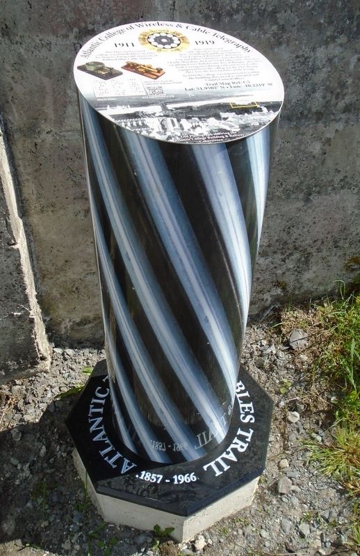
Atlantic College of Wireless & Cable Telegraphy Marker
| On Brendan's Terrace, 0.2 kilometers east of Bridge Street, on the right when traveling east. |
| On O'Connell Street just north of Church Street/Ring of Kerry (National Route N70), on the right when traveling north. |
| On National Route N70 at Carhan Road, on the right when traveling east on National Route N70. |
| On Church Street/Ring of Kerry (National Route N70) just east of O'Connell Street, on the left when traveling east. |
| On Ring of Kerry (National Route N70) at Carhan Road, on the right when traveling east on Ring of Kerry. |
| On O'Connell Street, 0.1 kilometers north of Church Street/Ring of Kerry (National Route N70), on the right when traveling north. |
| On Reenrusheen Road just east of Cois Uisce, on the left when traveling east. |
| On Brendan's Terrace, 0.3 kilometers east of Bridge Street, on the left when traveling east. |
| On Carhan Road just south of Ring of Kerry (National Route N70), on the left when traveling south. |
| On Bridge Street, 0.3 kilometers north of Church Street/Ring of Kerry (National Route N70), on the right when traveling north. |
| On National Route N70 at Carhan Road, on the right when traveling east on National Route N70. |
| On Ring of Kerry (National Route N70) just east of Carhan Road, on the left when traveling west. |
| On Church Street (National Route N70) just west of Bridge Street, on the left when traveling east. |
May. 19, 2024