12 entries match your criteria.
Related Historical Markers
Skmaqn–Port-la-Joye–Fort Amherst National Historic Site
By Cosmos Mariner, July 18, 2019
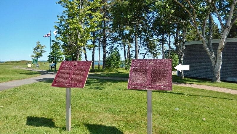
Port-La-Joye - Fort Amherst Marker
(marker on right • Park & Visitor Center in background)
SHOWN IN SOURCE-SPECIFIED ORDER
| Near Haché Gallant Drive, 1.2 kilometers east of Prince Edward Island Route 19, on the left when traveling east. |
| Near Hache Gallant Drive, 1.2 kilometers east of Prince Edward Island Route 19, on the left when traveling east. |
| Near Hache Gallant Drive, 1.2 kilometers east of Prince Edward Island Route 19, on the left when traveling east. |
| Near Hache Gallant Drive, 1.2 kilometers east of Prince Edward Island Route 19, on the left when traveling east. |
| Near Hache Gallant Drive, 1.2 kilometers east of Prince Edward Island Route 19, on the left when traveling east. |
| Near Hache Gallant Drive, 1.2 kilometers east of Prince Edward Island Route 19, on the left when traveling east. |
| Near Hache Gallant Drive, 1.2 kilometers east of Prince Edward Island Route 19, on the left when traveling east. |
| Near Haché Gallant Drive, 1.2 kilometers east of Prince Edward Island Route 19, on the left when traveling east. |
| Near Hache Gallant Drive close to Blockhouse Road, on the left when traveling east. |
| Near Hache Gallant Drive, 1.2 kilometers east of Prince Edward Island Route 19, on the left when traveling east. |
| Near Hache Gallant Drive, 1.5 kilometers east of Prince Edward Island Route 19. |
| Near Hache Gallant Drive, 1.2 kilometers east of Prince Edward Island Route 19, on the left when traveling east. |
May. 18, 2024