By Tom Bosse, October 13, 2016
A Night in Cane Valley Marker
GEOGRAPHIC SORT Title Sort Marker Number Sort Marker Number Sort N Marker Number Sort T Publication Order Sort Publication Order Sort A Erected Year Sort Most Viewed Sort Most Recent-Interest Sort Most Recently Changed Sort SEE FAQ #33 FOR DESCRIPTIONS
On Cane Valley Road south of Cane Valley School Road, on the right when traveling north.
On Campbellsville Street (Kentucky Route 55) at Lindsey Wilson Street, on the left when traveling north on Campbellsville Street.
On Burkesville Street (Kentucky Route 80) at Hudson Street, on the left when traveling north on Burkesville Street.
On Smith Grove Road (South Court Street) at West Main Street (Kentucky Route 2152), on the left when traveling north on Smith Grove Road (South Court Street).
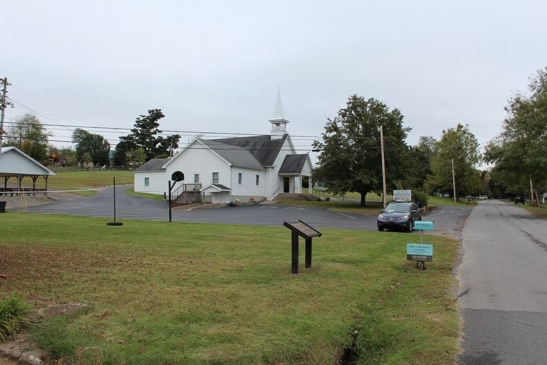
On Old Allen Springs Road at Bowling Green Road, on the right when traveling east on Old Allen Springs Road.
On W. Broadway Street (State Highway 70) at N. 1st Street, on the right when traveling west on W. Broadway Street.
On Fort Williams Way south of Cross Street, in the median.
Near Fort Williams Way south of Cross Street.
Near Fort Williams Way south of Cross Street, in the median.
On S. Race Street south of Main Street (Kentucky Highway 90), on the left when traveling south.
On U.S. 42 near Old Union Road, on the right when traveling west.
On Preston Highway (Kentucky Route 61) at Chapeze Lane (County Route 3219), on the right when traveling north on Preston Highway.
On Preston Highway (Kentucky Route 61) at Belmont Road (Kentucky Route 251), on the left when traveling north on Preston Highway.
On Main Street (Kentucky Route 434) west of South Poplar Street, on the left when traveling west.
On Preston Highway (Kentucky Route 61) at Old Preston Highway South (Kentucky Route 480c), on the left when traveling north on Preston Highway. Reported unreadable.
Paid Advertisement
On Banks Street south of Upper River Street, on the right when traveling south.
On Celina Road (Kentucky Route 61) 0.4 miles north of Cold Springs Road, on the right when traveling south.
On Norris Branch Road, 0.1 miles north of Glasgow Road (Kentucky Route 90), on the left when traveling north.
On Glasgow Road (Kentucky Route 90) at Roadside Spur Road, on the left when traveling west on Glasgow Road.
On Henry Street at Hodges Street, on the right when traveling east on Henry Street.
Near E. Court Street at S. Main Street.
On S. Depot Street at Henry Street, on the right when traveling south on S. Depot Street.
Near E. Court Street at S. Main Street.
On Dixie Highway East (U.S. 31W), on the right when traveling west.
On Dixie Highway West (U.S. 31W), on the right when traveling west.
On Main Street (Kentucky Route 835) at Dixie Highway (U.S. 60/31W), on the right when traveling west on Main Street.
On North Dixie Highway (U.S. 31W) at Morgan's Raiders Avenue, on the right when traveling north on North Dixie Highway.
On Charlie Downing Road north of Bragg Avenue, on the left when traveling north.
On Castle Highway (U.S. 421), on the right when traveling south.
On West Main Street (Kentucky Route 68) 0.1 miles east of West Walnut Street, on the left when traveling east.
On North Spalding Avenue (Kentucky Route 55) at Montgomery Court, on the left when traveling north on North Spalding Avenue.
Paid Advertisement
On North Depot Street at Martin Luther King Avenue, on the left when traveling north on North Depot Street.
On North Depot Street at Martin Luther King Avenue, on the right when traveling north on North Depot Street.
On Water Street, 0.1 miles east of Main Street, on the left when traveling east.
On Water Street, 0.1 miles east of Main Street, on the left when traveling east.
On East 4th Street (State Highway 163), on the left when traveling south.
On Otia-Blythe Road east of Turkey Neck Bend (Kentucky Route 214), on the left when traveling south.
On North 3rd Street (U.S. 150) north of West Brashear Avenue, on the left when traveling north.
On North 3rd Street (U.S. 31E/150) at Blackberry Alley, on the right when traveling north on North 3rd Street.
On West Center Street west of North Main Street (U.S. 31E), on the right when traveling west. Reported unreadable.
On Tebbs Bend Road, 0.5 miles west of Harley Road, on the left when traveling west.
On Tebbs Bend Road, 0.2 miles west of New Columbia Road (Kentucky Route 55), on the left when traveling west.
On Tebbs Bend Road, 0.2 miles west of New Columbia Road (Kentucky Route 55), on the right when traveling south.
On Tebbs Bend Road, 0.3 miles west of New Columbia Road (Kentucky Route 55), on the left when traveling west.
Near Lake Road, 0.6 miles east of New Columbia Road (Kentucky Route 55), on the right when traveling north.
On Tebbs Bend Road at Walters Road, on the left when traveling west on Tebbs Bend Road.
On Tebbs Bend Road, 0.4 miles west of New Columbia Road (Kentucky Route 55), on the right when traveling south.
Paid Advertisement
On Tebbs Bend Road, 0.1 miles east of Walters Road, on the right when traveling west.
On Tebbs Bend Road, 0.6 miles New Columbia Road (Kentucky Route 55), on the right when traveling south.
On Old Lebanon Road (Kentucky Route 289) at Pleasant Hill Church Road, on the right when traveling north on Old Lebanon Road.
On Tebbs Bend Road, 0.3 miles west of Harley Road, on the right when traveling west.
On Old Lebanon Road (Kentucky Route 289) at Pleasant Hill Church Road, on the right when traveling north on Old Lebanon Road.
On Campbellsville Bypass (Kentucky Route 210) north of Plantation Drive, on the left when traveling north.
On East Main Street at Justice Center Drive, on the right when traveling east on East Main Street.
On East Main Street at Justice Center Drive, on the right when traveling east on East Main Street.
On West Main Avenue, 0.4 miles north of Brownstock Road, on the left when traveling north.
On Nashville Road (U.S. 31W).
On Mackville Hill Road (Kentucky Route 152) at Mackville Elementary School Drive, on the right when traveling east on Mackville Hill Road. Reported unreadable.
On Lincoln Park Road (Kentucky Route 528) at East Main Street (Business U.S. 150), on the right when traveling north on Lincoln Park Road.
On East Main Street (Kentucky Route 152) east of Walnut Street (Kentucky Route 1584), on the left when traveling east.
On East Main Street west of East Ballard Street, on the right when traveling east.