THE HISTORICAL
MARKER DATABASE
“Bite-Size Bits of Local, National, and Global History”


23 entries match your criteria.  


Beckwourth Trail Historical Markers

Opened by Jim Beckwourth, the Beckwourth Trail was a significant trail that crossed the Sierra Mountains. Its main claim to fame was that it had the lowest elevation crossing of the mountains and was a much needed alternative to the difficult mountain crossings on the Carson and Truckee Trail routes. It departed from the Truckee Trail in present day Sparks, Nevada and headed west to Marysville, California.
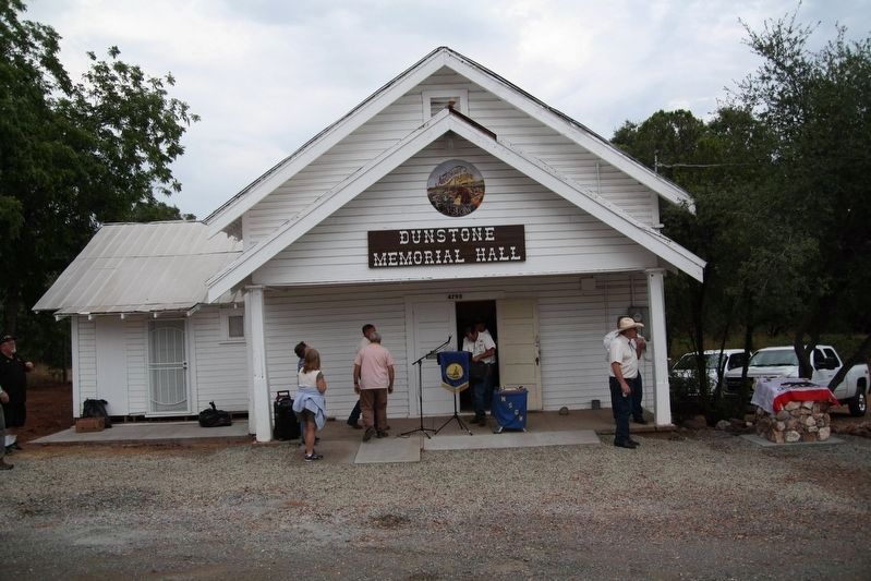
 
By James King, August 5, 2017
Dedication Day
1 ► California, Butte County, Wyandotte — 141-04 — Dunstone Memorial Hall —
2 ► California, Lassen County, Chilcoot-Vinton — B-7 — Beckwourth Trail - Long Valley —
3 ► California, Plumas County, Beckwourth — B-10 — Beckwourth Trail - Head Waters of Feather River —
4 ► California, Plumas County, Beckwourth — B - 11 — Beckwourth Trail – The Road Forks —
5 ► California, Plumas County, Beckwourth — James P. Beckwourth Ranch and Trading Post —
6 ► California, Plumas County, Beckwourth — Sierra Valley History —
7 ► California, Plumas County, Chilcoot — 336 — Beckwourth Pass — Emigrant Trail — Elevation 5221 —
8 ► California, Plumas County, Chilcoot — B-8 — Beckwourth Trail - Beckwourth Pass —
Paid Advertisement
9 ► California, Plumas County, Meadow Valley — B-35 — Beckwourth Trail – Grizzly Creek —
10 ► California, Plumas County, Meadow Valley — B-34 — Beckwourth Trail – Haskins Valley —
11 ► California, Plumas County, Meadow Valley — B 33 — Beckwourth Trail – Rich Valley —
12 ► California, Plumas County, Quincy — B-24A — Beckwourth Trail – American Ranch —
13 ► California, Plumas County, Quincy — B-24 — Beckwourth Trail – New England Ranch —
14 ► California, Plumas County, Quincy — Spanish Creek Mines —
15 ► California, Plumas County, Vinton — B-9 — Beckwourth Trail - Beckwourth Valley —
16 ► California, Yuba County, Marysville — HP-22/B-50 — Beckwourth Trail – Marysville / Henness Pass Road – Marysville — California Trail —
17 ► Nevada, Washoe County, Cold Springs — B-5 — Beckwourth Trail - Peavine Springs —
Paid Advertisement
18 ► Nevada, Washoe County, Reno — B-6 — Beckwourth Trail - White Lake —
19 ► Nevada, Washoe County, Reno — 256 — Historic Transportation From Honey Lake To Virginia City —
20 ► Nevada, Washoe County, Reno, North Valleys — B-4 — Beckwourth Trail - Golden Valley / Three Flags Highway —
21 ► Nevada, Washoe County, Sparks — B-2 — Beckwourth Trail - Over a Sage Plain —
22 ► Nevada, Washoe County, Sparks — T-20 — Truckee Trail - North Side of River / Beckwourth Trail - Truckee Meadows Ford —
23 ► Nevada, Washoe County, Sparks — T-20/B-1 — Truckee Trail - Truckee Meadows Ford —
 
 
CeraNet Cloud Computing sponsors the Historical Marker Database.
This website earns income from purchases you make after using our links to Amazon.com. We appreciate your support.
Paid Advertisement
Oct. 11, 2026
