On South Pierre Street south of East Capitol Avenue, on the left when traveling south.
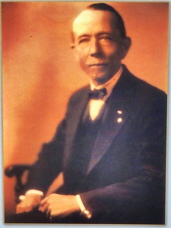
Charles L. Hyde devoted much time and energy to promoting the young town of Pierre. A true believer in the city, Hyde built five of the seven buildings in Pierre's historic commercial district along upper Pierre Street. The St. Charles Hotel was his . . . — — Map (db m124294) HM
On Pine Street west of Sherman Street (CanAm Highway), on the right when traveling east.
On October 21, 1911, U.S. President William Howard Taft delivered a 30 minute address from this location to a large crowd of spectators. President Taft's visit to Deadwood was one stop on a nationwide campaign tour across South Dakota and the . . . — — Map (db m183189) HM
On Church Street, 0.1 miles west of 4th Avenue North, on the left when traveling east.
On this site stood the Maxwell House Hotel built by John Overton in 1859. It was destroyed by fire on Christmas Day, 1961. After wartime use as a barracks, hospital and prison, it was formally opened as a hotel in 1869. Presidents Andrew Johnson, . . . — — Map (db m24145) HM
The Academic Building at Fisk University was designed by Nashville architect Moses McKissack and was made possible by a gift from philanthropist Andrew Carnegie. On May 22, 1908, William H. Taft, later 27th President of the United States, laid the . . . — — Map (db m4511) HM
On Depot Street east of South High Street, on the right when traveling east.
Columbia's Union Station Train Depot was built in 1902 by the Louisville & Nashville Railroad and opened in November 1903. Designed in a vernacular Romanesque style, it is one of the city's most imposing landmarks. The two-story brick and stone . . . — — Map (db m151171) HM
On South 2nd Street at Union Street, on the right when traveling south on South 2nd Street.
The Spur Line Park was conceived to preserve and enhance
a portion of a historic area within the city and interpret its unique
connection with rail and water transportation. The development of
railroad and river commerce was essential to . . . — — Map (db m122959) HM
On South 2nd Street (Tennessee Route 76) at Munford Avenue, on the right when traveling south on South 2nd Street.
Horace H. Lurton was a Confederate soldier, prisoner of war, lawyer, and the first president of the Farmers and Merchants National Bank. A member of the Tennessee Supreme Court, in 1893 he became its Chief Justice. Appointed by President Grover . . . — — Map (db m88881) HM
On Milam Street (State Highway 52 Spur), on the right when traveling north.
Site of projected capitol of
Stephen F. Austin's colony, 1823.
First settlement at this point shown on
Stephen F. Austin's map of 1835 as Montezuma.
The municipality of Colorado was created by the
provisional government of Texas . . . — — Map (db m130393) HM
On South Sante Fe Street (State Highway 375) at Montestruc Court, on the right when traveling south on South Sante Fe Street.
El Paso Laundry and Cleaners CompanyThe El Paso Laundry and Cleaners Company was established in 1891 and moved to this site in 1897. Strategically located alongside the Rio Grande just a few hundred yards from the streets of Ciudad Juarez, the . . . — — Map (db m60743) HM
On South El Paso Street, on the right when traveling north.
Pioneer Plaza was the center of public activity in early El Paso. A United States military guard was posted here in the late 1870s to defend citizens from Apache Indian attacks, and military bands performed in the plaza.
An irrigation ditch . . . — — Map (db m37807) HM
On Bay Street North at 14th Avenue North, on the right when traveling north on Bay Street North.
An increasing number of disturbances along Texas' Rio Grande border after Civil War broke out in Mexico in 1910 prompted U. S. President William Taft to consider increasing the U. S. Military presence in the area. Hugh B. Moore, Texas City . . . — — Map (db m150468) HM
On Travis Street at Pecan Street, on the left when traveling north on Travis Street.
In the 1870s, a joint stock company was organized to construct a hotel in Sherman. One of the largest stockholders was Judge C.C. Binkley, a community leader for whom the hotel would be named. Binkley was also president of the Merchants and . . . — — Map (db m73402) HM
On North Covington Street near Fancher Street, on the left when traveling north.
This depot was built to serve the Missouri-Kansas-Texas (Katy) Rail Line, which reached Hillsboro in 1881. Completed in 1902, the station features elements of the Eastlake, Victorian, and Prairie styles. Early MKT trains carried materials for the . . . — — Map (db m62900) HM
Zion was little visited by outsiders during the 19th Century. The region's isolation began to erode in 1908, when Deputy Surveyor Leo Snow mapped the upper Virgin River for the U.S. Department of the Interior. Snow's report was so persuasive that . . . — — Map (db m40420) HM
On College Street at Lake Street, on the right when traveling west on College Street.
In July 1609, Samuel de Champlain became the first European to set eyes on Lake Champlain. Three hundred years later, in July of 1909, communities around Lake Champlain celebrated the tercentenial of Champlain's expedition. Burlington marked the . . . — — Map (db m91649) HM
On Vermont Route 30 at Windham Hill Road, on the right when traveling south on State Route 30.
In 1799, Aaron Taft settled on a 100-acre farm on Taft Hill. His grandson, Alphonso, born here in 1810, served as Secretary of War and Attorney General under President Grant, and as Minister to Austria-Hungary and Russia. Alphonso’s son, William . . . — — Map (db m74472) HM
On North Washington Street (U.S. 29) at East Jefferson Street, on the right when traveling west on North Washington Street.
This property at 472 N. Washington St. was part of a 1729 land grant from Lord Fairfax to John Trammell. Developed only after half the original 248 acres was sold in 1865 to Isaac Crossman, and the Fairfax and Georgetown Turnpike (now Lee Highway) . . . — — Map (db m125860) HM
On North Washington Street (U.S. 29) at East Jefferson Street, on the right when traveling north on North Washington Street.
July 21, 1911 was the 50th anniversary of the 1861 Confederate victory at Bull Run (Manassas), the first major land battle of the Civil War. For the occasion President William Howard Taft left the White House with a four-car caravan to drive the . . . — — Map (db m125857) HM
Moses Myers (1753-1835) was a shipping merchant who came to Norfolk in 1787 from New York. He acquired this site in September 1791 and built his distinguished Federal town house in 1792. It was one of the early brick buildings to be constructed in . . . — — Map (db m35092) HM
On East Old Street at Rock Street, on the right when traveling east on East Old Street.
Petersburg’s architectural heritage has a long and rich history, reflecting centuries of occupation by Native Americans and over 300 years of European settlement. Beginning as a frontier trading post with the Virginia Indians, Fort Henry was . . . — — Map (db m175053) HM
On East Old Street at Rock Street, on the right when traveling east on East Old Street.
Blandford Church
Blandford Church was built in 1735 as the seat of worship for colonists who were members of the Anglican Church. The church building was abandoned in 1806 when membership in its congregation dwindled as a result of the . . . — — Map (db m57352) HM
On Lee Avenue at Grant Avenue (Business Virginia Route 234), on the right when traveling west on Lee Avenue.
In July, 1911, an amazing event took place here at Manassas, Virginia. The Manassas National Jubilee of Peace brought together Union and Confederate veterans fifty years after the first major battle of the Civil War. For the first time, veterans . . . — — Map (db m2469) HM
On Atlantic Avenue at Sicily Road on Atlantic Avenue.
Welcome to Fort Story, home to a variety of U.S. Army and Navy units. The installation's 1,451 acres are presently used for training by the Army's 7th Sustainment Brigade, Naval Amphibious forces and Special Operations forces. The post also serves . . . — — Map (db m79242) HM
On Atlantic Avenue just south of 14th Street, on the right when traveling south.
Born a slave and deprived of any early education, Booker T. Washington became America's foremost black educator of the 20th Century. He was the founder of the Tuskegee Institute where he championed vocational training as a means of self-reliance. A . . . — — Map (db m165889) HM
On East Wisconsin Avenue at North Jefferson Street, on the right when traveling west on East Wisconsin Avenue.
In this east-of-the-river locale then known as Juneautown, the first stage of development transformed a wilderness into a village—in less that a decade. The area was still swampy, rugged forest in the early 1830s. Solomon Juneau, Milwaukee’s . . . — — Map (db m56398) HM
On State Highway 259, 4.5 miles north of Exit 210 (Interstate 25), on the right when traveling north.
Teapot Rock is an outcropping of sandstone whose general outline resembles a teapot—though harsh weather has collapsed both handle and spout. Taking place nearby, the Teapot Dome Scandal “erupted like a gusher” in 1924, rocking . . . — — Map (db m92160) HM
On Officer's Row, 0 miles south of Mammoth Street, on the left when traveling south. Reported permanently removed.
In 1912, President Taft in a special message to Congress said:
"I earnestly recommend the establishment of a bureau of National Parks. Such legislation is essential to the proper management of those wonderful manifestations of nature, so . . . — — Map (db m123149) HM
127 entries matched your criteria. Entries 101 through 127 are listed above. ⊲ Previous 100