Lums Pond State Park
The pond has existed since 1735 when St. Georges Creek was dammed to power a sawmill. when the Lum family acquired the mill after 1809, they lent their name to the pond. Some twenty years later, Lums Pond provided water . . . — — Map (db m238407) HM
The Chesapeake and Delaware Canal offered easy passage between Philadelphia and Baltimore for both freight and passengers. By reducing the miles traveled between the two cities, the canal improved access to Pennsylvania's Susquehanna Valley and . . . — — Map (db m174515) HM
Made in Philadelphia 1839 for the Chesapeake and Delaware Canal Company, it was used as an air chamber for workmen to make underwater repairs on the lock gates. The canal was opened in 1829 and was operated until the sea level canal was opened at . . . — — Map (db m189476) HM
This earthbound rectangle of water before you was once the eastern gateway to the Chesapeake and Delaware Canal, one of four locks that regulated water depth along the canal to allow vessels to make the 14-mile journey between the Delaware River . . . — — Map (db m174502) HM
Welsh Tract Church
William Penn granted a 30,000 acre tract of land to three Welshmen, (David Evans, William Davis, and William Willis) in 1701. They and their followers had left southern Wales in search of religious freedom. In encouraging . . . — — Map (db m238425) HM
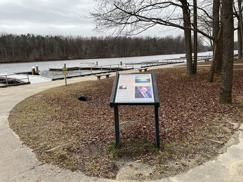
The majority of the United States population in the early 1800s resided in the Mid-Atlantic area north and south of Delaware. Travelers along the east coast from higher populated areas such as New York and Philadelphia had to pass through . . . — — Map (db m238429) HM
If you are just "passing through" or are a new resident or even a life-long Delawarean, we hope to spark your interest in the varied activities available in the Pencader Hundred Area. Whether your are experiencing these for the first time or . . . — — Map (db m156918) HM
What is Milling?
Milling is a process of taking whole bulbs, tubers, nuts, seeds, grains or other foods from its original size to a smaller size by pounding, grinding or rolling it until it is the consistency of a meal, flour or powder. . . . — — Map (db m156797) HM
The Pencader Heritage Museum and Research Center highlights artifacts that reflect life in Pencader Hundred from the Colonial Era through the Afghanistan War. Our rotating displays reveal the rich heritage to be found in this area. We have items of . . . — — Map (db m156798)
Welsh Tract Church
William Penn granted a 30,000 acre tract of land to three Welshmen, (David Evans, William Davis, and William Willis) in 1701. They and their followers had left southern Wales in search of religious freedom. In encouraging . . . — — Map (db m238421) HM
The W.B. & J.S. Zacheis, Inc. cannery operation stood across the street from the schoolhouse from the early 1900s until after World War II. When the Chesapeake and Delaware Canal and the railroad diverted most commercial shipping away from the . . . — — Map (db m10396) HM
In 1834, Joseph Cleaver built this house near the river and what was then the region's biggest port. He called it Linden Hall. As one of Port Penn's best-known merchants, he hoped to dominate the trade between the Delaware River and the farmlands . . . — — Map (db m10388) HM
A native and lifelong resident of this area, Samuel Paynter was born at Drawbridge on the Broadkill River on August 24, 1768. He was a successful merchant, farmer, and mill-owner, whose prosperity was closely linked to the commerce of the river. . . . — — Map (db m37562) HM
A bubbling stream to hide their tracks. A boat upriver toward hope. Chesapeake waterways were vital to the Underground Railroad, a secret network of routes used to escape slavery. The same waters that carried captured Africans into ports for sale . . . — — Map (db m234755) HM
The town of Cecilton owes its existence to Augustine Herman, a 1633 immigrant to America. A wealthy merchant, diplomat, cartographer, and explorer, he also proposed the creation of the Chesapeake and Delaware Canal a century before it was . . . — — Map (db m155453) HM
Formerly known as the “Village of Bohemia,” Chesapeake City owes its existence to the Chesapeake and Delaware Canal.
From the time work began on the canal in 1824, the village became a hub of activity and a thriving port, creating a . . . — — Map (db m145256) HM
(Side one) This is the liftwheel pumping plant of the original Chesapeake & Delaware canal. From 1837 to 1927 its engines provided water for navigation between Chesapeake City, Maryland and Delaware City, Delaware.
The canal was purchased in . . . — — Map (db m145166) HM
This tablet is erected by the proprietors of the Chesapeake and Delaware Canal, to commemorate its completion on the 17th of October, 1829; and to stand as a testimonial of their gratitude to James C. Fisher, President, and Thomas P. Cope, John . . . — — Map (db m145167) HM
Would you believe that the impressive stretch of water before you was once a creek?
As early as the 17th century, settlers to the New World realized that the nation’s growth would depend upon transportation of goods by land and water. . . . — — Map (db m144763) HM
Would you believe that the impressive stretch of water before you was once a creek?
As early as the 17th century, settlers to the New World realized that the nation's growth would depend upon transportation of goods by land and water. . . . — — Map (db m189390) HM
Water. The Chesapeake Bay and its tributaries weave the tapestry that is Chesapeake Country.
Land. Agriculture and pristine natural resources areas accentuate our rural character.
History. Historic buildings, churches and . . . — — Map (db m199219) HM
Water The Chesapeake Bay and its tributaries weave the tapestry that is Chesapeake Country.
Land Agriculture and pristine natural resource areas accentuate our rural character.
History Historic buildings, churches, and landscapes are . . . — — Map (db m80828) HM