20 entries match your criteria.
Historical Markers in Ulster
By William Fischer, Jr., September 18, 2012
Grianan Ailligh / Grianán Ailigh and Marker
| 1 ► Ireland, Ulster, County Donegal, Burt — Grianan Ailligh / Grianán Ailigh — |
| 2 ► Ireland, Ulster, County Donegal, Carrick — Carrick / An Charraig — |
| On R263 just west of Teelin Road, on the right when traveling west. | |||
| 3 ► Ireland, Ulster, County Donegal, Donegal — "The Frenchman's Anchor" — |
| On Quay Street, on the left when traveling north. | |||
| 4 ► Ireland, Ulster, County Donegal, Donegal Town — Donegal Castle — |
| 5 ► Ireland, Ulster, County Donegal, Donegal Town — 6 — Donegal Castle / Caisleán Dhún na nGall — |
| On Tirchonaill Street just north of Bridge Street (R925), on the right when traveling south. | |||
| 6 ► Ireland, Ulster, County Donegal, Donegal Town — Donegal Friary / Mainistir Dhún na nGall — |
| 7 ► Ireland, Ulster, County Donegal, Donegal Town — 175 — The Franciscan Friary of Donegal — |
| 8 ► Ireland, Ulster, County Donegal, Letterkenny — Gallaghers Cottage — |
| On Port Road (National Road 14) at Neil T. Blaney Road, on the left when traveling west on Port Road. | |||
| 9 ► Ireland, Ulster, County Donegal, Letterkenny — George Murbury — |
| 10 ► Ireland, Ulster, County Donegal, Letterkenny — The Cathedral Square — |
| On Church Lane at Castle Street, on the right when traveling west on Church Lane. | |||
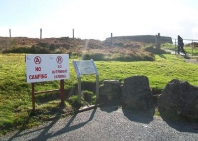
| 11 ► Ireland, Ulster, County Donegal, Slieve League — Chough / Cág Cos-dearg — Pyrrhocorax pyrrhocorax — Walking Through Donegal / Ag Siúl Tríd Dhún na nGall — |
| 12 ► Ireland, Ulster, County Donegal, Slieve League — Farming on Sliabh Liag / Feirmeoireacht ar Shliabh Liag — Walking Through Donegal — Ag Siúl Tríd Dhún na nGall — |
| 13 ► Ireland, Ulster, County Donegal, Slieve League — Fishing /Iascaireacht — Walking Through Donegal — Ag Siúl Tríd Dhún na nGall — |
| 14 ► Ireland, Ulster, County Donegal, Slieve League — Signal Towers / Túir Comharthaíochta — Walking Through Donegal — Ag Siúl Tríd Dhún na nGall — |
| 15 ► Ireland, Ulster, County Donegal, Slieve League — The Bog / An Portach — Walking Through Donegal — Ag Siúl Tríd Dhún na nGall — |
| 16 ► Ireland, Ulster, County Monaghan, Clones — Clones Round Tower, Cross and Church — Cros, Eaglais agus Cloigtheach Chluain Eois — |
| On Fermanagh Street just north of Monaghan Street (National Road 54), on the right when traveling south. | |||
| 17 ► Ireland, Ulster, County Monaghan, Clones — High Cross / Ardchros Cluain Eois — Clones - Historic Town / Cluain Eois, Baile Scairiúil — |
| On Fermanagh Street just north of Monaghan Street (National Road 54), on the right when traveling south. | |||
| 18 ► Ireland, Ulster, County Monaghan, Clones — Remains of St Tiernach — |
| 19 ► Ireland, Ulster, County Monaghan, Clones — Round Tower / Cloigtheach Chluain Eois — Clones - Historic Town / Cluain Eois, Baile Scairiúil — |
| On Ball Alley just west of McCurtain Street (R212), on the left when traveling west. | |||
| 20 ► Ireland, Ulster, County Monaghan, Clones — The Sarcophagus / Sarcofagas Thighearnaigh Naofa — Clones - Historic Town / Cluain Eois, Baile Scairiúil — |
| On Ball Alley just west of McCurtain Street (R212), on the left when traveling west. | |||