When Lewis learned that Clark had found the Salmon River un-navigable, buying more horses became a top priority. He'd already bought fifteen, but he needed twice that many to carry the Expedition's baggage.
But enemy raiders had stolen many Lemhi . . . — — Map (db m109441) HM
The Corps of Discovery were the first U.S. citizens to reach the Northwest by land, strengthening the American claim established in 1792 when mariner Robert Gray discovered the Columbia River.
When Lewis unfurled the Stars and Stripes, he made . . . — — Map (db m109463) HM
Lewis and Clark fans love the sturdy the overland portion of the Trail in Montana and Idaho. There's little question about the route on the Missouri or Columbia rivers, but the mountains present challenges to explorers then and now.
The evidence . . . — — Map (db m109478) HM
At the Lemhi Shoshone camp Lewis learned of the danger and hunger that threatened the tribe. He asked the chief about routes west, but Cameahwait's descriptions were discouraging: rocky rivers, deep canyons, terrible mountains.
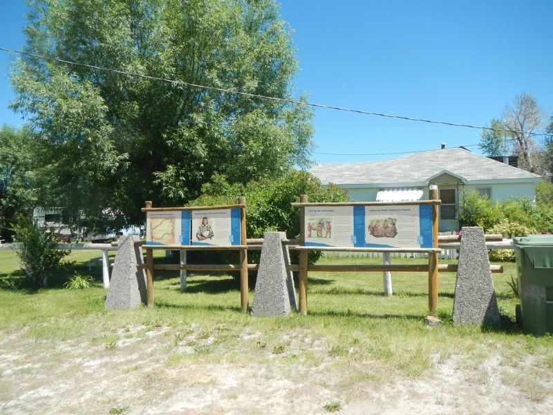
Lewis proposed an . . . — — Map (db m109459) HM
Lewis's advance party entered the valley below in search of the Lemhi Shoshone, whose horses the Expedition would need to cross the mountains. The first Indians Lewis saw fled before he could reach them, but he soon came upon three women. When Lewis . . . — — Map (db m213343) HM
(Two panels share a common support.)
Meriwether Lewis identified, described and collected plants that were new to science and observed how the Shoshone used local plants. These species can be found in this area:
• Syringa or Mock . . . — — Map (db m109584) HM
There are many stories about the young Indian woman who accompanied the Lewis and Clark Expedition.
As time goes on, Sacajawea continues to inspire our admiration and curiosity. People delight in the stories of Sacajawea. These stories continue . . . — — Map (db m109480) HM
Lewis and Clark gave Sacajawea a miracle: a return home for the first time since her kidnapping several years earlier. She gave them as much: a Lemhi Shoshone interpreter and an advocate for the Expedition in buying Lemhi horses.
It was a . . . — — Map (db m109445) HM
Was the Salmon River as treacherous as Cameahwait, the Lemhi Shoshone chief, had said? Clark and eleven men had come to find out. Finding a navigable, westward-flowing river was the major objective of the Expedition at this time.
Clark stayed . . . — — Map (db m231270) HM
On May 27, 1806, Sgt. John Ordway and Pvts. Frazer and Weiser were dispatched from Camp Chopunnish (Kamiah) to Lewis’ River (Snake River) to obtain salmon. Guided by Nez Perce Indians, the men crossed the Camas Prairie near here. On May 29, at a . . . — — Map (db m121213) HM
The Lolo Trail winds its way along ridges of the Bitterroot Mountains from the Weippe Prairie in Idaho to the Bitterroot Valley at Lolo Montana.
This ancient travel route had served as a “Land Bridge” for a continental trade system used . . . — — Map (db m109776) HM
On their eastbound journey, the Corps of Discovery and several Nez Perce reached the Nezperce Prairie from present-day Peck on May 8, 1806, and camped on "a Small hansom Stream".
On May 9 the party arrived at the root-digging camp of . . . — — Map (db m140898) HM
Beaver Dick
This park is named for “Beaver Dick, “ a mountain man of late fur trade days, who lived on in this locality until 1899.
He was born in England, and his real name was Richard Leigh. He came west as a trapper, but the . . . — — Map (db m103902) HM
No Tents?
By the time members of the Lewis & Clark Expedition reached the Snake River, their night-time shelter consisted of buffalo robes and other skins.
They left St. Louis with tents of oiled canvas, but by the summer of 1805, those . . . — — Map (db m110578) HM
Seasonal Migrations
The Nimi’ipuu migrated throughout the region of the Snake River and its tributaries.
They traveled seasonally to take advantage of the food sources: camas bulbs, berries, deer, elk, bear, and salmon.
Their mobility . . . — — Map (db m110541) HM
”This river is remarkably clear and crowded with salmon in maney places…
Salmon may be seen at the depth of 15 or 20 feet…
The number…
Is remarkable to say.”
~Captain Wm. Clark
The Nimi’ipuu relied upon . . . — — Map (db m110687) HM
Lewis and Clark camped on the North Bank of Lewis's or Snake River October 10, 1805
Erected October 1955
by Alice Whitman Chapter D.A.R. — — Map (db m23267) HM
The first white men to cross this country and reach the Pacific Ocean via Lolo Pass and present site of Lewiston. They came and returned the way that leads you are now on the Lewis and Clark Highway along the Clearwater River - the . . . — — Map (db m121815) HM
This scenic route commemorates the Lewis and Clark expedition’s quest for a watercourse through the Rocky Mountains connecting the Missouri and Columbia rivers.
The byway parallels the explorers' journey through the ancestral Nez Perce homeland in . . . — — Map (db m109726) HM
“…one canoe in which Sergt. Gass was Stearing
And was nearle turning over, she Sprung
A leak or Split open on one side and
Bottom filled with water & Sunk on the rapid…”
~Captain Wm. Clark,
October 8, . . . — — Map (db m110634) HM
Petroglyphs
The earliest ‘writings’ along the Snake River were petroglyphs carved into the rocks.
At the Buffalo Eddy and Captain John sites, located 20 miles upriver from here, some of the petroglyphs are four to six thousand years . . . — — Map (db m110688) HM
This park memorializes the Pacific Northwest's most successful French Canadian fur trapper, for whom this city and county are named.
In 1812, he came from Quebec to the Columbia at the age of 18. Moving inland to the Snake country in 1818, . . . — — Map (db m119320) HM
With a grubstake of one jackass and $18.75 worth of flour, bacon, and beans, Noah Kellogg came here prospecting in 1855.
Not far from here, his jackass strayed away. Kellogg finally found his wandering burro grazing on a tremendous . . . — — Map (db m122876) HM
Discovered this valley in 1808 while exploring the Yellowstone and Upper Snake country in search of beaver.
Setting out all by himself with it gun and a 30 pound pack he tried to get the Indians to join in his trapping business. On his . . . — — Map (db m108352) HM
When John C. Fremont came this way mapping emigrant roads in 1843, he found an important Indian village at Fishing Falls (Kanaka rapids) about 4 miles above here. He reported that native salmon spearers there were "unusually gay...fond of laughter; . . . — — Map (db m31652) HM
(Three panels are found at the Shoshone Falls kiosk:)
The Niagara of the West The Discovery of Shoshone Falls
No one knows the first non-native person to set eyes upon them. The Wilson Hunt expedition of fur trappers passed through . . . — — Map (db m125458) HM
126 entries matched your criteria. Entries 101 through 126 are listed above. ⊲ Previous 100