By Duane and Tracy Marsteller, June 28, 2021
Safety at Yaquina Bay Today Marker
| On Yaquina Bay State Park, 0.2 miles west of U.S. 101, on the left when traveling east. |
| Near Southeast Marine Science Drive, on the right when traveling west. |
| Near Northwest Lighthouse Drive west of Oregon Coast Highway (U.S. 101). |
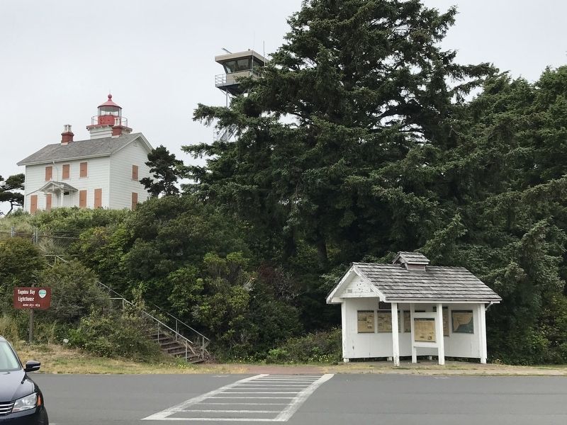
| On SW Naterlin Drive east of Oregon Coast Highway (U.S. 101), on the right when traveling east. |
| On Yaquina Bay State Park Road west of Oregon Coast Highway (U.S. 101), on the left when traveling north. |
| On Washington Street East (U.S. 26) at Short Street North, on the right when traveling west on Washington Street East. |
| Near Interstate 5 at milepost 281,, 1 mile south of Miley Road, on the right when traveling north. |
| On Columbia River Highway (Interstate 84 at milepost 23), 8.6 miles west of Rooster Rock Park West-bound on ramp, on the right when traveling west. |
| Near Historic Columbia River Highway west of East Knieriem Road, on the right when traveling west. |
| On Rooster Rock Park (Interstate 84) near Interstate 84. |
| On Historic Columbia River Highway, 3.3 miles east of Bridal Veil, on the right when traveling east. |
| On Northwest Saint Helens Road (Route 30) 0.1 miles south of Northwest King Road, on the right when traveling north. |
| On Biggs-Rufus Highway (Oregon Route 206) 0.2 miles east of Moody Road (County Road 143), on the right when traveling west. |
| On U.S. 101 near Bayview Forest Road, on the left when traveling north. |
| On U.S. Highway 101 (U.S. 101) at 2nd Street, on the right when traveling north on U.S. Highway 101. |
| On Oregon Coast Highway (U.S. 101) near Meadow Loop, on the left when traveling north. |
| On Oregon Coast Highway (Route 101) near Meadow Loop, on the left when traveling north. |
| Near Cape Meares Lighthouse Drive west of Bayshore Drive when traveling west. |
| On Marina Drive near Hat Rock State Park Road. |
| On Devore Road north of 6th Street (U.S. 730), on the left when traveling north. |
| On Devore Road north of 6th Street (U.S. 730), on the left when traveling north. |
| Near Historic Columbia River Highway (U.S. 30) 3 miles east of Interstate 84, on the left when traveling east. |
| Near Historic Columbia River Highway (U.S. 30) east of Historic Columbia River Highway (U.S. 30). |
| Near Historic Columbia River Highway (U.S. 30) east of Historic Columbia River Highway (U.S. 30). |
| On Oregon Route 206 near Interstate 84. |
| On Federal Street at 2nd Street (East Little Trail), on the right when traveling south on Federal Street. |
| Near Oregon Route 206 near Interstate 84, on the right when traveling west. |
| On East 2nd Street (U.S. 30) east of Laughlin Street, on the right when traveling west. |
| On West 1st Street near Union Street, on the right when traveling west. |
130 entries matched your criteria. Entries 101 through 130 are listed above.
⊲ Previous 100