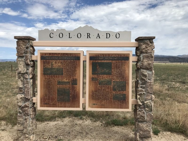
On U.S. 50 0.2 miles east of Phantom Canyon Road (County Road 67), on the right when traveling west. Reported damaged.
When Colorado Territorial Prison opened in June 1871 just west of Cañon City, it drew a mixed reception from law-abiding locals — some daunted by the possibility of felons on the loose, others eager for the jobs and services that came with the . . . — — Map (db m152997) HM
On South 4th Street 0.2 miles south of Highland Avenue, on the right when traveling south.
Built in 1906 with native stone, the Prospect Heights jail was the only municipal building in town. It was constructed to incarcerate disorderly people who frequented the numerous area saloons. In response to a 1901 law suspending all liquor . . . — — Map (db m281700) HM
On U.S. 50 0.2 miles east of Phantom Canyon Road, on the right when traveling west. Reported damaged.
Florence Oil Field
Alexander Cassidy dug a twenty-three-foot-deep oil well near here in 1862, making this Colorado's first oil-producing region. Cassidy and others spent nearly two decades plumbing the hollows and seeps, sure that a major . . . — — Map (db m152994) HM
On Main Street just west of North 6th Street, on the right when traveling west.
In 1868 Cañon City residents began building a penitentiary for the Colorado Territory. The 40-cell prison opened to receive convicts in June 1871. By 1899, the penitentiary housed about 400 inmates. Before a wall was built around the prison, . . . — — Map (db m281694) HM
On North 5th Street just south of Macon Avenue, on the right when traveling south.
General Jos. H. Maupin (1856-1929) was responsible for construction of this building — done in two phases from 1903-1907. His name is inscribed at the northeast corner along with another inscription just above — “The Post Office Block.” The Post . . . — — Map (db m281697) HM
On South 3rd Street 0.1 miles south of Royal Gorge Boulevard (U.S. 50), on the right when traveling south.
Railroads have been essential to the growth of Cañon City. Trains brought people and materials into the region and carried local products to market. Most importantly, the railroads supported the mining industry. Worth Fighting Over . . . — — Map (db m281899) HM
On South 4th Street at Main Street, on the right when traveling north on South 4th Street.
Raynolds-McGee Block (1883) Construction of this two-story Gothic Revival building was completed in 1883. Frederick A. Raynolds owned the east half which housed the Fremont County Bank. William B. McGee owned the west half, occupied . . . — — Map (db m281698) HM
[Side A:]
Rainbow Route
Completion of this road opens up a scenic paradise unequalled in any other state of the Union and unsurpassed by the scenic gems of the Wild West.
Governor George A. Carlson on the opening of the . . . — — Map (db m55639) HM
On Main Street east of South 4th Street, on the right when traveling east.
This region is called the "Banana Belt of Colorado” for a reason. The climate is milder here year round than most counties in the state. Good weather creates the best environment for farming and raising livestock to feed the local economy. . . . — — Map (db m153091) HM
The Colorado State Penitentiary, "Old Max," opened in 1871 as part of the federal prison system when Colorado was still a territory. It was built by convicts using stone quarried and cut on-site. In 1876 when Colorado achieved statehood, " Old Max" . . . — — Map (db m141395) HM
On West Main Street (State Highway 115) at North Pikes Peak Avenue (State Highway 67), on the right when traveling east on West Main Street.
Farmers found the soil in Eastern Fremont County to be rich and fertile and perfect for growing a variety of crops. The first successful orchardist was "Uncle Jesse” Frazer. He came to Colorado during the Pikes Peak Gold Rush and found no gold . . . — — Map (db m153161) HM
On Church Avenue (Colorado Route 115) at West 2nd Street, on the right when traveling north on Church Avenue.
This memorial is the property
of the State of Colorado
The City of Florence
and Fremont County, Colorado owe much of their growth and development to the building and operation of the Florence and Cripple Creek . . . — — Map (db m250678) HM
On State Highway 9 0.3 miles south of County Road 670, on the left when traveling south.
The Utes For many centuries, Hoosier Pass served as a link between two important Ute hunting grounds — South Park and Middle Park — the heart of the tribe's mountain domain. By the 1400s or 1500s these hunter-gatherers occupied territory from . . . — — Map (db m282086) HM
On Garden Park Road (County Road 9), on the left when traveling north.
Site of the first oil well in the west?
Second place in the United States to
produce petroleum from the wells.
In 1862, just across the stream from
this point, A. M. Cassidy drilled an
oil well fifty feet deep. By February,
1863, . . . — — Map (db m281130) HM
On West 3rd Street (Colorado Route 115) west of Washington Avenue, on the right when traveling west.
This Memorial is the
Property of the State of Colorado
In Florence and surrounding area
was developed the first recognized oil
field west of the Mississippi River, as
a result of the discovery of oil by
A.M. Cassidy in . . . — — Map (db m232226) HM
Thin black lines indicate changes in relevance. Between each pair of lines entries are ordered geographically but all have the same relevance.
* Inflectional forms of words are their plurals, singulars, and possessives as well as gramatical tenses and similar variations.