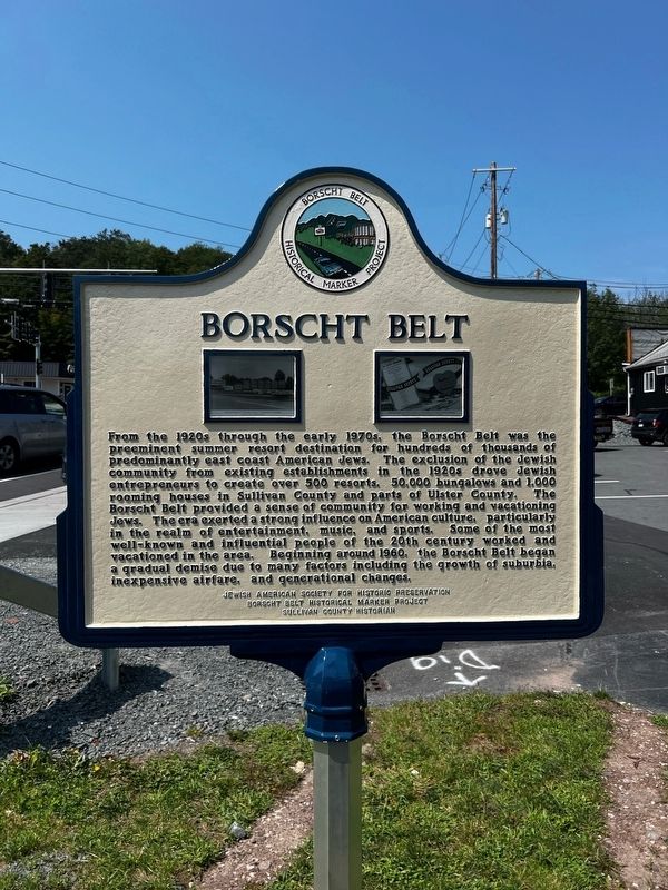
Borscht Belt Historical Marker Project Historical Markers
This series is for the 20+ historical markers put out by the Borscht Belt Historical Marker project. For more information, see:
Borschtbelthistoricalmarkerproject.org
On Old Falls Road near Route 42, on the right when traveling north.
Borscht Belt - Fallsburg
The story of the tourism industry in Sullivan County, particularly in the Town of Fallsburg, is vast and vibrant. Fallsburg was a major hub of the Borscht Belt. This segment of Route 42, known as "Hotel Row," led to . . . — — Map (db m231203) HM
On Railroad Avenue at Main Street, on the right when traveling west on Railroad Avenue.
"I was there in the glory days of the Catskills and the audiences were tough and demanding.
They really sharpened your act. It was do or die. No Borscht Belt, No Mel Brooks." - Mel Brooks
During Sullivan County's Silver Age . . . — — Map (db m252055) HM
On Swan Lake Road (New York State Route 55) just north of Lake Street, on the right when traveling south.
Borscht Belt - Bethel
Sullivan County tourism began in Bethel in the 1840s when the White Lake House and White Lake Mansion House were built for gentile guests. By the 1920s, over 50 Jewish hotels such as New Empire, Kenmore, and Woodlawn . . . — — Map (db m255414) HM
On Sullivan West High School 6604 NY-52, on the left when traveling north.
West Sullivan County
Western Sullivan County—part of the broader Borscht Belt region—includes Callicoon, Fosterdale, Kenoza Lake and Lake Huntington. These communities became crossroads where Jewish, Black, Italian, and Polish families . . . — — Map (db m310303) HM
On Ferndale Road west of Old Route 17, on the right when traveling west.
Borscht Belt - Ferndale
Once a favored tourist stop on the O&W Railway, the hamlet of Liberty
Falls changed its name to Ferndale in 1901. To avoid the stigma linked to
Liberty's tuberculosis sanitaria, the hamlet adopted the name of the . . . — — Map (db m304359) HM
On Pearl Street at Main Street, on the left when traveling north on Pearl Street.
Borscht Belt – Livingston Manor
During the Borscht Belt’s Golden Age (1940-1965), Livingston Manor was home to about 41 hotels and 12 bungalow colonies. In an area largely dominated by family hotels, some destinations were designed for . . . — — Map (db m286561) HM
On Old Route 17, on the left when traveling north.
In the early 20th century, Livingston Manor was a community of farms, bowling pins, tanning, and acid factories. Max Schwartz was the first Jewish Settler followed by a wave of Jewish families that
became merchants and shop owners. They . . . — — Map (db m230329) HM
On New York 52 at Loch Sheldrake Hurleyville Road, on the left when traveling north on New York 52.
Borscht Belt - Loch Sheldrake
Originally Sheldrake Pond, Loch Sheldrake had about 48 hotels such as Brown's, Edgewood, Evans, Holiday, Karmel, New Roxy, Riverside Hotel, Shady Nook and about 36 bungalow colonies including Kushners, . . . — — Map (db m279040) HM
On Broadway (New York State Route 42) near Prince Street, on the right when traveling east.
During the heyday of the Borscht Belt, Monticello had about 65 hotels and 133 bungalow colonies. Kutscher's Country Club was known for its sports and entertainment scene. It hosted Muhammad Ali, while additional boxers trained at other hotels. . . . — — Map (db m223722) HM
This property was once part of the Concord Hotel. The largest Borscht Belt Hotel, the Concord boasted 1,200 guest rooms, a football-field sized dining room, a 3,000-seat theater called the Imperial Room, a "Monster" golf course, and many . . . — — Map (db m248709) HM
On Post Hill Road, on the left when traveling north.
Borscht Belt - Mountain Dale
The arrival of the New York and Oswego Midland Railroad in 1871 opened Mountain Dale to tourism and influx of Jewish immigrants. This transformed the rural farming hamlet, originally known as Sandburg, into a . . . — — Map (db m230794) HM
On Stewart Avenue at Railroad Avenue, on the right when traveling north on Stewart Avenue.
Roscoe marks the northwestern edge of Sullivan County, where the
Willowemoc and Beaverkill Rivers meet. A gateway between the Catskills’
fishing country and the resort corridor to the south, Roscoe became a hub
for artists, nature lovers, . . . — — Map (db m305532) HM
Borscht Belt - South Fallsburg
Once referred to as the "King of the Catskills," South Fallsburg was home to a vast selection of hotels and bungalow colonies for those seeking community, leisure, and entertainment. Originally boosted by . . . — — Map (db m246962) HM
On U.S. 209 near Summitville Road, on the left when traveling north.
In Mamakating, the communities of Wurtsboro, Spring Glen, and Highview formed the Borscht Belt’s southeastern gateway. Shaped by the “Liberty Highway,” which evolved into Route 17, Wurtsboro grew into a travel hub. Hotels such as the Shawanga Lodge . . . — — Map (db m314564) HM
On Briscoe Road, on the right when traveling west.
Borscht Belt - Swan Lake
Swan Lake boasted some of the most iconic vacation destinations during the Borscht Belt's "Golden Age" of the 1920s-1970s, many built by Jewish proprietors Henry Siegel and Jacob Kretchmer. Originally . . . — — Map (db m231202) HM
Borscht Belt - Woodbourne
Woodbourne dates to the 19th century as a farm community. Farmers began taking in boarders after the opening of the O&W Railroad in 1873. By the 20th century, the hamlet was a hub for kuchaleins. Yiddish for “cook . . . — — Map (db m282671) HM
On Green Avenue at Maple Avenue, on the left when traveling west on Green Avenue.
Borscht Belt - Woodridge
First incorporated in 1911 and known as Centreville, Woodridge had early roots as an agricultural community with farms and boarding houses. Officially named Woodridge by 1917, it had five Jewish-owned-and-operated . . . — — Map (db m255413) HM
On Center Street at Childs Street, on the left when traveling east on Center Street.
An eastern gateway to the Borscht Belt, Ellenville has attracted visitors since the 19th century. In 1901, the Slutsky family opened the Nevele and Fallsview hotels. Both offered a picturesque valley setting, waterfall, and extensive amenities. The . . . — — Map (db m273698) HM
On New York State Route 52 near Oak Ridge Road, on the left when traveling west.
Greenfield Park & Ulster Heights are two of many Catskill communities evocative of Eastern Europe. For Ashkenazi Jews arriving in the early 20th century, its forests, hills, and farms were reminiscent of the countrysides in which they once lived. . . . — — Map (db m273684) HM
On New York State Route 52, on the right when traveling south.
Catskills region of over 500
resorts known as vacation destination for American
Jews beginning ca. 1899. This road gateway to their locations. — — Map (db m285380) HM