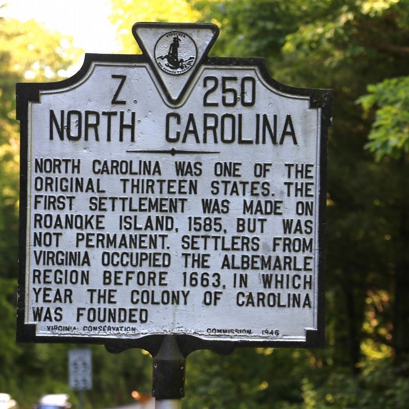
By J. J. Prats, June 9, 2017
North Carolina Face of Marker
RANKED BY RELEVANCE
| On Skyline Highway (Virginia Route 89) 0.7 miles south of Blue Ridge Parkway at the state line, on the right when traveling south. |
| On State Highway 16 0.1 miles north of Charles Spencer Road (County Route 1534), on the right when traveling north. |
| On East Main Street (U.S. 58) at North Independence Avenue (U.S. 21), on the left when traveling west on East Main Street. |
| On Davis Street (Virginia Route T 1101) at Courthouse Street ( Route T 1137), on the left when traveling west on Davis Street. |
| On Falls of Rough Road (State Road 79) at Robinson Road, on the right when traveling south on Falls of Rough Road. |
| On Carnifex Ferry Crossing (County Route 23) 1 mile south of Summersville Lake Road (West Virginia Route 129), on the right when traveling south. |
| On Danville Pike / East Stuart Drive (Old U.S. 58) just west of Snake Creek Road (County Route 670), on the right when traveling west. |
| On Greenville Road (Virginia Route 640) at Justice Road ( Route 634), on the right when traveling west on Greenville Road. |
| Near Taylor Street 0.1 miles north of 4th Street, on the right when traveling south. |
| On Highlands Parkway (U.S. 58) at Grayson Highland Lane, on the right when traveling west on Highlands Parkway. |
| On Grayson Parkway (U.S. 58/221) at Forestry Lane (Wild Turkey Lane), on the right when traveling west on Grayson Parkway. |
| On East Main Street (U.S. 58) at North Independence Avenue (U.S. 21), on the right when traveling west on East Main Street. |
| On Council Mountain Road at Ball Branch Road ( Route 80), on the right when traveling north on Council Mountain Road. |
| On East Main Street (U.S. 58) at Morton Drive, on the right when traveling west on East Main Street. |
| On East Main Street (U.S. 11) west of South Chestnut Street, on the right when traveling east. |
| On Pine Street at North State Line Avenue, on the left when traveling south on Pine Street. |
| Near RC Vaughan Road north of West Loy Lake Road, on the right when traveling north. |
| On Ivanhoe Road (Virginia Route 94) south of Hilltown Road (County Road 758), on the left when traveling south. |
| On West Stuart Street west of North Jefferson Street, on the right when traveling east. |
| On HIghlands Parkway (U.S. 58) close to Old Park Road (County Route 754), on the right when traveling west. |
| On Grayson Turnpike (U.S. 21) just north of Forest Road 57, on the left when traveling south. |
| On Central Avenue west of South 5th Street, on the right when traveling west. |
| On Grayson Street (Farm to Market Road 996) at Texas Street on Grayson Street. |
| On Elliott Cemetery Road 0.5 miles east of Farm to Market Road 121. |
| On Houston Street (State Highway 56) at Travis Street, on the left when traveling west on Houston Street. |
| Near East Stuart Drive (U.S. 58/221) west of Stockyard Road, on the right when traveling west. |
| On East Main Street (U.S. 58) at North Independence Avenue (U.S. 21), on the right when traveling west on East Main Street. |
| On North Independence Avenue (U.S. 21) at Davis Street ( Route T 1101), on the left when traveling south on North Independence Avenue. |
| On Rosenwald Felts Drive 0.1 miles north of Calloway Street, on the left when traveling north. |
| On Interstate 30 Frontage Road 0.2 miles west of Division Street, on the right when traveling west. |
Thin black lines indicate changes in relevance. Between each pair of lines entries are ordered geographically but all have the same relevance.* Inflectional forms of words are their plurals, singulars, and possessives as well as gramatical tenses and similar variations.
Nov. 13, 2026
