By Patrick G. Jordan, June 27, 2010
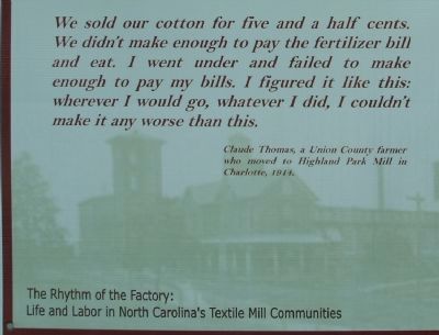
The Rise of the Textile Mill Communities Marker
RANKED BY RELEVANCE
| On Glencoe Street, on the left when traveling west. |
| On Jeb Seagle Drive at Linwood Drive, on the left when traveling west on Jeb Seagle Drive. |
| Near Park Road, on the right when traveling east. |
| Near Park Road, on the right when traveling east. |
| On North Main Street (State Road 7) at Catawba Street, on the right when traveling south on North Main Street. |
| On N Gaston St. (County Route 2278). |
| On North Cedar Street near East Pine Street. |
| On East North Street at Broad Street, on the left when traveling east on East North Street. |
| On Polkville Road (State Highway 226) at Mt. Harmony Church Road (County Road 1379), on the right when traveling north on Polkville Road. |
| On Spring Street, on the right when traveling west. |
| Near South Hightower east of South Center Street (Georgia Route 3), on the left when traveling west. |
| On State Highway 73 at North Ingelside Farm Road (County Highway 1383), on the right when traveling west on State Highway 73. |
| On North Main Street at Virginia Street, on the left when traveling north on North Main Street. |
| On Court Square (State Highway 27) at West Main Street, on the right when traveling south on Court Square. |
| On Wilkinson Boulevard (U.S. 74) west of Mason Street, on the right when traveling west. |
| On North Carolina Route 182 0.2 miles west of Old Lincolnton-Crouse Road, on the left when traveling west. |
| Near Elm Road 0.3 miles east of Belton Drive, on the right when traveling east. |
| On River Highway (North Carolina Route 150) at Mariner Pointe Lane, on the right when traveling west on River Highway. |
| Near Jeb Seagle Drive 0.2 miles north of Linwood Drive, on the left when traveling north. |
| On State Highway 73 at Eastlake Lane, on the right when traveling west on State Highway 73. |
| On Malcolm Boulevard (County Route 1001) just north of Campus Street. |
| On Malcolm Boulevard (County Route 1001) 0.1 miles south of Campus Street, on the right when traveling north. |
| On Hickory Lincolnton Highway south of Grace Church Road, on the right when traveling south. |
| On Jeb Seagle Drive at Linwood Drive, on the left when traveling west on Jeb Seagle Drive. |
| Near Gilead Road 0.1 miles west of Old Store Road, on the right when traveling west. |
| Near Organ Church Road at Shive Road, on the right when traveling north. |
| On East Court Street (Ohio Route 29) at South Ohio Street ( Route 47), on the right when traveling west on East Court Street. |
| On Magnolia Grove Road (State Road 1309) at Keever Dairy Farm Road (Road 1313), on the right on Magnolia Grove Road. |
| On East Pine Street at North Academy Street, on the right when traveling west on East Pine Street. |
| On Hickory Lincolnton Highway at Grace Church Road, on the left when traveling north on Hickory Lincolnton Highway. |
| On Falls Road (State Highway 43/48), on the right when traveling north. |
Thin black lines indicate changes in relevance. Between each pair of lines entries are ordered geographically but all have the same relevance.* Inflectional forms of words are their plurals, singulars, and possessives as well as gramatical tenses and similar variations.
Nov. 13, 2026
