16 entries match your criteria.
Daughters of Colonial Wars Historical Markers The Daughters of Colonial Wars commemorates the events of the American Colonial Period (1607 - 1775), including placing historical markers to recognize period events, sites, trails, and people.
By Craig Doda, December 23, 2022
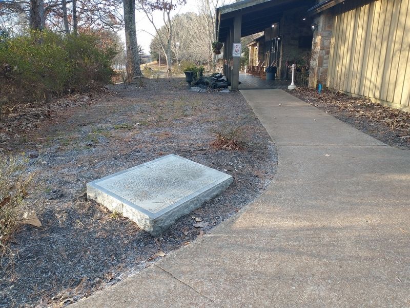
Wells Town Marker
GEOGRAPHIC SORT Title Sort Marker Number Sort Marker Number Sort for Trails Publication Order Sort Publication Order Sort A Erected Year Sort Most Viewed Sort Most Recent-Interest Sort Most Recently Changed Sort SEE FAQ #33 FOR DESCRIPTIONS
Near Interstate 59 1 mile north of County Road 140, on the right when traveling south.
Near Nebraska Avenue Northwest south of Van Ness Street Northwest, on the right when traveling north.
On 1st. Street south of Adams Street, on the right when traveling south.
Near Broad Street (Maryland Route 7) 0.1 miles east of Frenchtown Road, on the right when traveling east.
Near Missouri Route AA Spur 0.5 miles south of Route AA.
On Dartmouth College Highway (New Hampshire Route 10) at Benton Road ( Route 116), on the right when traveling north on Dartmouth College Highway.
On Newmarket Road (New Hampshire Route 108) south of Mill Pond Road, on the right when traveling south.
On West State Street just west of Green Place, on the right when traveling east.
On Main Street (U.S. 206), on the left when traveling north.
On East Broad Street east of North Tradd Street (U.S. 21/64), in the median.
Near North 5th Street, on the right when traveling north.
On Broad Street at Orange Street, on the left when traveling east on Broad Street.
On Ashley River Road (State Highway 61), on the right when traveling north.
Paid Advertisement
︽
Nov. 13, 2026