123 entries match your criteria. Entries 101 through 123 are listed.⊲ Previous 100
King Philip's War 1675-1676 Historical Markers
Markers related to King Philip's War in early Colonial New England from June 1675 through October 1676 (initiated during the 350th anniversary of that war).
Near Metacom Avenue (Rhode Island Route 136) 0.1 miles south of Mount Hope Avenue, on the right when traveling north.
Mount Hope (originally Montaup in the Pokanoket language) is a wooded promontory on the eastern shore of Bristol, Rhode Island overlooking the part of Narragansett Bay known as Mount Hope Bay. Before the European settlers arrived in New England, . . . — — Map (db m301431) HM
On Mount Hope Bridge (Rhode Island Route 114) 0.1 miles south of Old Ferry Road, on the left when traveling south.
Connecting Providence plantations settled by Roger Williams 1636 with the island of Rhode Island settled by John Clarke 1638 (purchased from the Indians and originally called Aquidneck)
On the nearby shores of Mount Hope lived the Wampanoag . . . — — Map (db m305879) HM
On Child Street (Rhode Island Route 103) at Hugh Cole Road, on the right when traveling east on Child Street.
The town of Warren was first settled by people from the Pokanoket Tribe, later known as the Wampanoag. The Pokanoket controlled the land from Plymouth to the eastern shores of Narragansett Bay. In 1620, “Osamequin”, which translates as “Yellow . . . — — Map (db m301430) HM
Near Asylum Road 0.3 miles west of Cole School Road, on the left when traveling north.
In memory of Hugh Cole. Born London, England, 1627. Died Swansea, Mass, 1699. An honorable and useful citizen of Plymouth Colony. Many years a representative of Swansea, Mass.
A sergeant in King Philip's War, 1675. An esteemed friend of . . . — — Map (db m304527) HM
Near Asylum Road 0.3 miles west of Cole School Road, on the left when traveling north.
June, 1628: Born in Devonshire England
1633: Hugh and his family arrive in Plymouth as indentured servants
1634: Hugh was hired by neighbors to tend to their cows. Every day from April to November he milked the cows, brought them . . . — — Map (db m303832) HM
Near West Main Road (Rhode Island Route 77) south of Fairfields Drive, on the right when traveling north.
Buying & Selling Acoaxet
After the war many Native people owned
land in Acoaxet with English-style deeds.
Mamanuah preserved his homelands by remaining
loyal to the English during King Philip's War and by selling
Awashonks' land instead . . . — — Map (db m307138) HM WM
This Tablet erected by the Rhode Island Society of Colonial Wars in recognition of the exceptional services rendered by Col. Benjamin Church. His fearless leadership and effective command during King Philip's War 1675-1676 — — Map (db m307061) WM
Near West Main Road (Rhode Island Route 77) just south of Fairfields Drive, on the left when traveling south.
Distrust for the Newcomers
The Sakonnets and the English were not friends.
As many as 3,000 Sakonnets lived here in the 1600s.
They saw European ships sail by beginning in the 1500s.
European newcomers brought diseases but the
Sakonnets were . . . — — Map (db m307016) HM WM
Near West Main Road (Rhode Island Route 77) just south of Fairfields Drive, on the left when traveling south.
Honoring Awashonks
The land you are standing on was once
reserved for Awashonks and her people.
Awashonks is the best known Sakonnet sachem. She
led her people during the 1660s and 70s. This was a
chaotic time when the English used trickery, . . . — — Map (db m306910) HM WM
Near East Road (Rhode Island Route 179) near Rod Way, on the right when traveling east.
Native people thrived in Narragansett Bay for thousands of years. Giovanni da Verrazzano explored the bay in 1524 and described them as "the most beautiful and the most civilized... we have found," with land that was a "patchwork of cultivated . . . — — Map (db m306718) HM
Near Broad Street just north of Summit Street, on the left when traveling north.
Donated by Alvin Jenks in 1890, the park was built around Dexter's Ledge. In 1676 during King Philip's War, Indian scouts saw the approach of a colonist band from that height. Indians and colonists engaged in Pierce's Fight at a site along the . . . — — Map (db m303634) HM WM
On High Street north of Blackstone Street, on the right when traveling north.
Due to land disputes and broken peace treaties between local natives and early English settlers, King Philip's War took place for 14 months during 1675 and 1676. Captain Michael Pierce's fight with the natives occured on this spot in March of . . . — — Map (db m313313) HM
On High Street near Blackstone Street, on the left when traveling north.
Near this spot Captain Michael Pierce and his company of
Plymovth Colonists ambvshed and outnvmbered were
almost annihilated by the Indians
March 26, 1676 — — Map (db m303649) HM WM
On Newman Avenue (Rhode Island Route 152) at Pawtucket Avenue ( Route 114,1A), on the right when traveling east on Newman Avenue.
Here Rev. Samuel Newman and associates, in 1644, found ample place, "Rehoboth," for their plantation.
Near this spot they built their first church at the centre of the "Ring of the Town", destroyed by Indians in 1676. Rebuilt and enlarged . . . — — Map (db m299260) HM WM
On Newman Avenue (Rhode Island Route 152) at Pawtucket Avenue ( Route 1A), on the right when traveling east on Newman Avenue.
The area of today’s City of East Providence was inhabited by the Pokanoket Tribe, later known as the Wampanoag, for over 10,000 years. In 1621, the Massasoit Ousamequin entered into a mutual protection agreement with the English settlers in . . . — — Map (db m299261) HM
On Ocean Road (Rhode Island Route 1A) at Beach Street, on the left when traveling north on Ocean Road.
Canonchet was the son of Miantonomi and the great-nephew of Canonicus, the co-sachems who welcomed Roger Williams in 1636.
Canonchet was the war leader of the Narragansetts when the United Colonies (Plymouth, Massachusetts Bay, and . . . — — Map (db m306438) HM WM
Near Richard Smith Drive east of Post Road (U.S. 1), on the right when traveling east.
Here were bvried
in one grave
forty men
who died in the Swamp Fight
or on the retvrn march
to
Richard Smith’s block house
December 1675 — — Map (db m301597) HM WM
Near South County Trail (Rhode Island Route 2) 1.4 miles south of Kingstown Road ( Route 132), on the left when traveling west.
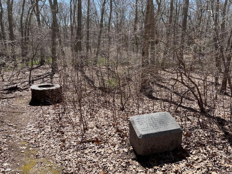
Attacked
within their fort upon this island
the Narragansett Indians
made their last stand
in King Philip's War and
were crushed by the united forces
of the Massachusetts Connecticut
and Plymouth Colonies
in the
“Great Swamp Fight” . . . — — Map (db m300554) HM