220 entries match your criteria. Entries 201 through 220 are listed.⊲ Previous 100
Alabama Tourism Department Historical Markers
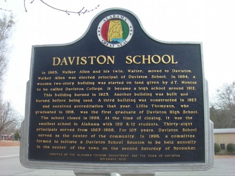
The Alabama Tourism Department has “exclusive power and authority to plan and conduct all state programs of information and publicity designed to attract tourists to the state of Alabama." One way it promotes travel to and through Alabama is by working with partners to place hundreds of historical markers throughout the state, which have the multi-color Great Seal of Alabama medallion at the top of each marker.
Daviston, Alabama
Daviston, incorporated February 16, 1887, is believed to be the first incorporated rural town in Tallapoosa County. The first mayor was J.D. Dunn. Daviston was a natural evolution of the opening of Indian lands in 1832. Much . . . — — Map (db m92502) HM
This land belonged to the Creek (Muskogee) Indians, who had lived in the Tallassee area for hundreds of years, until their removal in 1836. Benjamin Hawkins, the Creek Indian Agent for the U.S. government, visited the Creek Indians in 1798 in the . . . — — Map (db m67865) HM
In 19th-century Northport, the land was fertile, cotton was king
and the riverbank was a hub for commerce and activity. Warehouses
were built for cotton storage as early as 1824 near this site along
the banks of the Black Warrior River. The . . . — — Map (db m285148) HM
Romulus was found on the Bradford Maps in 1835 and 1938, making it one of the oldest communities in Tuscaloosa County. Population in 1880 was almost 700, in 1900 almost 800. The name was believed to be taken from Romulus and Remus, twin brothers in . . . — — Map (db m297060) HM
In 1926, the City of Tuscaloosa purchased a 31-acre tract of land that would become Queen City Park. Amenities were added utilizing funds from President Roosevelt's Civil Works Administration (CWA) and Works Project Administration (WPA). Some of the . . . — — Map (db m203568) HM
Cordova, Alabama, located in Walker County on the Mulberry Fork of the Black Warrior River, was founded in 1859 by Captain Benjamin McFarland Long. He named the town after one in Mexico where he served under Robert E. Lee during the Mexican War . . . — — Map (db m43145) HM
Black Warrior Town Black Warrior Town was one of the northernmost settlements of the Muscogee (Creek) Nation. The town center was situated on the eastern side of the confluence of the Sipsey and Mulberry Fork of the Black Warrior River. . . . — — Map (db m216160) HM
Memorial Park is Jasper’s oldest and largest park located in the historic North Highlands area of the city. Prior to becoming known as the North Highlands area, it was part of a farm owned by an early Jasper businessman, J. R. Kilgore. Jasper, . . . — — Map (db m44326) HM
The first recorded land owner was James Tittle on November 28,
1822; second, John Hellums on October 20, 1823; third, Ashley
Aldridge on September 10, 1858. All these made up the town
of Kansas. The first postmaster noted was Frank Gamba in . . . — — Map (db m286455) HM
The Town of Sipsey was founded in 1912 by Milton H. and Rose Fies
and the Maryland Coal and Coke Co. (later named the DeBardeleben
Coal Co). The village was built as a showplace of a mining village
in the South. It consisted of a large . . . — — Map (db m216152) HM
(side 1)
McIntosh has a community population of about 300. The town was incorporated on April 7, 1970, becoming the third incorporated town in Washington County. The following officials were elected to serve four year terms: Mayor Carrol . . . — — Map (db m70596) HM
The Founding of Gee's Bend
Situated on the edge of Alabama's Black Belt in Wilcox County is Gee's Bend, a block of land enclosed on three sides by the massive bend in the Alabama River. Gee's Bend was only seven miles from the county seat of . . . — — Map (db m203706) HM
A Monument Committee, consisting of Susan Baggett, Chairman; Gladys Mason, Clara Blackmon, Jane Shelton Dale, Tommy McNeece, Bill Albritton and Mayor Henrietta Blackmon, was established on February 12, 2004. Their plan was to build a monument to . . . — — Map (db m68158) HM WM
(obverse)
Representing 10,300 acres with 73 buildings, and 14 structures, the Furman Historic District, encompassing Old Snow Hill Road, Wilcox County Road 59, Burson Road, and AL 21, was placed on the National Register of Historic Places . . . — — Map (db m68184) HM
Originally known as "The Ridge," Oak Hill was settled c. 1830 primarily
by former South Carolinians. During the early 1800s, Ebenezer
Methodist Campground was located here. Due to a malaria outbreak,
settlers from nearby Hamburg moved to Oak . . . — — Map (db m151687) HM
Front:
The Town of Pine Apple was settled by 1816, originally named Friendship in the 1820s and later designated Pine Apple by the United States Post Office in 1851. Pine Apple was incorporated on February 24, 1872. The following . . . — — Map (db m47706) HM
Front:
This area was Choctaw Indian country before the arrival of settlers moving south and west in this new nation. The first settlement, known as Arnold, was located one mile north of the present town center. Mr. Charley A. Sheldon from . . . — — Map (db m47618) HM
(Side 1)
The Cherokee Indians were here first. They lived under the bluffs, near an area called the “division of the waters.” Richard McMahan established the first permanent settlement here in1820. John Byler completed the . . . — — Map (db m80558) HM
Byler Road
Byler Road, which passes through Natural Bridge, was
Alabama's first state road. Governor W.W. Bibb signed into law a bill authorizing its construction on December 16, 1819. The turnpike was named for John Byler, its chief . . . — — Map (db m153261) HM
The legendary Hank Williams recorded 30 hit singles,
including seven number-one hits, on the Billboard Top Ten
country-western charts in six years. However, his erratic
behavior caused by a mixture of alcohol and narcotics
caused WSM’s Grand . . . — — Map (db m179221) HM
220 entries matched your criteria. Entries 201 through 220 are listed above. ⊲ Previous 100