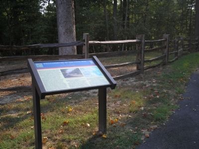
Williamsburg, once the capital of Virginia, declined after the American Revolution. By 1861, although many colonial structures still lined the streets, the Governor’s Palace and former capitol building lay in ruins. The College of William and Mary . . . — — Map (db m171657) HM
When Virginia seceded on April 17, 1861, Union and Confederate leaders alike saw the Peninsula as an avenue of attack against Richmond. Federal ships on the James and York rivers could guard an army’s flanks and escort supply vessels upstream. Fort . . . — — Map (db m77989) HM
Because Lt. Col. Benjamin S. Ewell had made little progress on the Williamsburg defenses by late June 1861, Gen. John B. Magruder, commanding the Army of the Peninsula, replaced him with Gen. Lafayette McLaws. Capt. Alfred L. Rives, acting chief of . . . — — Map (db m171658) HM
On the other side of the parapet is Quarterpath Road, a historic roadbed that for centuries linked Williamsburg to Allen’s Wharf on the James River. It runs behind the Confederate fortifications here, gaining additional importance during the Battle . . . — — Map (db m184202) HM
As the May 5, 1862, Battle of Williamsburg raged along the Bloody Ravine and in front of Fort Magruder, the Union commander sought to turn the flank of the Confederate defenses. Gen. Joseph Hooker was convinced that the right flank was unoccupied . . . — — Map (db m77991) HM
This is Redoubt 2 in the Confederate defensive line across the Peninsula at Williamsburg. Like the other fortifications in the line, Redoubt 2 included platforms for cannons and a magazine within the parapet walls. A ditch surrounded the redoubt. . . . — — Map (db m184146) HM
(Preface) In April 1862, Union forces under Gen. George B. McClellan began a major campaign to capture Richmond, marching west from Fort Monroe up the Peninsula between the York and James Rivers toward the Confederate capital. A . . . — — Map (db m184908) HM
Here are the remains of Fort Magruder, an earthen redoubt built in 1861 at the center of the Confederate defensive line. The “Williamsburg Line” stretched between the James and York rivers and consisted of fourteen forts, commonly called . . . — — Map (db m10371) HM
A critical part of the Battle of Williamsburg took place here on May 5, 1862. Union troops occupied the ridge to your right across present-day U.S. Route 60. The Confederate line of redoubts stood to your left on the ridge to the west. Felled timber . . . — — Map (db m164872) HM
You are near the northern end of the Confederate defensive line built in 1861 to protect the eastern approach to Richmond. The “Williamsburg Line” stretched between the James and York rivers and consisted of fourteen forts, commonly called . . . — — Map (db m10373) HM