18 entries match your criteria.
Historical Markers and War Memorials in County Wicklow, Leinster
By William Fischer, Jr., May 16, 2019
Clocha an Phiobaíre / Piper's Stones Marker
| 1 ► Ireland, Leinster, County Wicklow, Athgreany — Clocha an Phiobaíre / Piper's Stones — |
| On National Route N81, 3 kilometers south of Leinster Route R756, on the left when traveling south. | |||
| 2 ► Ireland, Leinster, County Wicklow, Baltinglass — Jennie Wyse Power — (nee O'Toole) — 1858-1941 — |
| On Main Street (Leinster Route R747), on the right when traveling east. | |||
| 3 ► Ireland, Leinster, County Wicklow, Baltinglass — Mainistir Bhealach Conglais / Baltinglass Abbey — |
| On Church Lane, 0.3 kilometers north of Main Street (Leinster Route R747), on the right when traveling north. | |||
| 4 ► Ireland, Leinster, County Wicklow, Baltinglass — Michael Dwyer, Sam MacAllister, and the Insurrectionists — |
| On Main Street (Leinster Route R747) at Market Square, on the left when traveling east on Main Street. | |||
| 5 ► Ireland, Leinster, County Wicklow, Baltinglass — Private Michael McGuinn — |
| On Main Street (Leinster Route R747) at Market Square, on the left when traveling east on Main Street. | |||
| 6 ► Ireland, Leinster, County Wicklow, Blessington — Dwyer's Brook — 1798 - 1998 — |
| Near Lake Drive, on the left when traveling south. | |||
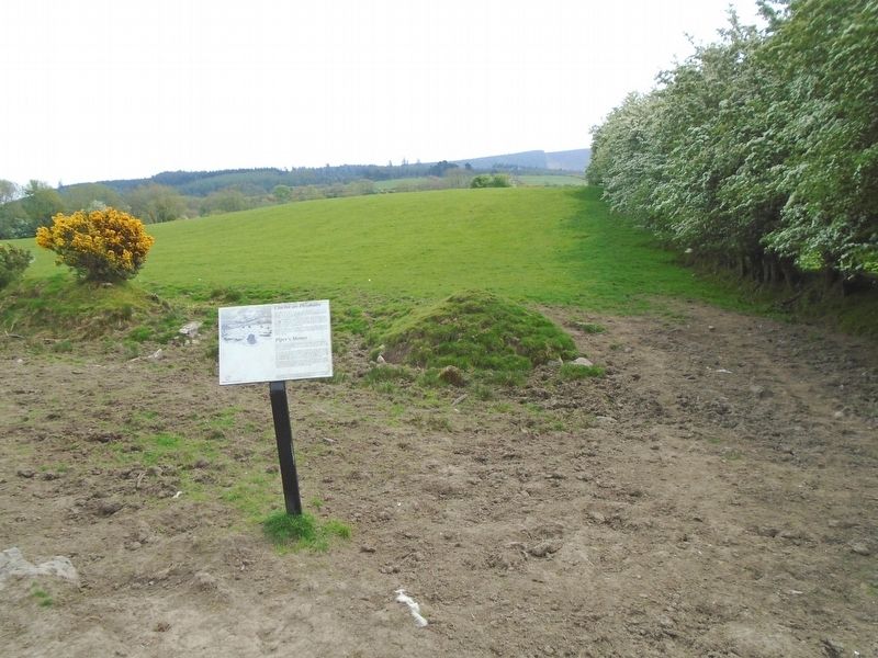
| 7 ► Ireland, Leinster, County Wicklow, Castleruddery Upper — Ciorcal Cloch le Claífort Chaisleán an Ridire — Castleruddery Embanked Stone Circle — |
| On Local Route L4321, 1.2 kilometers east of National Route N81, on the right when traveling east. | |||
| 8 ► Ireland, Leinster, County Wicklow, Enniskerry — Powerscourt Estate Terraces — |
| 9 ► Ireland, Leinster, County Wicklow, Enniskerry — Tiny and Teddy and Eugenie and Princess — |
| 10 ► Ireland, Leinster, County Wicklow, Glencree — The German Military Cemetery, Glencree — Der Deutsche Soldatenfriedhof Glencree — Reilig Mhíleata Gearmánach i nGleann Criothaigh — |
| On Local Route L1011, 0.6 kilometers east of Leinster Route R115, on the left when traveling east. | |||
| 11 ► Ireland, Leinster, County Wicklow, Glencree — The German Military Cemetery, Glencree — Der Deutsche Soldatenfriedhof Glencree — Reilig Mhíleata Gearmánach i nGleann Criothaigh — |
| On Local Route L1011, 0.6 kilometers east of Leinster Route R115, on the left when traveling east. | |||
| 12 ► Ireland, Leinster, County Wicklow, Glendalough — 841.871 — An Ardeaglais / The Cathedral — |
| 13 ► Ireland, Leinster, County Wicklow, Glendalough — 833.371 — An Cloigtheach / The Round Tower — |
| 14 ► Ireland, Leinster, County Wicklow, Glendalough — 832:371 — An Geata / The Gateway — |
| On Leinster Route R757, on the right when traveling east. | |||
| 15 ► Ireland, Leinster, County Wicklow, Glendalough — Revd Edward Rowan — |
| 16 ► Ireland, Leinster, County Wicklow, Glendalough — St. Kevin's Way — |
| On Leinster Route R757, on the left when traveling east. | |||
| 17 ► Ireland, Leinster, County Wicklow, Glendalough — 839.371 — 'Teach na Sagart' / The 'Priest's House' — |
| 18 ► Ireland, Leinster, County Wicklow, Glendasan — Mianach Hero agus Urláir Chóireála / Hero Mine and Dressing Floors — |
| On Wicklow Gap Road (Leinster Route R756), on the left when traveling west. | |||