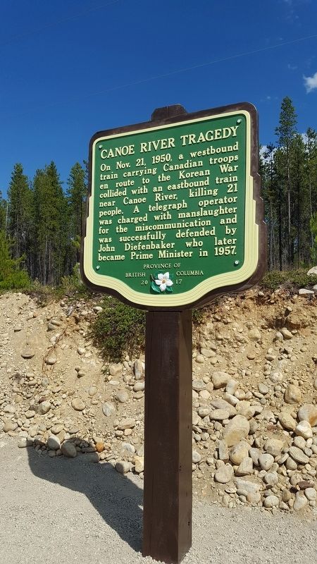
On Nov. 21, 1950, a westbound
train carrying Canadian troops
en route to the Korean War
collided with an eastbound train
near Canoe River, killing 21
people. A telegraph operator
was charged with manslaughter
for the miscommunication and
was . . . — — Map (db m187887) HM
Named after “Tete Jaune”, blond fur trader at Jasper House, this low pass was favoured by Sandford Fleming in his railway surveys of the 1870's. Rejected by the C.P.R., the route was later used by the Grand Trunk Pacific and the Canadian Northern . . . — — Map (db m187943) HM
[English] In 1971, the Government of Canada recognized the national historical significance of several western mountain passes, including the Yellowhead Pass. These passes played an important role in opening up . . . — — Map (db m311998) HM
[English] Yellowhead Pass National Historic Site straddles the Alberta-British Columbia border, stretching from the outskirts of the town of Jasper to the Fraser River crossing in Mount Robson Provincial Park. . . . — — Map (db m311696) HM
This historic pass gets its name from a famous fur trader that worked here during the early part of the 19th century. “Tête Jaune” was the nickname of Pierre Bostonais, a fair haired Iroquois trader who was employed by the North West and Hudson's . . . — — Map (db m311999) HM
[English] In the early 1920s, portions of the abandoned rail line through Yellowhead Pass became a rough trail for adventurous automobile travellers. Formal road construction did not begin until the 1940s. During the . . . — — Map (db m311996) HM
[English] Yellowhead Pass, with its low elevation and gentle grade, seemed like a good choice when surveyors were looking for a route to connect British North America from coast to coast via a transcontinental . . . — — Map (db m311694) HM
[English] This pass was used for brief periods from the mid-1820s to the early 1850s by the Hudson's Bay Company, principally to transport leather, especially moosehides, from the Saskatchewan District to its posts in New Caledonia. . . . — — Map (db m202600) HM
[English] For thousands of years and long before it was named Yellowhead, this low pass was used by indigenous peoples. For Aboriginal people this corridor was an important travel and trade link, . . . — — Map (db m311697) HM
[English] For centuries, Yellowhead Pass has been a travel route connecting people, places and wildlife. Human use of the pass spans from its early days as a passage for Aboriginal trade and travel, to its current . . . — — Map (db m311695) HM
In 1942, over 21,000 Japanese Canadians were unjustifiably removed from British Columbia's coast. Despite their protests many men aged 19 to 60+ were torn from their families and sent to road camps like Red Pass. Internees gave 290,238 man-days of . . . — — Map (db m187875) HM
Simon Fraser's men cut the first spruce logs near the junction of the Nechako and Fraser Rivers in 1807 to construct Fort George. Starting near the original fort a century later, Prince George became in the 1940's the centre of the white spruce . . . — — Map (db m187962) HM