Near New Brunswick Route 127, 9 kilometers south of New Brunswick Route 1, on the right when traveling south.
English:
In 1984, the United States Congress designated Saint Croix Island an international historic site in recognition of the historical significance of the Island to the United States and Canada.
The majestic Saint Croix . . . — — Map (db m144503) HM
Near New Brunswick Route 127, 9 kilometers south of New Brunswick Route 1, on the right when traveling south.
English:”Having found no place more suitable than this island... Sieur de Monts… allowed me to draw up the plan of our settlement."
Seventy-nine men, including noblemen, artisans, labourers, Catholic and . . . — — Map (db m144499) HM
Near New Brunswick Route 127, 9 kilometers south of New Brunswick Route 1, on the right when traveling south.
English:
Sieur de Monts named the island Saint Croix Island, and Champlain recorded that: "The island is covered with fir, birch, maple, and oak. It is naturally well located... and is easy to fortify... We considered this the . . . — — Map (db m144498) HM
Near New Brunswick Route 127, 9 kilometers south of New Brunswick Route 1, on the right when traveling south.
English:”It was difficult to know the country without having wintered there... Winter came upon us sooner than we had expected..."
Could you survive a winter on Saint Croix Island if...
• dangerous ice cut you . . . — — Map (db m144501) HM
Near New Brunswick Route 127, 9 kilometers south of New Brunswick Route 1, on the right when traveling south.
English:
The precise mapping of Acadie in the 17th century was the work of one individual — Samuel de Champlain.
Between May 1604 and August 1605, travelling by barque, pinnace, canoe or on foot, Champlain surveyed and . . . — — Map (db m144500) HM
Near New Brunswick Route 127, 9 kilometers south of New Brunswick Route 1, on the right when traveling south.
English:"In order to escape the cold and dreadful winter we experienced on Saint Croix Island, Sieur de Monts decided to move the settlement to another location. Having… found no port that was acceptable to us... we outfitted . . . — — Map (db m144502) HM
Near New Brunswick Route 127, 9 kilometers south of New Brunswick Route 1, on the right when traveling south.
English:
Welcome On Saint Croix Island in 1604, French nobleman-courtier Pierre Dugua Sieur de Monts established a settlement. This outpost was the first attempt by the French at year-round colonization in the territory they . . . — — Map (db m144495) HM
Near New Brunswick Route 127, 9 kilometers south of New Brunswick Route 1, on the right when traveling south.
English: Samuel de Champlain, explorer and geographer on Sieur de Monts' expedition, recorded in late June 1604 that:
”...we entered a river... wherein...we found two islands — one very small and near the western . . . — — Map (db m144496) HM
Near New Brunswick Route 127, 9 kilometers south of New Brunswick Route 1, on the right when traveling south.
English:
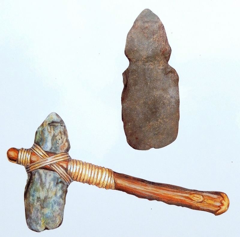
The Micmac, Maliseet, and Passamaquoddy hunters and traders provided a commercial lifeline for Sieur de Monts' colony. Their first-hand knowledge of the territory allowed these entrepreneurs to control the supply of furs. . . . — — Map (db m144497) HM