By 1799 the Morden family had a sawmill near this site
on Spencer Creek north of Dundas Street. They sold this
property in 1800 to Edward Peer who built a grist-mill
about 300 yards south-east, close to Dundas Street, and
adopted the name . . . — — Map (db m220819) HM
This plaque is to commemorate the men and the units of the 102nd Wentworth Field Battery Royal Canadian Artillery. Formed in Dundas December 15th 1936 stood down March 31st 1970.
The 102nd Wentworth Field Battery was mobilized for active service . . . — — Map (db m196244) HM WM
1921
This monument is erected by
the citizens of Dundas in loving and
grateful memory of our brave boys who
gave their lives for freedom in the
Great War of 1914-18, and for the Empire
in the South African War of 1900-1
Great War 1914 . . . — — Map (db m196251) WM
The area now known as the Dundas Driving Park was
previously a large part of the estate of George Rolph,
lawyer, local politician and hero of the War of 1812. For
many years Rolph graciously allowed a large portion of his
estate to be used as . . . — — Map (db m234178) HM
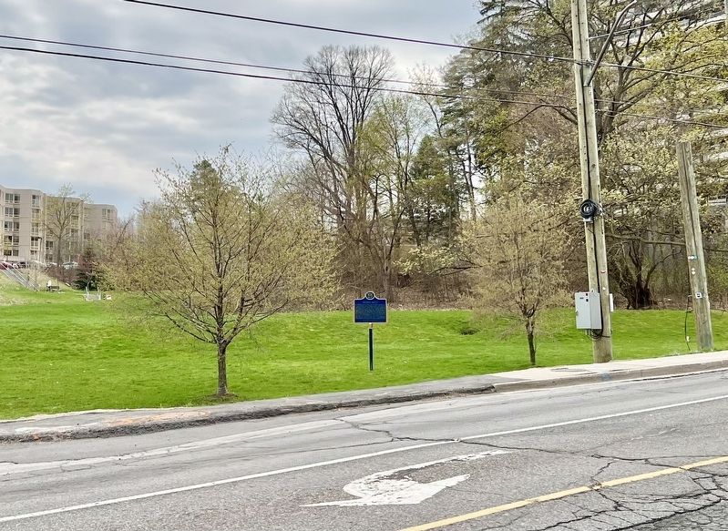
DUNDAS STREET
Dundas Street, named for Henry Dundas, Secretary of State for the British Home Department (1791-1794), was built on Lieutenant Governor Simcoe's orders in 1793-1794. The road, cut by a party of Queen's Rangers from . . . — — Map (db m220871) HM
This is the original site of Rock Chapel, a frame building erected in 1822. First known as Cummings Chapel, it was built by local members of the Methodist Episcopal Church and later taken over by the Wesleyan Methodists. The Reverend Egerton . . . — — Map (db m226750) HM
[text of metal inset plaque]
1849 Sir William Osler 1949
Erected by the Hamilton Academy of Medicine
to commemorate the hundredth anniversary
of the birth of
Sir William Osler
Bart.
[text of main plaque]
Sir . . . — — Map (db m220911) HM
In pioneer days waterways provided the essential means
of transportation. Dundas, located at the head of navigation on Lake Ontario and the eastern terminus of the Governor's Road", was thus in a favoured position. However, in 1823 the . . . — — Map (db m219998) HM
Peter Desjardins made it his life's work to develop viable canal route from Lake Ontario to Dundas
Desjardins came to Canada from France in 1792. He settled in Dundas in 1805 where he became Richard Hatt's chief clerk, Hatt envisioned a . . . — — Map (db m226479) HM
Dundas was incorporated as a town in 1847 by a special Act of the legislature of the Province of Canada. The following year the town council accepted a tender from a local builder, James Scott, to erect a stone town hall and voted £2000 to cover the . . . — — Map (db m196237) HM
THE FOUNDING OF DUNDAS
In 1793 Lieutenant-Governor Simcoe authorized a townplot in this vicinity at the then eastern terminus of Dundas Street. Its original name, "Coote's Paradise", was derived from that of the adjoining marsh, a haunt of . . . — — Map (db m219992) HM
The province's first paper mill began operations in 1826.
Situated about 150 yards downstream from here, it was owned by James Crooks (1778-1860), one of Upper Canada's most successful entrepreneurs. On four hundred acres of land purchased here . . . — — Map (db m223079) HM