On Caroline Street, 0.1 miles north of Lewis Street, on the left when traveling north.
Four blocks west stands Kenmore, built in 1775 by Col. Fielding Lewis for his wife, Betty, sister of George Washington. Near here, between Kenmore and the Rappahannock River, stood Lewis’s warehouses and docks. Kenmore’s intricate plasterwork is the . . . — — Map (db m1149) HM
On Princess Anne Street at George Street, on the left when traveling south on Princess Anne Street. Reported permanently removed.
Wounded Union Soldiers in a Fredericksburg yard, May 1864. All but one of these men have been wounded in the leg. Most of the wounded soldiers brought to Fredericksburg survived…
…But some did not. Hundreds of men died in the hospitals here . . . — — Map (db m2575) HM
On Princess Anne Street at George Street on Princess Anne Street. Reported permanently removed.
With the arrival of the Union army in the Spring of 1862, Fredericksburg-area slaves by the hundreds fled to freedom. To house the refugees, the Union army transformed the basement of the city courthouse (in front of you) into a temporary barracks. . . . — — Map (db m2567) HM
On Princess Anne Street at George Street, on the left when traveling south on Princess Anne Street. Reported permanently removed.
Had the demon of destruction held an orgie in the town, had all the imps of hell been called together and turned loose upon the city, it could scarcely have been more blasted, ruined and desecrated than when left by the Yankee army.” . . . — — Map (db m2576) HM
On Princess Anne Street at George Street, on the left when traveling south on Princess Anne Street. Reported permanently removed.
“The General punishes most severely any [soldier] caught in the most trivial act. He says [we must] show the Southern People we will act with true Yankee Hospitality even to the worst treasonable communities.” . . . — — Map (db m2584) HM
On Princess Anne Street at William Street (Virginia Route 3) on Princess Anne Street. Reported missing.
This nine-inch smooth bore “Dahlgren” gun is one of the few remaining artifacts from the CSS Virginia (formerly known as the USS Merrimack). This gun saw action on March 8, 1862 off of Hampton, Virginia when the . . . — — Map (db m132786) HM
On Princess Anne Street at Amelia Street, on the right when traveling south on Princess Anne Street. Reported permanently removed.
In the summer of 1862, Confederate authorities imprisoned four Union men from Fredericksburg and Spotsylvania County. The arrested Unionists were local citizens in good standing, but who refused to renounce their allegiance to the United States. . . . — — Map (db m1146) HM
On Caroline Street (State Highway 1) at Charlotte Street, on the left when traveling north on Caroline Street.
For 18 months Fredericksburg was at the heart of the Civil War. Union and Confederate soldiers camped here, fought here and died here. Today there are many sites within the city. Civil War walking tour information is available free at the . . . — — Map (db m181508) HM
On Caroline Street (State Highway 1) at Charlotte Street, on the left when traveling north on Caroline Street.
Because of the immense amount of fighting that occurred here, the Fredericksburg area has been called the vortex of the Civil War. Four major battles - Fredericksburg, Chancellorsville, Wilderness and Spotsylvania Court House - resulting in . . . — — Map (db m9096) HM
On Caroline Street near Dixon Street (Business U.S. 17), on the left when traveling south.
The Sentry Box (ca. 1786) is an elegant specimen of late~Georgian~style architecture. Brig. Gen. George Weedon of the Continental Army, later mayor of Fredericksburg, built the house and named it to reflect his military career. Weedon's wife, . . . — — Map (db m5095) HM
On Kenmore Avenue at Hanover Street, on the left when traveling east on Kenmore Avenue. Reported permanently removed.
A Northern photographer took this picture of Marye’s Heights in May 1864, setting up his camera in front of “Federal Hill,” a large white house approximately 250 yards to your left-rear. Seventeen months earlier, thousands of Union . . . — — Map (db m1066) HM
On Kenmore Avenue at Hanover Street, on the right when traveling east on Kenmore Avenue. Reported permanently removed.
The post-Civil War street in front of you, Kenmore Avenue, covers a wartime millrace or canal ditch. On December 13, 1862, the ditch became a maddening obstacle to Union soldiers advancing against Marye’s Heights. Five feet deep, 15 feet wide, and . . . — — Map (db m1067) HM
On Kenmore Avenue at Hanover Street, on the left when traveling south on Kenmore Avenue. Reported permanently removed.
Fredericksburg had enjoyed more than a century of comfortable prosperity by 1860. Although its economic heydey was past, the town’s elegant houses, numerous churches, and shady, tree-lined streets bespoke lingering wealth and refinement.
The . . . — — Map (db m2577) HM
On Hanover Street at Kenmore Avenue, on the right when traveling east on Hanover Street. Reported missing.
December 13, 1862. The blue columns of the Army of the Potomac deployed here in the Canal Ditch valley, along the route of present Kenmore Avenue. Then with drums beating and flags flying, the long battle lines advanced towards Marye’s Heights and . . . — — Map (db m110488) HM
Near Rappahannock Canal Footpath, 0.1 miles west of Washington Avenue. Reported permanently removed.
The Rappahannock Canal fed lesser waterways that powered a variety of small industries. One of these secondary drainages branched off from the main canal in this area and became an obstacle to Federal troops during the 1862 battle of . . . — — Map (db m1070) HM
Near Washington Avenue, on the right when traveling south.
(Text of tablet placed in 1992):In honor of Confederate Soldiers who died in Fredericksburg Oct 1861 through Mar 1862 and buried in Barton St. Cemetery No record of reinterment when site reused in 1920 Alabama 14th Infantry- Archer . . . — — Map (db m167003) HM
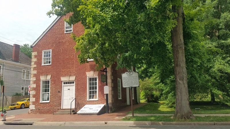
On George Street at Princess Anne Street, on the right when traveling east on George Street.
Founder of the American Red Cross. A devoted nurse and tireless organizer who knew no enemy but the unfeeling heart. We walk the ways she took in easing the suffering at the Battle of Fredericksburg when the churches became military hospitals. — — Map (db m14428) HM