17 entries match your criteria.
Related Historical Markers
Downtown Fredericksburg Civil War Sites related markers
By Kevin W., June 8, 2021
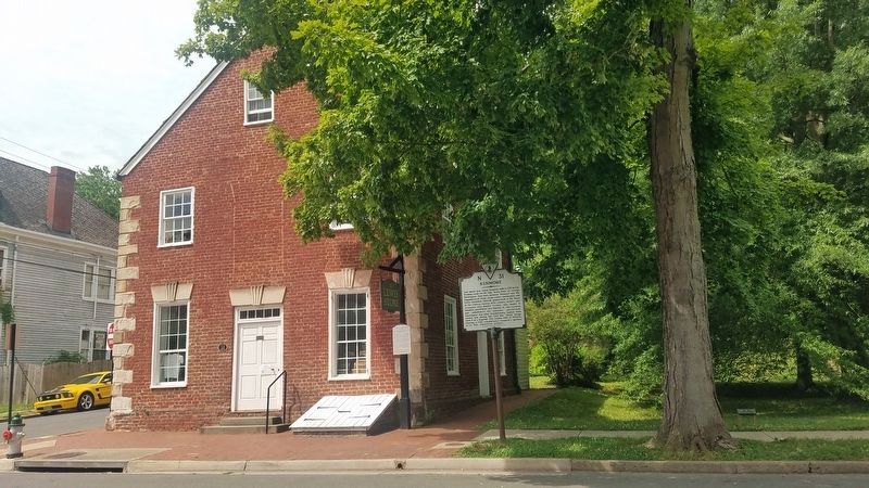
Kenmore Marker
SHOWN IN SOURCE-SPECIFIED ORDER
| On Caroline Street, 0.1 miles north of Lewis Street, on the left when traveling north. |
| On Princess Anne Street at George Street, on the left when traveling south on Princess Anne Street. Reported permanently removed. |
| On Princess Anne Street at George Street on Princess Anne Street. Reported permanently removed. |
| On Princess Anne Street at George Street, on the left when traveling south on Princess Anne Street. Reported permanently removed. |
| On Princess Anne Street at George Street, on the left when traveling south on Princess Anne Street. Reported permanently removed. |
| On Princess Anne Street at William Street (Virginia Route 3) on Princess Anne Street. Reported missing. |
| On Princess Anne Street at Amelia Street, on the right when traveling south on Princess Anne Street. Reported permanently removed. |
| On Caroline Street (State Highway 1) at Charlotte Street, on the left when traveling north on Caroline Street. |
| On Caroline Street (State Highway 1) at Charlotte Street, on the left when traveling north on Caroline Street. |
| On Caroline Street near Dixon Street (Business U.S. 17), on the left when traveling south. |
| On Kenmore Avenue at Hanover Street, on the left when traveling east on Kenmore Avenue. Reported permanently removed. |
| On Kenmore Avenue at Hanover Street, on the right when traveling east on Kenmore Avenue. Reported permanently removed. |
| On Kenmore Avenue at Hanover Street, on the left when traveling south on Kenmore Avenue. Reported permanently removed. |
| On Hanover Street at Kenmore Avenue, on the right when traveling east on Hanover Street. Reported missing. |
| Near Rappahannock Canal Footpath, 0.1 miles west of Washington Avenue. Reported permanently removed. |
| Near Washington Avenue, on the right when traveling south. |
| On George Street at Princess Anne Street, on the right when traveling east on George Street. |
May. 20, 2024