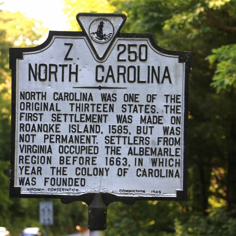
Grayson County Virginia. Area 425 square miles. Formed in 1792 from Wythe. Named for William Grayson, one of the firsrt two United States Senators from Virginia. Headwaters of the New River are in this county.
North . . . — — Map (db m104660) HM
Grayson County, Virginia. Area 425 square miles. Formed in 1792 from Wythe. Named for William Grayson, one of the first two United States Senators from Virginia. Headwaters of New River are in this county.
North . . . — — Map (db m228775) HM
This place became the county seat of Grayson County in 1850; the first case was tried in the newly erected courthouse in 1851. The present courthouse was built in 1908. Independence was incorporated in 1934. — — Map (db m65763) HM
Grayson County Board of Supervisors Brenda R. Sutherland — Chair • Elk Creek District Kenneth R. Belton — Vice Chair • Old Town District Michael S. Hash • Providence District G. Eddie Rosenbaum • Wilson District John S. Fant • At-large . . . — — Map (db m174489) HM
George Eskridge, born in Virginia in 1763, served in Revolutionary War, having enlisted in the Virginia Continental line at an early age. Eskridge came to Kentucky and settled in Grayson County, circa 1811. Built a log house at Falls of Rough River . . . — — Map (db m162247) HM
Granville Blevens of Grayson county, Virginia, joined the Confederate Army with his brother, Haywood, and some friends on 5/29/1861 at Wytheville, Virginia. Like many other soldiers, both North and South, Granville died of sickness. He was buried . . . — — Map (db m164999) HM
During the 1842 session of the Virginia General Assembly, despite opposition, John Carroll successfully sponsored a bill partitioning Grayson County and forming a new county, thus fulfilling his campaign pledge. Local tradition holds that the . . . — — Map (db m190031) HM
Grayson County, formed in 1792 from Wythe County, was named for William Grayson, one of Virginia's first two United States senators. Its court initially met at William Bourne's farm near present-day Fries. Here at Old Town, earlier known as . . . — — Map (db m182112) HM
These apple trees are antique varieties which are significant in the history of the State of Virginia as well as in apple propagation and development. They continue to be valued today for their hardiness, longevity and delicious fruit.
Duval . . . — — Map (db m179826) HM
Grayson County. Western Grayson County has produced fine traditional musicians, performers at school entertainments, fiddlers’ conventions, and community gatherings for many generations. Among them was the old-time string band, the Rugby Gully . . . — — Map (db m70778) HM
America's commercial country music began in a cotton mill in Fries in 1923. Mill hand Henry Whitter traveled to New York and recorded a hit, "The Wreck of the Old '97". In 1924 a second mill hand, Ernest V. Stoneman, went north to record. They were . . . — — Map (db m208656) HM
Grayson County Courthouse
has been registered as a
Virginia Historic Landmark
pursuant to the authority vested in the
Virginia Historic Landmarks Commission Act of 1966 — — Map (db m158005) HM
In memory of:
Robert A. Henderson • Helen T. Henderson • H. Ruth Henderson • Walter A. Hash
whose dedication and devotion to this school and to this community shall always be remembered.
Independence. Grayson County is noted for traditional music and altitude. Four of Virginia’s five highest mountains are to be found here. In 1850 Grayson County was in the midst of controversy concerning the location of the county seat. As a . . . — — Map (db m72616) HM
Founded in 1873 as the Marion Female College by the Rev. J.J. Scherer. It was chartered by the Commonwealth of Virginia as a liberal arts college the following year and renamed Marion Junior College in 1912. The first missionary society of the . . . — — Map (db m208593) HM
Worshiped in 1831 at McKinney's Landing, where the McKinney family and a small group of neighbors met together for informal services. During the winter of 1841-1842, a traveling preacher from Illinois, G. Gates, organized the congregation into a . . . — — Map (db m286697) HM
Built on 800-acre farm near Bells by Geo. S. Fitzgerald, who moved with family from Virginia to Texas in 1857. He cut building timber on his farm in 1859. On return from Confederate army he erected this house in 1866. He was prosperous and . . . — — Map (db m183656) HM
Grayson County Formed in 1792 from Wythe. Named for William Grayson, one of the first two United States senators from Virginia. Headwaters of New River are in this county.
Carroll County Formed in 1842 from Grayson, and named for . . . — — Map (db m228312) HM
Carroll County Area 458 Square Miles. Formed in 1842 from Grayson, and named for Charles Carroll of Carrollton, signer of the Declaration of Independence. New River runs through this county.
Grayson County Area 425 . . . — — Map (db m182119) HM
Whitetop, Mt. Rogers. Visible at great distances, Whitetop Mountain was known as the “Meadow Mountain” in colonial times. With a climate similar to southern Canada, this beloved mountain is Virginia’s second highest peak and immediately . . . — — Map (db m71555) HM
Whythe County. Area 479 Square Miles. Formed in 1789 from Montgomery, and named for George Wythe, signer of the Declaration of Independence. New River flows through the county.
Grayson County. Area 425 Square . . . — — Map (db m65748) HM
In 1854, Stephen F. Nuckolls settled with his wife, Lucinda, and family in Nebraska Territory from Atchison County, Missouri. He built the first brick house in Nebraska City, at this corner of 5th & Main (Central Avenue). Nuckolls, who became a . . . — — Map (db m251880) HM
Caddo and Wichita Indian tribes occupied this area before Anglo settlement began in the 19th century. Among the early settlers was James G. Thompson, whose daughter, Sarah Virginia, married James A. Potts (1838-1905). A Confederate veteran, rancher, . . . — — Map (db m264095) HM
David Elliott (d. 1909), for whom this cemetery is named, was a pioneer settler in the southern part of Grayson County. Born in Murfreesboro, Tennessee, in 1817, he joined the crew of a boat on the Mississippi River at an early age. He later served . . . — — Map (db m281785) HM
Peter Wagener Grayson was born in 1788 in Bardstown, Virginia (later part of Kentucky) to Benjamin and Caroline (Taylor) Grayson, members of a politically prominent family. He served in the War of 1812 and worked in Louisville as an attorney, . . . — — Map (db m294308) HM
“Forged by mountains, river and America's desire for progress, the 57-mile New River Trail State Park provides you unparalleled opportunities for physical, intellectual and spiritual adventures."
[side 1]List of persons who hath sworn allegiance to the State in 1777 We whose names are hereunto subscribed to swear or affirm that we renounce and refuse all allegiance to George III, King of Great Britain, his heirs and successors, . . . — — Map (db m174491) WM
In the aftermath of the Civil War, plans were enacted for the Reconstruction of the Union with the creation of the Freedmen's Bureau in 1865, and the passages of the Civil Rights Act of 1866 and the Reconstruction Act of 1867. Texas would not . . . — — Map (db m282770) HM
Thin black lines indicate changes in relevance. Between each pair of lines entries are ordered geographically but all have the same relevance.
* Inflectional forms of words are their plurals, singulars, and possessives as well as gramatical tenses and similar variations.